
St Andrew's Church in Stanhope, County Durham
St Andrew's Church in County Durham, Stanhope is a Anglicana church. It is near St Andrew's Place and belongs to the Diocese of Durham. St Andrew's Church also exists in Monk Hesleden, Bolam and Spennymoor.
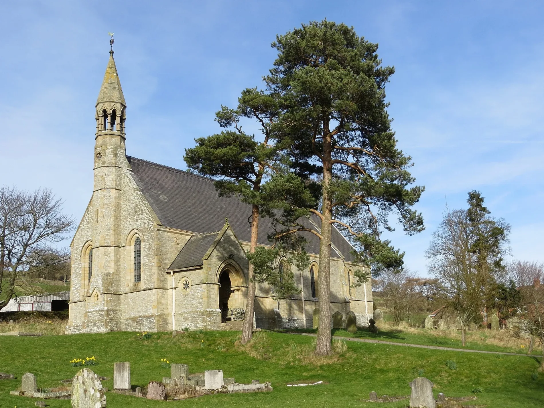
- Amenity
- place of worship
- Building Type
- church
- Website
- https://www.achurchnearyou.com/church/13622/
Hofläden
Tourist information offices
Roads nearby
St Andrew's PlaceSt. Andrews Place
100 m
BullfieldWestgate
200 m
Scutterthill Bank450 m
Crosslet Lane450 m
FP 1310000021 Stanhope Parish Westgate Ward450 m
Side Lane550 m
FP 1310000018 Stanhope Westgate Parish Ward650 m
FP 1310000016 Stanhope Parish Westgate WardWarden Hill
800 m
Seeingsike Road1,3 km
Abandoned railways nearby
Rookhope and Middlehope RailwayMiddlehope Shield Mine and washing floor, Middlehope Shield Plants that live on lead, Middlehope Shield Geology of the area
800 m
Body of waters nearby
Low Slitt Mine Pond1,1 km
Buildings nearby
Brownrigg Side450 m
Wooden Close450 m
Dale Head500 m
High Margery Dale550 m
Plantation House1,0 km
Caravan site nearby
Westgate Caravan Park and Camping Site600 m
Swinhopeburn Caravan Site700 m
Chapels nearby
Westgate Methodist Chapel400 m
Community centres nearby
Westgate Village Hall150 m
Farmyards nearby
Weeds Farm350 m
New Meadows1,2 km
Council Farm1,3 km
Forests nearby
Middle Windyside Plantation1,1 km
Swinhopeburn Wood1,2 km
Low Windyside Plantation1,3 km
Ley Plantation1,9 km
Guest house nearby
Lands Farm550 m
Hotels nearby
Westgate Manor150 m
Pubs nearby
Hare & Hounds150 m
Quarries nearby
West Rigg Mine and Opencut1,1 km
Heights Quarry1,5 km
Razed railways nearby
Scutterhill Incline550 m
Residential areas nearby
Weardale Holiday Home Park300 m
East Haswicks400 m
Field Stile Caravan Park600 m
Brotherlee Holiday Home Park1,6 km
Ruins nearby
Bouse teams1000 m
Streams nearby
Middlehope Burn600 m
Crooked Well850 m
Rawshaw Well1000 m
Barrasdale Sike1,2 km
Park Burn1,3 km
West End Well1,4 km
Swinhope Burn1,6 km
High House Well1,7 km
Seeing Sike1,7 km
Easter Well1,9 km
Valleies nearby
Middle Hope1,6 km
| Diocese | Diocese of Durham |
|---|---|
| Located in | Stanhope |
| Country | United Kingdom |
 Public transport map Stanhope Legend
| Railway | |
| Bus | |
| Tram |
 Cycling map Stanhope Legend
| Cycle path | |
| Cycle lane on road | |
| Cycling on bus lane | |
| Bicycle street | |
| Cyclists allowed | |
| Cyclists allowed, good surface | |
| No cycling | |
| Cobblestones |
| Long-distance cycle route | (depending on scale) | |
| Long-distance cycle route |
 Walking map Stanhope Legend
| Path |
| Long-distance hiking trail | (depending on scale) | |
| Long-distance hiking trail | ||
| No pedestrians |