
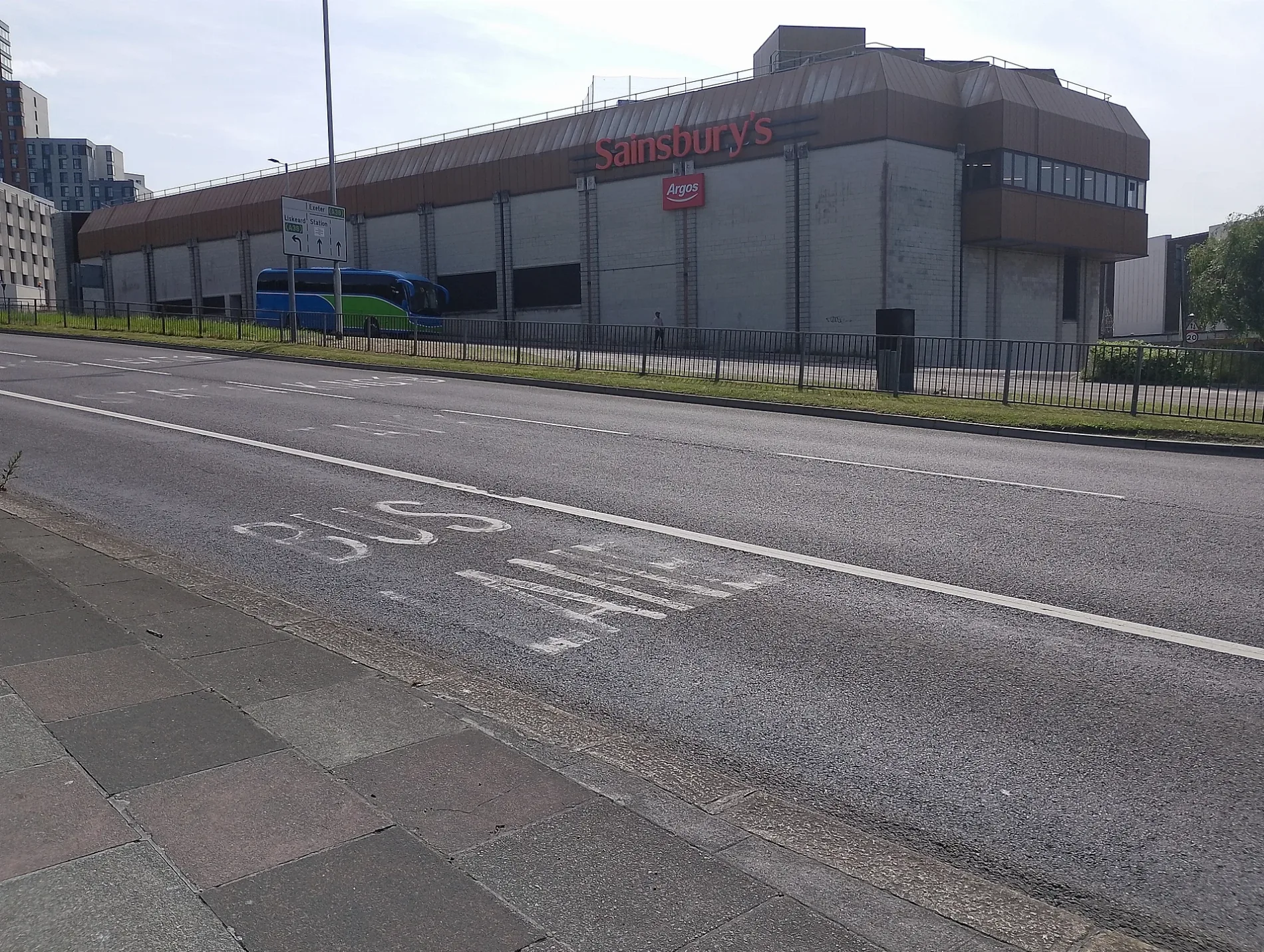
Armada Shopping Centre in Plymouth
Armada Shopping Centre in Plymouth is a shopping mall, Mayflower Street (PL1 1LE). Ⓦ.
- Postal Code
- PL1 1LE
- Street
- Mayflower Street
- Building Type
- retail building
- Shop
- shopping mall
Image
Restaurants
Post offices
Pawnbrokers
ATMs
Greengrocers
Seafood shops
Bus stops
Bakeries
Hairdressers
Florist's
Jewellers
Cafés
Clothing shops
Pubs
Ticket shops
Fishing shops
Variety stores
Roads nearby
Cambridge Lane West100 m
Oxford Place150 m
Tracey Court150 m
Hastings Terrace200 m
Oxford Street200 m
Eton Place200 m
Eton Street200 m
Penrose Street West200 m
Gloucester Place250 m
Penrose Street250 m
Eton Avenue300 m
Sydney Street300 m
Boon's Place300 m
Claremont Street300 m
North Road EastEvelyn Place, James Street, North Road East
350 m
North Road West350 m
Saltash RoadHMS Drake, Day Lewis Pharmacy, The Royal Navy Arms, Fleet Street, Ocean Street, Wombwell Crescent, North Cross Park & Ride, Railway Station, British Transport Police, St Levan Gate, Goschen Centre, Saltash Road, Johnstone Terrace
350 m
Ilbert Street400 m
Staddon Terrace Lane400 m
Bayswater Road400 m
Caprera Place400 m
Pennycomequick HillPennycomequick
450 m
Caprera Terrace Lane450 m
Central Park AvenueIsambard Kingdom Brunel
550 m
Russell Place550 m
Railways nearby
Plymouth Signal Box450 m
Shops nearby
Speedy Hire Centre450 m
Apartment buildings nearby
Aspire House (Student Flats)100 m
Morley Court150 m
Buildings nearby
Caprera Terrace Substation400 m
Cafés nearby
Café Local500 m
Car parks nearby
Armada Centre150 m
Charity shops nearby
Barnardo's100 m
Clothing shops nearby
Peacocks150 m
Plymouth Fancy Dress150 m
Confectioneries nearby
So Sweet American Candy Store150 m
Doctor's practice nearby
Armada Surgery150 m
North Road West Medical Centre300 m
Frozen food shops nearby
Iceland100 m
Guest house nearby
Caprera Guest House400 m
Hotels nearby
Copthorne Hotel Plymouth200 m
Newsagent's nearby
WHSmith500 m
Pubs nearby
The Newmarket Tavern150 m
Railway lines nearby
South Devon Main Line450 m
Railway stations nearby
Plymouth Railway Station500 m
Supermarkets nearby
Sainsbury's100 m
University buildings nearby
InterCity Place450 m
Emdeck / MDEC Building500 m
Variety stores nearby
Wilko100 m
| Located in | City of Plymouth |
|---|---|
| Country | United Kingdom |
 Public transport map Plymouth Legend
| Railway | |
| Bus | |
| Tram |
 Cycling map Plymouth Legend
| Cycle path | |
| Cycle lane on road | |
| Cycling on bus lane | |
| Bicycle street | |
| Cyclists allowed | |
| Cyclists allowed, good surface | |
| No cycling | |
| Cobblestones |
| Long-distance cycle route | (depending on scale) | |
| Long-distance cycle route |
 Walking map Plymouth Legend
| Path |
| Long-distance hiking trail | (depending on scale) | |
| Long-distance hiking trail | ||
| No pedestrians |