
Cornish Main Line in Saltash
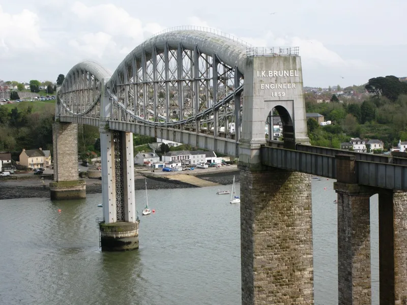
Cornish Main Line in England, Saltash is a railway line (Network Rail, line number MLN2, 1435 mm, main line). The train routes PAD–PNZ and PNZ–PAD run along this road. Cornish Main Line also exists in Plymouth, Truro, St. Clement, St. Austell Bay and St. Austell. Ⓦ.
- Speed Limit
- 70 mph
- Operator
- Network Rail
Bus stops
Roads nearby
Fayre View850 m
Castle Hill1,3 km
Longlands Lane1,4 km
Trevollard Lane1,6 km
Meadowsweet Park1,6 km
Barker's Hill1,6 km
Rye Hill1,7 km
Rowan Court1,7 km
Down Close1,7 km
Tannery Court1,7 km
St Stephen's Hill1,7 km
Nancarrows1,7 km
Fairmead Road1,7 km
Linnet Court1,7 km
Two Hills Park1,7 km
Hewitt Close1,7 km
Carnoustie Drive1,8 km
Quay Lane1,8 km
Birkdale Close1,8 km
Hawks Park1,8 km
The Speares1,8 km
Middlefleld Close1,8 km
Fairway1,8 km
Edwards Crescent1,8 km
Carrisbrooke Way1,8 km
Castle Court1,8 km
Spire Hill Park1,9 km
Ashburgh Parc1,9 km
Yellow Tor Court1,9 km
Tower Court1,9 km
Yellow Tor Road1,9 km
Milch Park1,9 km
The Hedgerows1,9 km
The Court1,9 km
Sycamore Road1,9 km
Gallacher Way1,9 km
The Keep1,9 km
Foxglove Way1,9 km
Forsythia Drive1,9 km
Abandoned railways nearby
Saltash to St Germans Line750 m
Body of waters nearby
Forder Lake Mill Pond1,3 km
Antony Passage Harbour1,3 km
Buildings nearby
Ince Castle850 m
Higher Lodge1,1 km
Trematon Castle1,2 km
Community centres nearby
Forder Community Centre1,4 km
Military areas nearby
HMS Brecon1,6 km
Rivers nearby
River Lynher or St Germans River1,4 km
Streams nearby
Latchbrook Leat1,4 km
| Opening | 1867 |
|---|---|
| Length | 79.5 |
| Located in | Cornwall |
| Country | United Kingdom |
| Has part | Saltash to St Germans Line, Cornwall Loop, Main Line (Paddington to Penzance via Bath), Cornwall Loop Junction to St Germans, Main Line (Paddington to Penzance via Bath), St Germans to mileage change point east of Chacewater, Main Line (Paddington to Penzance via Bath), Mileage change point east of Chacewater to Penzance |
| Part of | National Rail |
Public transport map Saltash Legend
| Railway | |
| Bus | |
| Tram |
Cycling map Saltash Legend
| Cycle path | |
| Cycle lane on road | |
| Cycling on bus lane | |
| Bicycle street | |
| Cyclists allowed | |
| Cyclists allowed, good surface | |
| No cycling | |
| Cobblestones |
| Long-distance cycle route | (depending on scale) | |
| Long-distance cycle route |
Walking map Saltash Legend
| Path |
| Long-distance hiking trail | (depending on scale) | |
| Long-distance hiking trail | ||
| No pedestrians |