
Cornish Main Line in Truro
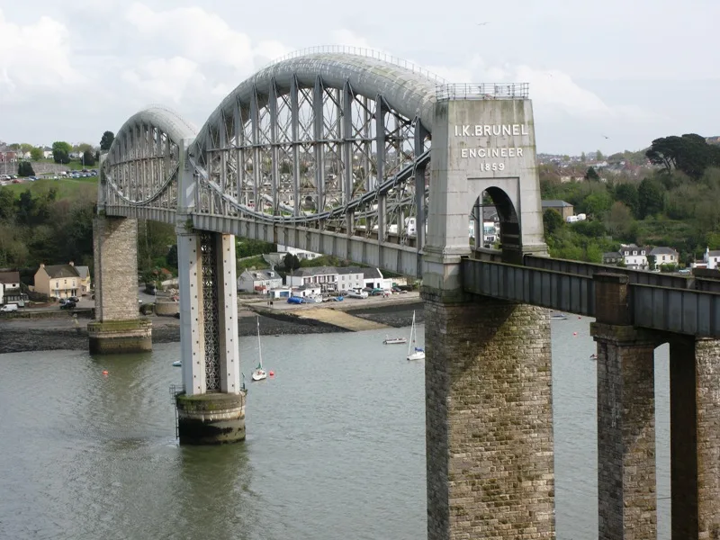
Cornish Main Line in England, Truro is a railway line (Network Rail, line number MLN3, 1435 mm, main line). The train routes PAD–PNZ, Truro to Falmouth (Maritime Line), PNZ–PAD, GWR: Falmouth Docks → Truro and GWR: Truro → Falmouth Docks run along this road. Cornish Main Line also exists in Plymouth, Saltash, St. Clement, St. Austell Bay and St. Austell. Ⓦ.
- Speed Limit
- 60 mph
- Operator
- Network Rail
Bus stops
Car repair shops
Petrol stations
Roads nearby
Penwethers Lane200 m
Treleaver Way250 m
Trethowan Heights350 m
Dudman Road350 m
Kerley Grove450 m
Pendrea Wood450 m
Kenna Park500 m
Kestle Drive500 m
Tre-el-verne Close500 m
Dobbs Lane500 m
Kirby Road500 m
Penwethers Crescent550 m
Townsend Street550 m
Albany Road550 m
Hayne Corfe Crescent600 m
Scholar Road600 m
Hayne Corfe Gardens600 m
Orchard Close650 m
Trevanion Court650 m
Richards Crescent650 m
Harcourt Close650 m
Church Lane650 m
Alma Road700 m
Penwerris Road700 m
Wayfarer Road700 m
Malabar Road750 m
Valley Close750 m
Cornish Crescent750 m
St Thomas Close750 m
Galland Road750 m
Behenna Drive750 m
Navigator Way750 m
Tresawls Road750 m
Carrine Road800 m
Valley View Drive800 m
Landerslee Drive800 m
Trevose Road850 m
Evea Close850 m
Trevean Road900 m
Abandoned railways nearby
Newham Branch Line200 m
Buildings nearby
All Saints Vicarage700 m
Commercial buildings nearby
Highertown Vets400 m
Convenience stores nearby
Malabar750 m
Industrial areas nearby
Kwik Fit / Hewden Hire350 m
Places of worship nearby
All Saints Church Highertown700 m
Railway lines nearby
The Maritime Line150 m
Residential areas nearby
Truro500 m
Rivers nearby
Calenick Creek300 m
Supermarkets nearby
The Food Warehouse500 m
| Opening | 1867 |
|---|---|
| Length | 79.5 |
| Located in | Cornwall |
| Country | United Kingdom |
| Has part | Saltash to St Germans Line, Cornwall Loop, Main Line (Paddington to Penzance via Bath), Cornwall Loop Junction to St Germans, Main Line (Paddington to Penzance via Bath), St Germans to mileage change point east of Chacewater, Main Line (Paddington to Penzance via Bath), Mileage change point east of Chacewater to Penzance |
| Part of | National Rail |
Public transport map Truro Legend
| Railway | |
| Bus | |
| Tram |
Cycling map Truro Legend
| Cycle path | |
| Cycle lane on road | |
| Cycling on bus lane | |
| Bicycle street | |
| Cyclists allowed | |
| Cyclists allowed, good surface | |
| No cycling | |
| Cobblestones |
| Long-distance cycle route | (depending on scale) | |
| Long-distance cycle route |
Walking map Truro Legend
| Path |
| Long-distance hiking trail | (depending on scale) | |
| Long-distance hiking trail | ||
| No pedestrians |