
Fieldway in Fulford, Staffordshire
Fieldway in Fulford in Stafford is a residential street (private). It runs in a northeast-southwest direction and ends at Adamthwaite Drive, while the other end is a cul-de-sac. Fieldway also exists in Staffordshire Moorlands.
- Road Type
- residential street
- Route
- northeast-southwest
Image
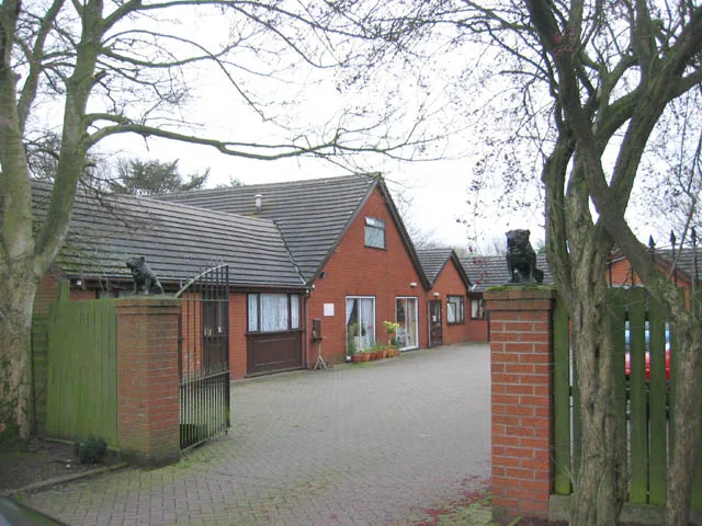
Bus stops
Roads nearby
Blythe Close50 m
Adamthwaite Drive150 m
Pine Court150 m
Adamthwaite Close150 m
Rowan Court150 m
Highfield Close150 m
Calverhay Close150 m
Willowcroft Rise200 m
Beech Court200 m
Mayfield Drive200 m
Villa Meltia200 m
Pinetree Drive250 m
Green Close300 m
Greenacres Avenue300 m
Portland Close350 m
Ash Grove400 m
Faceby Grove400 m
Ridgway Drive400 m
Pilsden Place450 m
Grindley LaneHilltop Crescent, Grange Road, Meir Heath, Creda Roundabout, Brammall Drive, Rexam Works, Whittle Road
450 m
Hargreave Close450 m
Grindley Roundabout450 m
Tissington Place500 m
Glaisher Drive500 m
Halifax Close550 m
Kestrel Avenue550 m
Freckleton Place550 m
William Avenue600 m
Farman Close600 m
Monyash Close600 m
Gosforth Grove600 m
Whittle RoadWestbridge Furniture
600 m
Farnborough Drive600 m
Mickleby Way600 m
Hermes Close600 m
Badger Grove650 m
Aldrin Close650 m
Blanchard Close650 m
Bleriot Close700 m
Farmyards nearby
Calverhay Farm250 m
Fast food restaurants nearby
McDonald's550 m
Garage complexes nearby
Adamthwaite Garages200 m
Garages nearby
Ridgeway Drive Garages250 m
Hotels nearby
The Weather Vane450 m
Railway lines nearby
Down Goods Loop500 m
Up Goods Loop500 m
Residential areas nearby
Meir Park500 m
Supermarkets nearby
Tesco650 m
Aldi650 m
 Public transport map Fulford Legend
| Railway | |
| Bus | |
| Tram |
 Cycling map Fulford Legend
| Cycle path | |
| Cycle lane on road | |
| Cycling on bus lane | |
| Bicycle street | |
| Cyclists allowed | |
| Cyclists allowed, good surface | |
| No cycling | |
| Cobblestones |
| Long-distance cycle route | (depending on scale) | |
| Long-distance cycle route |
 Walking map Fulford Legend
| Path |
| Long-distance hiking trail | (depending on scale) | |
| Long-distance hiking trail | ||
| No pedestrians |