
Buccleuch Road in Stoke-on-Trent
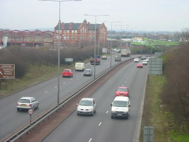
Buccleuch Road in Stoke-on-Trent is a residential street. It runs in a north-south direction starting from Wren View and crosses Queensberry Road and Chaplin Road and ends at Upper Belgrave Road.
- Road Type
- residential street
- Route
- north-south
Image
Petrol stations
Bus stops
Post offices
Electronics shops
Restaurants
Convenience stores
Car repair shops
Doctor's office
Hairdressers
Community centre
Fast food restaurants
Pubs
Pharmacy
Car washes
Chemist's
Roads nearby
Hamilton Road100 m
Argyll Road100 m
Furnace Road150 m
Rothesay Road200 m
Queensberry Road200 m
Normacot Road200 m
Lower Spring RoadTam O'Shanter Inn
250 m
Upper Normacot RoadPreject Pizza
250 m
Eversley Road300 m
Upper Belgrave Road300 m
Alhambra Court300 m
Bell Avenue350 m
Herbert Road350 m
Court No. 1350 m
Wingrove Avenue350 m
Watery Lane400 m
Pitsford Street Link Road400 m
New Hall Road400 m
Uttoxeter RoadBlythe Bridge Bypass Roundabout, Meir Tunnel, Broadway, Rainbow, Summer Shades Salon, Gladstone Pottery Museum, Johnsons Autos, St James' Church, Londis
400 m
Melville Road400 m
Reservoir Road400 m
Spring Road400 m
Ludwall RoadNormacot
450 m
Ainsdale Close450 m
Recreation Bridge450 m
Pitsford Street450 m
Recreation Road500 m
Ferndown Close500 m
Saltdean Close550 m
Chelmorton Drive550 m
Ramage Grove550 m
Frenchmore Grove550 m
Welsh Close550 m
Star and Garter Road650 m
Harlech Avenue650 m
Alanbrook Grove650 m
Amenities nearby
Westfield Nursery School200 m
Buildings nearby
Ace Taxis250 m
Tailored Floors500 m
Community centres nearby
Westfield Children's Centre100 m
Fire stations nearby
Longton Fire Station450 m
Parks nearby
Normacot Centernary Gardens400 m
Places of worship nearby
Gillani Noor Masjid250 m
Gillani Noor Mosque250 m
The Parish Church of the Holy Evangelists350 m
Newhall Christian Church450 m
Pubs nearby
New Florence350 m
Sports centres nearby
Florence Park500 m
Sports pitches nearby
Florence Sports & Social Crown Green Bowls Club450 m
 Public transport map Stoke-on-Trent Legend
| Railway | |
| Bus | |
| Tram |
 Cycling map Stoke-on-Trent Legend
| Cycle path | |
| Cycle lane on road | |
| Cycling on bus lane | |
| Bicycle street | |
| Cyclists allowed | |
| Cyclists allowed, good surface | |
| No cycling | |
| Cobblestones |
| Long-distance cycle route | (depending on scale) | |
| Long-distance cycle route |
 Walking map Stoke-on-Trent Legend
| Path |
| Long-distance hiking trail | (depending on scale) | |
| Long-distance hiking trail | ||
| No pedestrians |