
Ronald Street in Stoke-on-Trent
Ronald Street in Stoke-on-Trent is a residential street. It runs in an east-west direction starting from Trentham Road.
- Road Type
- residential street
- Route
- east-west
Image
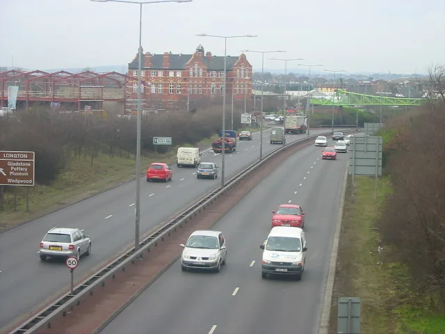
Fast food restaurants
Bus stops
Convenience stores
Post offices
Petrol stations
Hairdressers
Doctor's office
Restaurants
Community centre
Electronics shops
Pubs
Pharmacy
Car repair shops
Chemist's
Supermarkets
Museum
- Gladstone Pottery Museum (fee required, web) – approx. 650 m.
Roads nearby
Ronald Walk50 m
Howard Street100 m
Leveson Street100 m
Fern Place100 m
Howard Walk100 m
Olof Palme Grove100 m
Blantyre Street100 m
Battisson Crescent150 m
Alberta StreetAllied Pharmacy
150 m
Spratslade Drive150 m
Probyn Walk150 m
Brantyre Walk150 m
Kildare Street200 m
Belgrave Avenue250 m
Summer RowMotor Clinic
250 m
Belgrave RoadChina Garden, Eastern Delight, ESSO, Pisces Fish Bar
250 m
Cemetery Avenue300 m
Peel StreetSir Robert Peel, Salon couture
300 m
Wise StreetBelgrave Medical Centre, Millers Pharmacy, 6th Dresden Scouts & Community Hall
350 m
Russell Street350 m
Dilhorne Grove400 m
Villiers Street400 m
Bridle Path400 m
Beadnell Grove400 m
Brampton Walk450 m
Cobden Street450 m
Sutherland Avenue500 m
Red Bank500 m
Trentham RoadWingers, Spiceology, McColl's, The Gables, Trentham Road Pharmacy, Mayfield Surgery, Gold Lion Chinese Takeaway, Welcome to Queens Park, Longton, Park Public Toilets, Blurton - Trentham Road
500 m
Ricardo StreetPark Inn
500 m
Mercer Street550 m
Lansdowne Street550 m
Rugby Drive600 m
Rowland Street600 m
Cocknage Road600 m
Carlisle StreetDresden Convenience Store
650 m
Barnes Way650 m
Allotment gardens nearby
Cemetery Avenue Allotments400 m
Buildings nearby
Al-Hafiz Academy250 m
Cemeteries nearby
Garden of Remembrance250 m
Hotels nearby
The Crescent150 m
Industrial areas nearby
Motor Clinic250 m
Places of worship nearby
Bethel Church200 m
Orthodox Church of St. Michael, Dresden400 m
Recreation grounds nearby
Florence Tennis and Bowling Club300 m
Retail buildings nearby
PAK Foods350 m
Self-storages nearby
Store-safe150 m
Sports pitches nearby
Hem Heath/Florence Crown Green Bowls Club350 m
Florence Tennis and Bowls Club350 m
 Public transport map Stoke-on-Trent Legend
| Railway | |
| Bus | |
| Tram |
 Cycling map Stoke-on-Trent Legend
| Cycle path | |
| Cycle lane on road | |
| Cycling on bus lane | |
| Bicycle street | |
| Cyclists allowed | |
| Cyclists allowed, good surface | |
| No cycling | |
| Cobblestones |
| Long-distance cycle route | (depending on scale) | |
| Long-distance cycle route |
 Walking map Stoke-on-Trent Legend
| Path |
| Long-distance hiking trail | (depending on scale) | |
| Long-distance hiking trail | ||
| No pedestrians |