
Battisson Crescent in Stoke-on-Trent
Battisson Crescent in Stoke-on-Trent is a residential street (permissive).
- Road Type
- residential street
Image
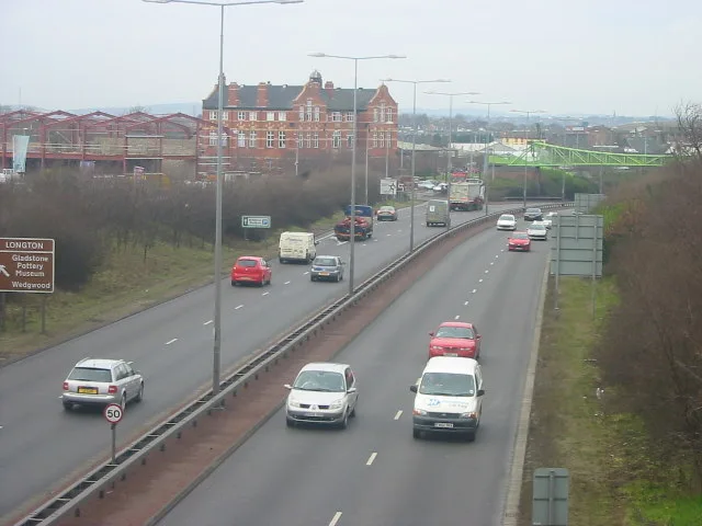
Pharmacy
Bus stops
Supermarkets
Community centre
Electronics shops
Hairdresser's
Doctor's office
Car repair shops
Restaurants
Museum
- Gladstone Pottery Museum (fee required, web) – approx. 600 m.
Pub
Fast food restaurants
Chemist's
Convenience stores
Variety stores
Roads nearby
Fern Place50 m
Alberta StreetAllied Pharmacy
100 m
Ronald Street150 m
Leveson Street150 m
Spratslade Drive150 m
Howard Street150 m
Ronald Walk150 m
Summer RowMotor Clinic
150 m
Blantyre Street200 m
Probyn Walk250 m
Spring Garden Road250 m
Cliveden Place250 m
Kildare Street250 m
Trentham RoadWingers, Spiceology, McColl's, The Gables, Trentham Road Pharmacy, Mayfield Surgery, Gold Lion Chinese Takeaway, Welcome to Queens Park, Longton, Park Public Toilets, Blurton - Trentham Road
250 m
Belgrave Avenue250 m
Farmer Street250 m
Rosslyn Road250 m
Lightwood RoadSoap Shine, Mr Tyre Longton, The Dunrobin
300 m
Lightwood Bridge300 m
Cartwright Street350 m
Springfield Crescent350 m
Ayshford Street400 m
Bennion Street400 m
Willow RowLidl
450 m
Clayton Street450 m
Normacot Road450 m
Commerce StreetSam Clarke
450 m
Edensor Road500 m
Edersor Bridge500 m
Millbank Street550 m
Berry Lane600 m
Barford Street650 m
Brownfields nearby
John Tams550 m
Buildings nearby
Al-Hafiz Academy200 m
Paterson Brodie200 m
Chesworths Solicitors200 m
Longton Glass450 m
Longton Telephone Exchange450 m
Cemeteries nearby
Garden of Remembrance150 m
Frozen food shops nearby
Farmfoods550 m
Hotel nearby
The Crescent50 m
Industrial areas nearby
Motor Clinic150 m
Edensor Works500 m
Industrial buildings nearby
Commerce Works Bottle Kiln550 m
Office buildings nearby
The Sutherland Institute250 m
Pubs nearby
Gardeners Rest200 m
Self-storages nearby
Store-safe50 m
Sports shops nearby
Sports Direct600 m
Variety stores nearby
B&M550 m
 Public transport map Stoke-on-Trent Legend
 | Railway | |
| Bus | |
| Tram |
 Cycling map Stoke-on-Trent Legend
 | Cycle path | |
| Cycle lane on road | |
| Cycling on bus lane | |
| Bicycle street | |
| Cyclists allowed | |
| Cyclists allowed, good surface | |
| No cycling | |
| Cobblestones |
| Long-distance cycle route | (depending on scale) | |
| Long-distance cycle route |
 Walking map Stoke-on-Trent Legend
 | Path |
| Long-distance hiking trail | (depending on scale) | |
| Long-distance hiking trail | ||
| No pedestrians |