
Farmer Street in Stoke-on-Trent
Farmer Street in Stoke-on-Trent is a residential street. It runs in an east-west direction and crosses Cliveden Place. It ends in a cul-de-sac.
- Road Type
- residential street
- Route
- east-west
Image
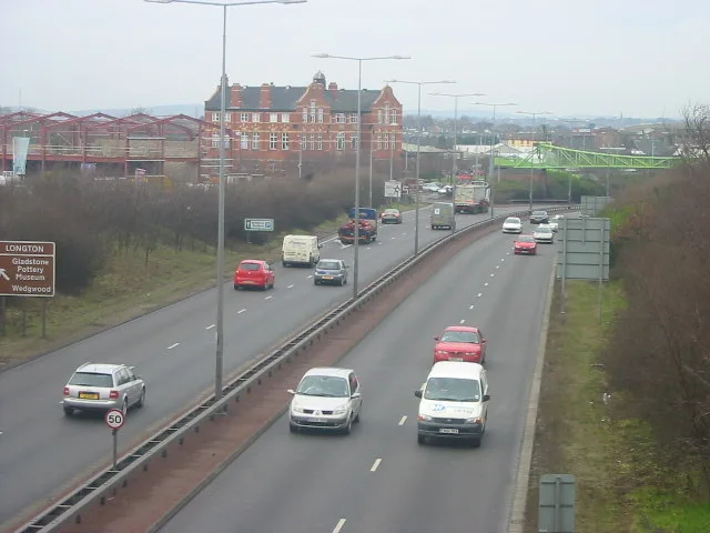
Fast food restaurants
Gift shops
Museum
- Gladstone Pottery Museum (fee required, web) – approx. 400 m.
Frozen food shops
Marketplaces
Hairdressers
Bus stops
Chemist's
Supermarkets
Variety stores
Electronics shops
Doctor's office
Pharmacy
Pubs
Car repair shops
Restaurants
Convenience stores
Roads nearby
Trentham RoadWingers, Spiceology, McColl's, The Gables, Trentham Road Pharmacy, Mayfield Surgery, Gold Lion Chinese Takeaway, Welcome to Queens Park, Longton, Park Public Toilets, Blurton - Trentham Road
50 m
Spring Garden Road50 m
Cliveden Place100 m
Summer RowMotor Clinic
100 m
Lightwood RoadSoap Shine, Mr Tyre Longton, The Dunrobin
150 m
Rosslyn Road150 m
Cartwright Street150 m
Lightwood Bridge150 m
Bennion Street200 m
Alberta StreetAllied Pharmacy
200 m
Normacot Road250 m
Commerce StreetSam Clarke
250 m
Ayshford Street250 m
Battisson Crescent250 m
Clayton Street250 m
Leveson Street300 m
Fern Place300 m
Millbank Street300 m
Ronald Street300 m
Ronald Walk350 m
Willow RowLidl
350 m
Edensor Road350 m
Edersor Bridge350 m
Howard Street350 m
Berry Lane350 m
Spratslade Drive400 m
Springfield Crescent400 m
Blantyre Street400 m
Probyn Walk450 m
Barford Street450 m
Kildare Street450 m
Belgrave Avenue450 m
Brownfields nearby
John Tams300 m
Buildings nearby
Chesworths Solicitors100 m
Paterson Brodie100 m
Al-Hafiz Academy150 m
Longton Glass200 m
Longton Telephone Exchange250 m
Cemeteries nearby
Garden of Remembrance150 m
Frozen food shops nearby
Farmfoods400 m
Hotels nearby
The Crescent250 m
Industrial areas nearby
Motor Clinic100 m
Edensor Works400 m
Industrial buildings nearby
Commerce Works Bottle Kiln350 m
Office buildings nearby
The Sutherland Institute150 m
Pubs nearby
Gardeners Rest50 m
Self-storages nearby
Store-safe250 m
Sports shops nearby
Sports Direct450 m
Variety stores nearby
B&M350 m
 Public transport map Stoke-on-Trent Legend
| Railway | |
| Bus | |
| Tram |
 Cycling map Stoke-on-Trent Legend
| Cycle path | |
| Cycle lane on road | |
| Cycling on bus lane | |
| Bicycle street | |
| Cyclists allowed | |
| Cyclists allowed, good surface | |
| No cycling | |
| Cobblestones |
| Long-distance cycle route | (depending on scale) | |
| Long-distance cycle route |
 Walking map Stoke-on-Trent Legend
| Path |
| Long-distance hiking trail | (depending on scale) | |
| Long-distance hiking trail | ||
| No pedestrians |