
Claydon Court in Haverhill
Claydon Court in Haverhill in West Suffolk is a residential street and it runs in a southeast-northwest direction and ends at Beavis Drive, while the other end is a cul-de-sac.
- Road Type
- residential street
- Postal Code
- CB9 7JT
- Route
- southeast-northwest
Image
Bus stops
Roads nearby
Beavis Drive100 m
Farm Road150 m
Orbell Avenue150 m
Ann Suckling Road150 m
Shipp Close150 m
Boyton Meadows150 m
Saxon Crescent150 m
Boyton Close200 m
Webb Close200 m
Haverhill Road250 m
Amey Close250 m
Gilder Walk250 m
Roberts Drive250 m
Suffolk Regiment Way300 m
Hill Crescent300 m
Farrant Road300 m
Cross Close300 m
Quinn Close300 m
Blenheim Close350 m
Rogers Road350 m
Rowell Close350 m
Jobson Road350 m
Kenny Drive350 m
Covert Close400 m
Wratting RoadAnn Suckling Road, Millfields Way
400 m
Churchill Avenue400 m
Bladon Way400 m
Falconer Road400 m
Goldings Close400 m
Brothers Drive450 m
Falklands RoadGoldings Close
450 m
Copellis Close450 m
Fryth Close450 m
Willis Drive450 m
Abbots Road500 m
Sumpter Drive500 m
Chase Close500 m
Gurlings Close500 m
Abbotts Road550 m
Lancelott Road550 m
Chalkstone WaySamuel Ward School, Shetland Road, Kingfisher Close, Tasman Road, Tasman Close, Primary School, Deben Road, Underpass, Mildenhall Place
600 m
Corlett Way600 m
The Glebe600 m
Gurteen Avenue650 m
Trinity Link650 m
Chapple Drive650 m
Alde Road650 m
Ashard drive700 m
Pubs nearby
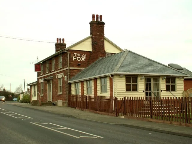
The Fox (derelict pub)350 m
Public transport map Haverhill Legend
| Railway | |
| Bus | |
| Tram |
Cycling map Haverhill Legend
| Cycle path | |
| Cycle lane on road | |
| Cycling on bus lane | |
| Bicycle street | |
| Cyclists allowed | |
| Cyclists allowed, good surface | |
| No cycling | |
| Cobblestones |
| Long-distance cycle route | (depending on scale) | |
| Long-distance cycle route |
Walking map Haverhill Legend
| Path |
| Long-distance hiking trail | (depending on scale) | |
| Long-distance hiking trail | ||
| No pedestrians |