
Gurteen Avenue in Haverhill
Gurteen Avenue in Haverhill in West Suffolk is a residential street. It runs in a north-south direction and crosses Ashard drive. It connects Haverhill and Little Wratting.
- Road Type
- residential street
- Speed Limit
- 30 mph
- Route
- north-south
Image
Fast food restaurants
Bus stops
Roads nearby
Ashard drive100 m
Willis Drive150 m
Falconer Road250 m
Gilder Walk400 m
Amey Close500 m
Webb Close500 m
Shipp Close500 m
Beavis Drive550 m
Suffolk Regiment Way550 m
Orbell Avenue550 m
Claydon Court600 m
Hill Top Barns600 m
Farm Road700 m
Blenheim Close700 m
Saxon Crescent700 m
Haverhill RoadThe Fox
700 m
Boyton Close750 m
Ann Suckling Road750 m
Boyton Meadows750 m
Hill Crescent750 m
Farrant Road800 m
Jobson Road800 m
Bladon Way800 m
Roberts Drive800 m
Poole Close800 m
Rogers Road850 m
Churchill Avenue850 m
Wratting RoadAnn Suckling Road, Millfields Way
850 m
Quinn Close850 m
Covert Close900 m
Cross Close900 m
Donovan Way900 m
Archer Way900 m
Rowell Close900 m
Kenny Drive950 m
Brothers Drive950 m
Taylor Drive1000 m
Abbots Road1000 m
Walters Drive1000 m
Chisnell Road1000 m
Chalkstone WayShetland Road, Kingfisher Close, Tasman Road, Tasman Close, Primary School, Deben Road, Samuel Ward School, Underpass, Mildenhall Place
1,0 km
Chelmer Road1,0 km
Bourne Road1,0 km
Deben Road1,1 km
Alde Road1,1 km
Falcon Close1,1 km
Churches nearby
school chapel650 m
Pubs nearby
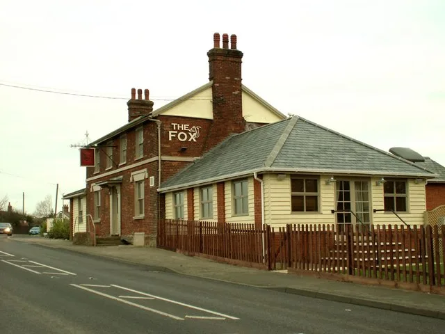
The Fox (derelict pub)300 m
Sports pitches nearby
New Croft950 m
Public transport map Haverhill Legend
| Railway | |
| Bus | |
| Tram |
Cycling map Haverhill Legend
| Cycle path | |
| Cycle lane on road | |
| Cycling on bus lane | |
| Bicycle street | |
| Cyclists allowed | |
| Cyclists allowed, good surface | |
| No cycling | |
| Cobblestones |
| Long-distance cycle route | (depending on scale) | |
| Long-distance cycle route |
Walking map Haverhill Legend
| Path |
| Long-distance hiking trail | (depending on scale) | |
| Long-distance hiking trail | ||
| No pedestrians |