
Limekiln Lane in Little Wenlock
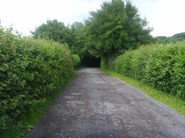
Limekiln Lane in Telford and Wrekin, Little Wenlock is a single-lane, gravelled minor road. It runs in a north-south direction starting from Holyhead Road and crosses Cherrytree Close, John Broad Avenue, Mount Gilbert, Barn Farm Drive and Bayley Road. It ends in a cul-de-sac and connects Wellington and Little Wenlock. This road is part of the hiking trail "Telford T50". Limekiln Lane also exists in Lilleshall.
- Road Type
- minor road
- Lanes
- 1
- Speed Limit
- 30 mph
- Route
- north-south
Image
Tourist information offices
Benches
Roads nearby
Birch Coppice500 m
Barn Farm Drive500 m
Mount Gilbert600 m
Elmwood Road650 m
Birchwood Close650 m
Valley Road650 m
Churchill Road700 m
Abbey Road700 m
Hayes Road700 m
Florence Close700 m
Cherrytree Close750 m
Bayley Road750 m
Hillside Close800 m
Festival Gardens800 m
Dawley RoadDawley Road, Char Char, Loco, T & M Parts & Tools
800 m
Golf Links Lane850 m
John Broad Avenue850 m
Forester Grove850 m
Wiseman Crescent850 m
Wellings Grove850 m
Arleston Manor DriveKetley Dingle Interchange
900 m
Griffin Drive900 m
Primrose Grove900 m
Toll Road950 m
Holyhead RoadBP, Red Lion, Subway, Nisa, Fantasy Castles, The Wickets Inn, Ercall Lane
950 m
Mary Lewis Close950 m
Manor Road950 m
Old Hall Gardens1000 m
Old Hall Close1000 m
New Works LaneNew Works
1,0 km
Kingsway Crescent1,0 km
KingslandPC Stop, Sidhu, Slick Cutz, The Vanity Room, Zee's Halal Meat
1,0 km
Arelston Village1,0 km
St Giles Close1,0 km
Stone Crescent1,0 km
Belmont court1,0 km
Charles Road1,1 km
Princess AvenueArleston
1,1 km
Chartwell Road1,1 km
Woollam Road1,1 km
Car dealerships nearby
A & P Motors950 m
Community centres nearby
Arleston Community Centre1,1 km
Convenience stores nearby
One Stop1,0 km
Fast food restaurants nearby
A1 Pizza and Kebab1,1 km
Pubs nearby
The Cock Hotel1,1 km
Recreation grounds nearby
John Broad Play Ground800 m
Residential areas nearby
Willowhouse1,0 km
Woodlands nearby
Limekiln Wood550 m
Short Wood550 m
Public transport map Little Wenlock Legend
| Railway | |
| Bus | |
| Tram |
Cycling map Little Wenlock Legend
| Cycle path | |
| Cycle lane on road | |
| Cycling on bus lane | |
| Bicycle street | |
| Cyclists allowed | |
| Cyclists allowed, good surface | |
| No cycling | |
| Cobblestones |
| Long-distance cycle route | (depending on scale) | |
| Long-distance cycle route |
Walking map Little Wenlock Legend
| Path |
| Long-distance hiking trail | (depending on scale) | |
| Long-distance hiking trail | ||
| No pedestrians |