
The Crescent in Brinklow
The Crescent in Brinklow CP in Rugby is an asphalted residential street. It runs in a northeast-southwest direction and crosses Ell Lane, Lutterworth Road and Broad Street. It ends in a cul-de-sac and is a footpath from Ell Lane and not passable by car. This road is part of the hiking trails A Coventry Way, ACW Circular Walk 12A (short-cut for C12), ACW Circular Walk 12S and ACW Circular Walk 12B. In the vicinity, there is a public bookcase. The nearest bus stop in the vicinity is White Lion (approx. 300 m away). The Crescent also exists in Long Lawford.
- Road Type
- secondary road
- Speed Limit
- 30 mph
- Route
- northeast-southwest
Image
Public bookcases
Roads nearby
Town Yard150 m
Hall Grove150 m
Broad StreetWhite Lion, Post Office, Brinklow House, Brinklow Fish Bar, Brinklow Post Office, Brinklow Village Sign
200 m
Barr Lane200 m
Butchers Close400 m
Ell Lane450 m
Brinklow Road450 m
Coventry RoadGreat Balance, Bulls Head
550 m
Brays Close550 m
Potters Close550 m
Rugby Road200 Years of Rugby
600 m
Dun Cow Close600 m
Yew Tree HillBrinklow Information and Swap Point
600 m
Cathiron Lane600 m
Fosse Way600 m
Rooks Nest650 m
Colledge Close700 m
George Birch Close700 m
Poppy Close700 m
Great Balance800 m
Skipwith Close800 m
Green Lane850 m
Percy Close900 m
A Coventry Way900 m
Lutterworth RoadWharf
1,0 km
Pedlar's Bridge1,2 km
Smeaton LanePeter Hall Lane
1,3 km
Heath Lane1,3 km
Tutbury Lane1,6 km
Boatyards nearby
Rose Boatyard1,1 km
Buildings nearby
Scout Hut300 m
Brinklow Community Hall350 m
Canals nearby
Oxford Canal950 m
Commercial areas nearby
Stretton Stop1,1 km
Derelict canals nearby
Oxford Canal Brinklow Arm450 m
Doctor's practice nearby
Revel Surgery250 m
Farmyards nearby
The Farm450 m
Brierleys Farm550 m
Goodes Farm950 m
Abbey Hall Farm1,4 km
Cottage Farm1,5 km
Parks nearby
Brinklow Playing Field350 m
Places of worship nearby
St John the Baptist50 m
Brinklow URC450 m
Pubs nearby
The Raven150 m
The Bulls Head500 m
Railway lines nearby
Trent Valley Line1,4 km
Streams nearby
Smite Brook1000 m
Viewpoint nearby
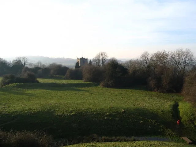
Brinklow Castle300 m
 Public transport map Brinklow CP Legend
| Railway | |
| Bus | |
| Tram |
 Cycling map Brinklow CP Legend
| Cycle path | |
| Cycle lane on road | |
| Cycling on bus lane | |
| Bicycle street | |
| Cyclists allowed | |
| Cyclists allowed, good surface | |
| No cycling | |
| Cobblestones |
| Long-distance cycle route | (depending on scale) | |
| Long-distance cycle route |
 Walking map Brinklow CP Legend
| Path |
| Long-distance hiking trail | (depending on scale) | |
| Long-distance hiking trail | ||
| No pedestrians |