
Wharf Road Bridge in Newbury, Berkshire
Wharf Road Bridge in West Berkshire, Newbury is a single-lane, asphalted, lit minor road. It runs in a north-south direction starting from Wharf Road and ends at Wharf Road. In the vicinity, there is a vending machine. The nearest bus stop in the vicinity is Newbury Wharf (approx. 100 m away).
- Road Type
- minor road
- Lanes
- 1
- Speed Limit
- 20 mph
- Route
- north-south
Image
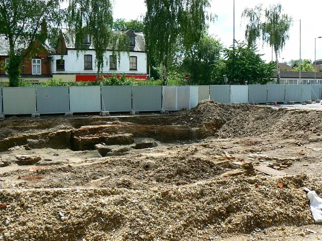
Vending machines
Roads nearby
Wharf RoadNewbury Wharf
50 m
Wharf StreetThe Wharf
150 m
Bay A150 m
Bay BNewbury Wharf
150 m
Bay CNewbury Wharf
200 m
Bay DNewbury Wharf
200 m
Bay ENewbury Wharf
200 m
Bay FNewbury Wharf
200 m
Bear LaneNewbury Delivery Office
250 m
Kings Road300 m
Kings Road Roundabout300 m
Mill Lane300 m
Faraday RoadSubaru 4 You, Greggs
300 m
Connaught Road400 m
King's Road (West)400 m
Carnegie Road400 m
Denmark Road400 m
Winchcombe Road400 m
Windsor Court450 m
Hectors Way450 m
Ashton Road450 m
Cheap StreetCheap Street, Old Post Office, Cheap Street (Opp), NUX
500 m
Gordon Road550 m
Jubilee Road600 m
Body of waters nearby
Victoria Park Boating Pond100 m
Buildings nearby
Bowls Club House100 m
Newbury Canoe Club200 m
Newbury Weekly News250 m
Gamma Telecom350 m
WBTC450 m
Cafés nearby
Teashop By The Canal100 m
Charity shops nearby
RSPCA400 m
Dry cleaner's nearby
Johnsons250 m
Specialist dry cleaners450 m
Fast food restaurants nearby
KFC250 m
lotus garden450 m
mr india450 m
Garden centres nearby
Mole Country Stores600 m
Hairdresser's nearby
Super Star Hair Stylists400 m
bravo400 m
Libraries nearby
Newbury Library150 m
Museum nearby
West Berkshire Museum150 m
Police stations nearby
Newbury Police Station250 m
Pubs nearby
The King Charles Tavern400 m
Railway lines nearby
Reading to Taunton line550 m
Restaurants nearby
Indian Lounge400 m
Self-storages nearby
Cinch Storage200 m
Supermarkets nearby
Sainsbury's450 m
Water parks nearby
Splash Park150 m
 Public transport map Newbury Legend
| Railway | |
| Bus | |
| Tram |
 Cycling map Newbury Legend
| Cycle path | |
| Cycle lane on road | |
| Cycling on bus lane | |
| Bicycle street | |
| Cyclists allowed | |
| Cyclists allowed, good surface | |
| No cycling | |
| Cobblestones |
| Long-distance cycle route | (depending on scale) | |
| Long-distance cycle route |
 Walking map Newbury Legend
| Path |
| Long-distance hiking trail | (depending on scale) | |
| Long-distance hiking trail | ||
| No pedestrians |