
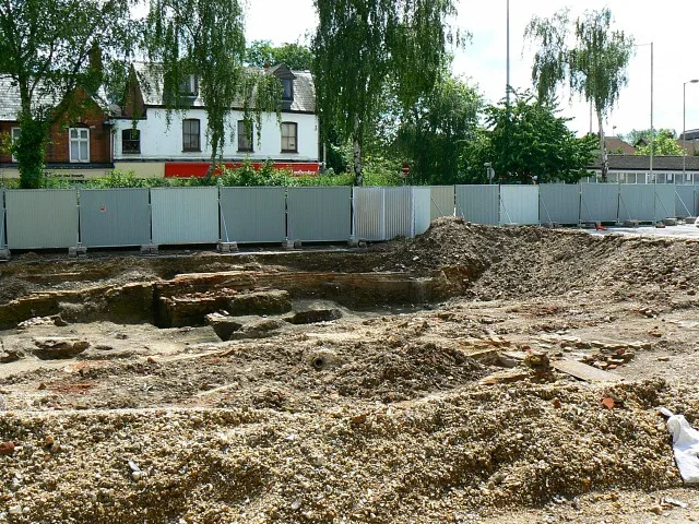
Wharf Road in Newbury, Berkshire
Wharf Road in West Berkshire, Newbury is a two-lane, asphalted minor road. The road has partly sidewalks (asphalt). There is a parking ban. There is no cycle path. It runs in a north-south direction starting from Wharf Road Bridge and crosses Wharf Street and ends at Bear Lane. The nearest stop is Newbury Wharf. The bus lines 1, 1A, 1C, 1E, 2, 4, 4a, 5, 5A, 6, 6a, 7, 7A, 8, 9, 32, X20 and X34 serve this stop. Wharf Road also exists in Hertfordshire, Warwickshire, Cornwall, Surrey and Oxfordshire.
- Road Type
- minor road
- Lanes
- 2
- Speed Limit
- 20 mph
- Route
- north-south
Image
Bus stops
- bus lines 1, 1A, 1C, 1E, 2, 4, 4a, 5, 5A, 6, 6a, 7, 7A, 8, 9, 32, X20, X34
Roads nearby
Bear LaneNewbury Delivery Office
100 m
Bay FNewbury Wharf
100 m
Bay ENewbury Wharf
100 m
Bay DNewbury Wharf
100 m
Wharf StreetThe Wharf
100 m
Bay CNewbury Wharf
100 m
Bay BNewbury Wharf
100 m
Bay A100 m
Kings Road Roundabout100 m
Kings Road150 m
Mill Lane200 m
King's Road (West)200 m
Wharf Road BridgeDuck Feeder
200 m
Carnegie Road200 m
Winchcombe Road250 m
Cheap StreetCheap Street, Old Post Office, Cheap Street (Opp), NUX
300 m
Denmark Road300 m
Connaught Road350 m
Hectors Way350 m
Ashton Road400 m
Windsor Court400 m
Gordon Road450 m
Faraday RoadSubaru 4 You, Greggs
450 m
Jubilee Road450 m
Body of waters nearby
Victoria Park Boating Pond250 m
Buildings nearby
Newbury Canoe Club150 m
Gamma Telecom200 m
WBTC300 m
Bowls Club House300 m
Newbury Weekly News400 m
Cafés nearby
Teashop By The Canal150 m
Charity shops nearby
RSPCA200 m
Dry cleaner's nearby
Johnsons50 m
Specialist dry cleaners250 m
Fast food restaurants nearby
KFC50 m
mr india250 m
lotus garden250 m
Garden centres nearby
Mole Country Stores450 m
Hairdresser's nearby
Super Star Hair Stylists200 m
bravo200 m
Libraries nearby
Newbury Library100 m
Museum nearby
West Berkshire Museum100 m
Police stations nearby
Newbury Police Station200 m
Pubs nearby
The King Charles Tavern200 m
Railway lines nearby
Reading to Taunton line400 m
Restaurants nearby
Indian Lounge200 m
Self-storages nearby
Cinch Storage250 m
Supermarkets nearby
Sainsbury's300 m
Water parks nearby
Splash Park300 m
 Public transport map Newbury Legend
| Railway | |
| Bus | |
| Tram |
 Cycling map Newbury Legend
| Cycle path | |
| Cycle lane on road | |
| Cycling on bus lane | |
| Bicycle street | |
| Cyclists allowed | |
| Cyclists allowed, good surface | |
| No cycling | |
| Cobblestones |
| Long-distance cycle route | (depending on scale) | |
| Long-distance cycle route |
 Walking map Newbury Legend
| Path |
| Long-distance hiking trail | (depending on scale) | |
| Long-distance hiking trail | ||
| No pedestrians |