
Cats Causeway in Metropolitan Borough of Dudley
Cats Causeway in Dudley is a pedestrian zone (private). It crosses Aviary Avenue and Mammouth Walk and ends at Pride Parade and comes from Curiosity Crescent. This road is part of the foot route "The Tecton Trail". In the vicinity, there is a kiosk. The nearest bus stop in the vicinity is DY6 The Broadway / Castle Hill (approx. 250 m away).
- Road Type
- pedestrian zone
Image
Kiosks
Roads nearby
Penguin ParadeSea Lion Kiosk, Face Painting, Ice Cream Kiosk
150 m
Gervase Drive150 m
Curiosity CrescentMADE Food
200 m
The BroadwayThe Broadway / Clent View Road, The Broadway / Burton Rd, The Broadway / Nith Place, The Broadway / Limepit Lane, The Broadway / Shenstone Avenue, The Broadway / Gig Mill School, The Broadway / Gigmill Way, The Broadway / Windsor Rd, The Broadway / Limes Rd, The Broadway / Priory Rd, Whittington Rd / Heath Farm Rd, Norton Post Office, Salon 2000, The Broadway / Whittington Road, DY6 The Broadway / Castle Hill, Gothic Gates, Medieval Tiles - Nave, Medieval Tiles
200 m
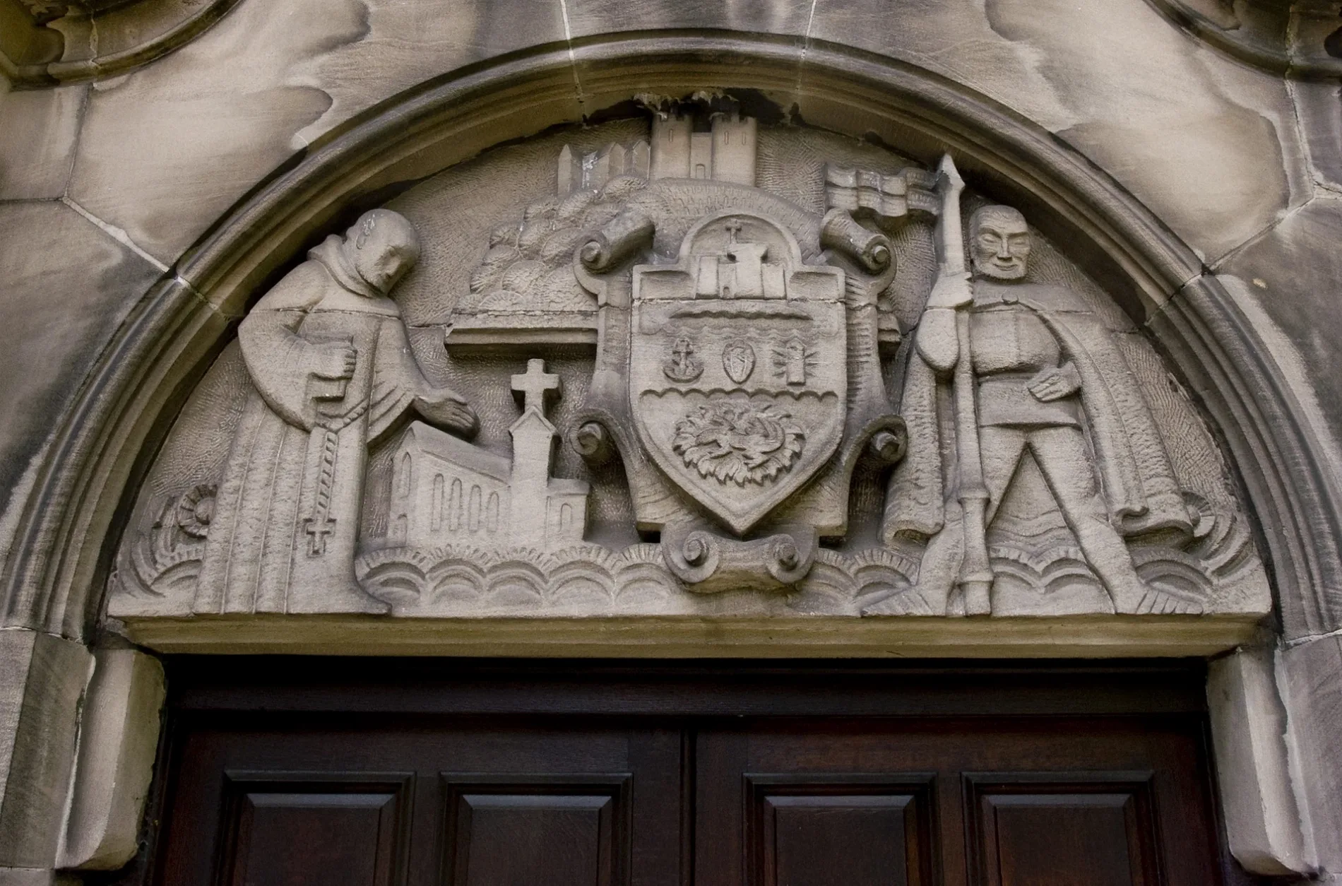
Paganel DriveStone Carving, Medieval Tiles - Chancel, Medieval Tiles - Chapter House, Medieval Tiles - Cloister, Medieval Tiles - Kitchen, Medieval Tiles - Sutton Chapel, Medieval Tiles - Tower, Medieval Tiles, Medieval Tiles-Dormitory
300 m
Priory RoadDY9, Priory Rd / Woodland Avenue, The Return of Dorothy Round, Priory Rd / King Arthur, Priory Rd / Mayfield Rd, Priory Rd / Hazel Rd, Priory Rd / Bluebell Rd
350 m
Attraction nearby
Priory Ruins250 m
Dudley Priory Ruins250 m
Body of waters nearby
Water Fowl100 m
Penguins150 m
Formal Pool300 m
Buildings nearby
Lynx50 m
Tecton100 m
Monkey House100 m
Giraffe House100 m
Discovery Center100 m
Face Painting150 m
Kookaburras150 m
Small Owls200 m
Animal Hospital200 m
Dudley College Aspire200 m
Sloths200 m
MADE Food200 m
Aviaries200 m
Priory House350 m
Priory Hall450 m
Priory Park Pavilion500 m
Colleges nearby
Priory Villa350 m
Gardens nearby
Rose Garden350 m
Grass nearby
Arctic Foxes100 m
Wolverine100 m
Heaths nearby
Capybaras & Mara100 m
Anteaters200 m
Parks nearby
Coronation Gardens250 m
Priory Park400 m
Residential buildings nearby
White House Cancer Support250 m
Sands nearby
Giraffes100 m
Monkeys150 m
Tapirs150 m
Scrublands nearby
Bushdogs50 m
Snow Leopards100 m
Sumatran Tigers100 m
Binturongs150 m
Parma Wallabies150 m
Barbary Sheep (Male)200 m
Cassowary200 m
Sloth200 m
Sports pitches nearby
Priory House Conservative300 m
Woodlands nearby
Red Panda100 m
 Public transport map Dudley Legend
| Railway | |
| Bus | |
| Tram |
 Cycling map Dudley Legend
| Cycle path | |
| Cycle lane on road | |
| Cycling on bus lane | |
| Bicycle street | |
| Cyclists allowed | |
| Cyclists allowed, good surface | |
| No cycling | |
| Cobblestones |
| Long-distance cycle route | (depending on scale) | |
| Long-distance cycle route |
 Walking map Dudley Legend
| Path |
| Long-distance hiking trail | (depending on scale) | |
| Long-distance hiking trail | ||
| No pedestrians |