
Mammouth Walk in Metropolitan Borough of Dudley
Mammouth Walk in Dudley is a pedestrian zone (private). It runs in a north-south direction and crosses Penguin Parade and Cats Causeway and ends at Pride Parade, while the other end is a cul-de-sac. This road is part of the foot route "The Tecton Trail". In the vicinity, you can find a café, an artwork, a viewpoint and a kiosk. The nearest stop in the vicinity is Dudley Castle & Zoo [2025 Q3] (approx. 250 m away).
- Road Type
- pedestrian zone
- Route
- north-south
Image
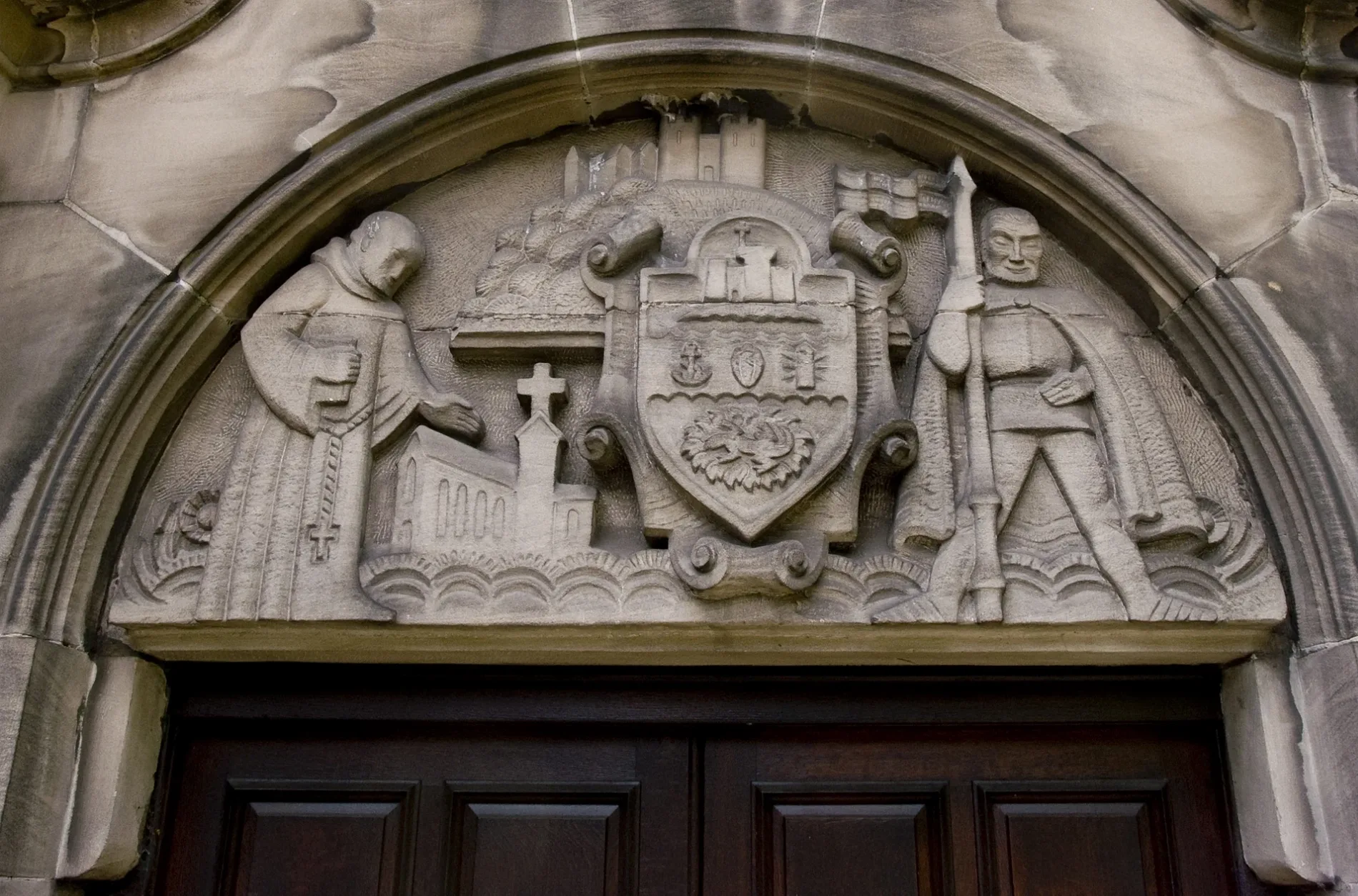
Cafés
Viewpoint
Roads nearby
Pride ParadePlight of the Orangutan
50 m
Wildlife WalkSafari Gift Shop, Watering Hole, Token Exchange, Candy Floss, Tiger Statue, Orangutan Statue
100 m
Snail Trail200 m
Trindle RoadTexaco, MDT M.O.T. Bay, MDP Used Car Sales, Spraywell Paints, Dudley Motor Company Vauxhall, Dudley Motor Company Van Center
300 m
Zoological DriveDudley Castle & Zoo [2025], Dudley Castle & Zoo [2025 Q3], Ice Cream Van, Giraffe Statue, Crocodile Statue
400 m
Discovery Way450 m
Tipton RoadTipton Rd / Setton Drive, Tipton Rd / Castle Gate, Tipton Rd / Black Country Museum, Tipton Rd / Tipton Cross Rds, Super Hand Car Wash, Britannia Pizza, Tipton Rd / Parkes Hall Rd, Tipton Rd / Parkes Lane, Tipton Rd / Woodsetton School, Tipton Rd / Marlborough Rd, Tipton Rd / High Arcal Drive
450 m
Beauty salons nearby
Unique Beauty250 m
Buildings nearby
Castle Creatures (Bats)50 m
Chair Lift Top100 m
Chair Lift Bottom150 m
Down on the farm150 m
Admissions and Exit200 m
Former Bear Ravine200 m
Tecton Aviary200 m
Lorikeet Lookout250 m
Lions250 m
Black Lemurs250 m
The Station Hotel300 m
Aspire Money350 m
Constructions nearby
University of Worcester Health Innovation Campus250 m
Midland Metro Line 2 (Dudley Castle & Zoo station)250 m
Midland Metro Line 2400 m
Fast food restaurants nearby
McDonald's400 m
Fitness centres nearby
Unique Fitness Ladies Gym250 m
Forests nearby
Orangutans150 m
Gift shops nearby
The Curiosity Shop250 m
Grass nearby
Flamingo Falls150 m
Howler Monkeys250 m
Heaths nearby
The Great Crested Newt Project50 m
Llamas and Emus150 m
Barbary Sheep (Female)150 m
Hotels nearby
Travelodge550 m
Libraries nearby
Dudley Archives and Local History Centre550 m
Light rail lines nearby
VLR Test Track300 m
Office buildings nearby
Office Options Group350 m
Playgrounds nearby
Rides100 m
Research institutes nearby
Very Light Rail National Innovation Centre250 m
Restaurants nearby
Harvester400 m
Sands nearby
Peccarie Pigs50 m
Reindeer100 m
Camels100 m
On the Farm200 m
School buildings nearby
Black Country & Marches Institute of Technology400 m
Scrublands nearby
Gibbons50 m
Gelada Baboons (Family Group)150 m
Lemur WoodLemur Wood, A leap of faith
250 m
Chimpanzees250 m
Zoo nearby
Dudley Zoo & Castle200 m
 Public transport map Dudley Legend
| Railway | |
| Bus | |
| Tram |
 Cycling map Dudley Legend
| Cycle path | |
| Cycle lane on road | |
| Cycling on bus lane | |
| Bicycle street | |
| Cyclists allowed | |
| Cyclists allowed, good surface | |
| No cycling | |
| Cobblestones |
| Long-distance cycle route | (depending on scale) | |
| Long-distance cycle route |
 Walking map Dudley Legend
| Path |
| Long-distance hiking trail | (depending on scale) | |
| Long-distance hiking trail | ||
| No pedestrians |