
Mary Stevens Park in Metropolitan Borough of Dudley
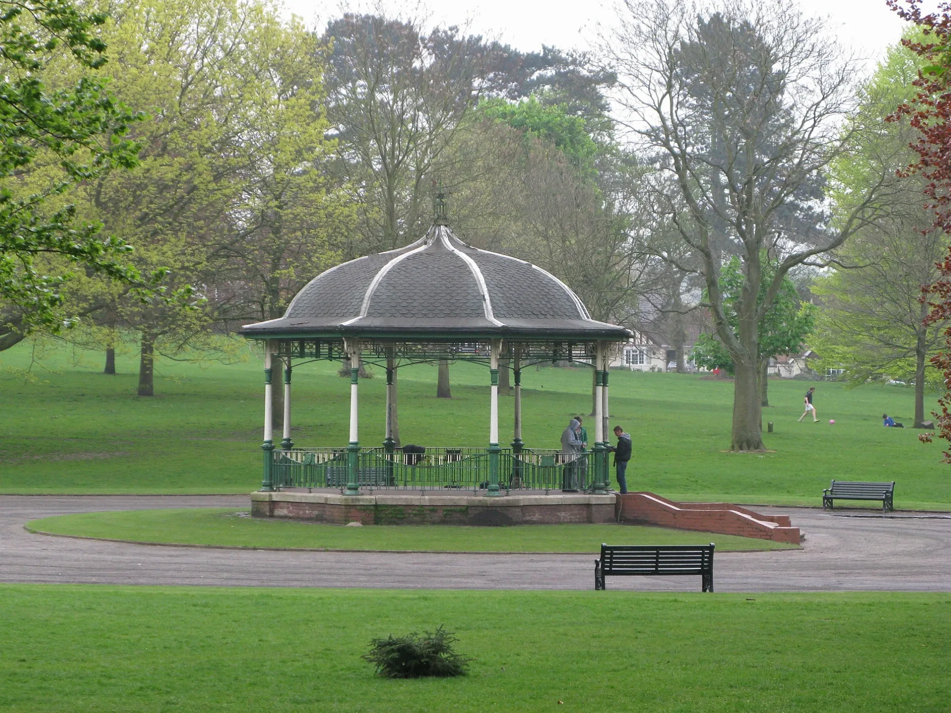
Mary Stevens Park in Dudley is a park. Mary Stevens Park is near Farlands Road. Ⓦ.
- Leisure
- park
Image
Pubs
Convenience stores
Cafés
Hairdressers
Antique shops
Bus stops
Furniture shops
Clothing shops
Fast food restaurants
Bicycle hires
Bookmakers
Off-licences
DIY stores
Roads nearby
Farlands Road150 m
Robin's Close200 m
Corser Street200 m
Mary Stevens Close250 m
Farlands Drive250 m
Foxfield Drive250 m
Stanley Road250 m
Gainsborough Hill250 m
Love LaneLove Lane / Oakleigh Road, Love Lane/Swinford Road
300 m
Lea Vale RoadLea Vale Rd / Albemarle Road
300 m
Oldfield Drive300 m
Craufurd Street300 m
Field Lane300 m
Joyberry Drive350 m
Pepper Hill350 m
Prospect RowProspect Row / The Barley Mow, Prospect Row / The Struggling Man, Prospect Row / Old Buffery Gardens
350 m
Heath LaneThe Plough & Harrow, Jessica David Bridal Wear, Oldswinford Cross, Oldswinford
350 m
Worcester StreetWorcester St / The Plough & Harrow, Worcester St / Hill St
350 m
Glen Road400 m
Hall StreetDudley Learning Centre, Sedgley Conservative Club, Town & Country Butchers
400 m
Linden Drive400 m
Baylie Street400 m
Eton Drive450 m
Winchester Drive450 m
Danford Close500 m
Pargeter Street550 m
Prospect Gardens550 m
Hanbury Hill550 m
Prospect Hill550 m
Bandstands nearby
Band stand200 m
Buildings nearby
Mary Stevens Park Activity Centre250 m
Dudley MBC Offices350 m
Baxter House400 m
Cafés nearby
No 92 Coffee Lounge300 m
Clothing shops nearby
Totally Uniform500 m
Cocorico500 m
Commercial buildings nearby
Swift Taxis450 m
Computer shops nearby
Yes Computers500 m
Dental practices nearby
Worcester Street Dental Practice450 m
Hairdresser's nearby
Oldswinford Hair Studio500 m
Patrick James500 m
Pharmacies nearby
Swinford Pharmacy500 m
Pubs nearby
Shrubbery Cottage350 m
Old White Horse450 m
Recreation grounds nearby
Swinford Common450 m
Restaurants nearby
Dilshad500 m
School buildings nearby
Dudley House300 m
Prospect House450 m
Sports pitches nearby
Mary Stevens Park Crown Green Bowls Club350 m
| Inception | 1931 |
|---|---|
| Located in | Dudley |
| Country | United Kingdom |
 Public transport map Dudley Legend
| Railway | |
| Bus | |
| Tram |
 Cycling map Dudley Legend
| Cycle path | |
| Cycle lane on road | |
| Cycling on bus lane | |
| Bicycle street | |
| Cyclists allowed | |
| Cyclists allowed, good surface | |
| No cycling | |
| Cobblestones |
| Long-distance cycle route | (depending on scale) | |
| Long-distance cycle route |
 Walking map Dudley Legend
| Path |
| Long-distance hiking trail | (depending on scale) | |
| Long-distance hiking trail | ||
| No pedestrians |