This City map of West Yorkshire in England shows the region’s streets, paths and places across its five subregions. West Yorkshire occupies an area of more than 2,000 square kilometres and includes the metropolitan centres of Leeds, Bradford, Wakefield, Kirklees and Calderdale. The landscape extends from the urban valleys around the River Aire and River Calder into the Pennine uplands of western England. Leeds is the largest subregion by population, while Calderdale and Kirklees include extensive valleys and moorland landscapes.
Kirklees is a metropolitan borough in West Yorkshire, established in 1974, with an area of 408,551,600 square metres and a recorded population of 438,727. Its principal towns include Huddersfield, Dewsbury, Batley and Mirfield, while the River Colne runs through Huddersfield before joining the River Calder near Cooper Bridge.
The western part of Kirklees reaches into the Pennines and includes Holmfirth, known for its stone-built valley setting, and Marsden near the Colne Valley. Huddersfield’s railway station is a notable Victorian building, and the borough also contains the historic textile landscapes of the Colne and Spen valleys.
Wakefield is a local government district in West Yorkshire, created in 1974, covering 338,619,800 square metres and recording a population of 345,038. Wakefield city stands on the River Calder, and the district also includes Castleford, Pontefract, Knottingley and Ossett.
Pontefract Castle was a major medieval fortress associated with the House of Lancaster and the English Civil War, while the National Coal Mining Museum for England is located at Caphouse near Overton. The Hepworth Wakefield art gallery opened beside the River Calder in 2011 and is named after sculptor Barbara Hepworth, who was born in Wakefield in 1903.
Bradford is a metropolitan borough with city status in West Yorkshire, established in 1974, with an area of 366,419,800 square metres and a recorded population of 537,173. The city of Bradford developed rapidly through the wool and textile industry, while the borough includes Keighley, Ilkley, Shipley and Bingley in the Aire valley.
Saltaire, the nineteenth-century model village founded by industrialist Titus Salt beside the River Aire, has been a UNESCO World Heritage Site since 2001. Ilkley lies at the southern edge of Ilkley Moor, and the surrounding uplands include the Cow and Calf rocks, distinctive gritstone formations above the town.
Calderdale is a metropolitan borough in West Yorkshire, established in 1974, covering 363,960,800 square metres and recording a population of 210,082. Halifax is the borough’s administrative centre, and other significant settlements include Brighouse, Elland, Hebden Bridge, Sowerby Bridge and Todmorden.
The River Calder runs through the borough from the eastern Pennines towards Brighouse, linking a series of narrow industrial valleys. Halifax is home to The Piece Hall, an eighteenth-century cloth market completed in 1779, while Hebden Bridge is known for its stone terraces and canal-side setting in the Calder valley.
Leeds is a metropolitan borough in West Yorkshire, established in 1974, with an area of 551,706,500 square metres and a recorded population of 789,194. Leeds city centre developed around the River Aire and includes the railway station, Leeds Town Hall and the Victorian Leeds Corn Exchange.
The borough extends beyond the city into settlements including Otley, Wetherby, Garforth and Morley. Kirkstall Abbey, a Cistercian monastery founded in the twelfth century beside the River Aire, is one of Leeds’s major historic sites, while the Leeds and Liverpool Canal crosses the urban west of the borough.
Data sources: OpenStreetMap (ODbL), Wikidata (CC0)
West Yorkshire – Facts
Subregions
5
Photos from West Yorkshire
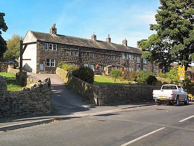
18 26 Main Street, Laycock. Geograph.org.uk 5735518-26 Main Street, Laycock. Grade II listed. The official blurb says: "House and 2 cottages, now 5 dwellings. _W M 1666_ on datestone, possibly incorporating older material, with early C19 alterations and additions. Large squared stones, stone slate roof. 2- storeys, 3 bays, with added bay on left a…David Spencer, cc by-sa
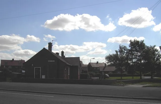
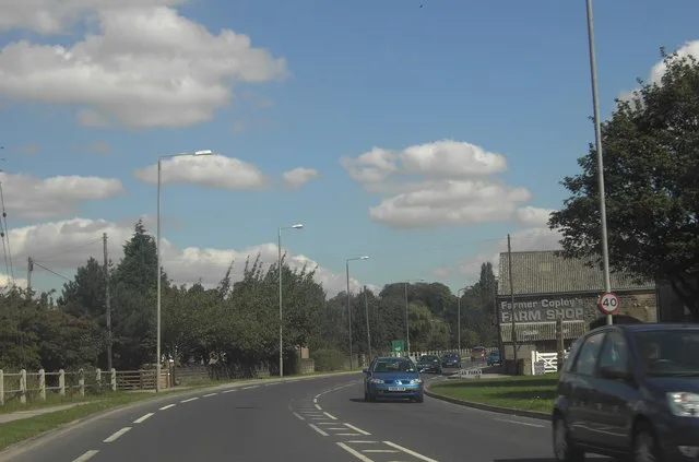
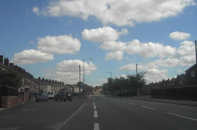
Beech Grove Geograph.org.uk 225650Darren Haddock, cc by-saA645 Pontefract Road Geograph.org.uk 225666Darren Haddock, cc by-saA645 Pontefract Road Geograph.org.uk 225655Darren Haddock, cc by-sa


 Public transport map West Yorkshire Legend
 Cycling map West Yorkshire Legend
 Walking map West Yorkshire Legend