
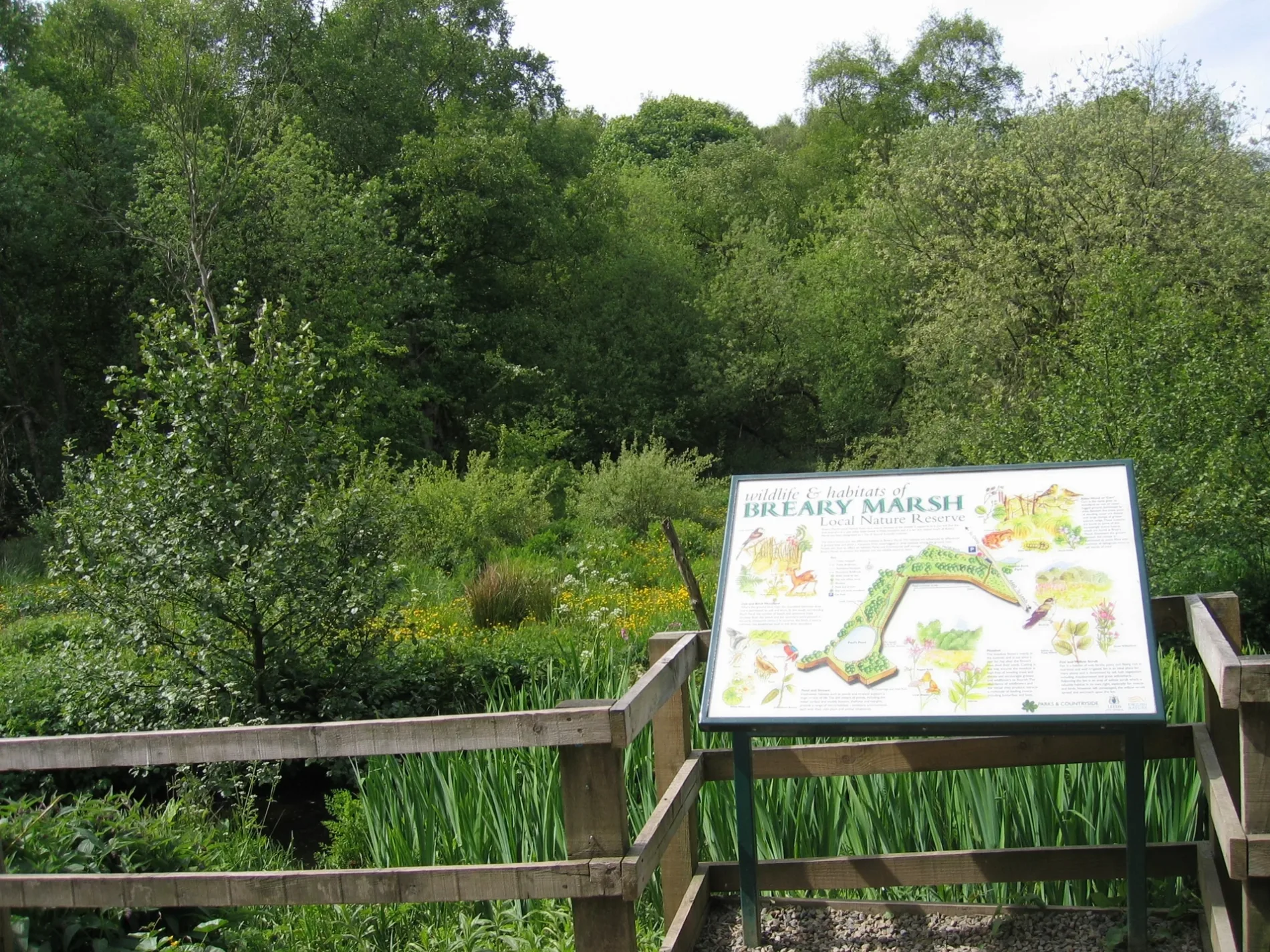
Breary Marsh Local Nature Reserve in City of Leeds
Breary Marsh Local Nature Reserve in Leeds is a nature reserve. Breary Marsh Local Nature Reserve is near Meanwood Valley Trail. Ⓦ.
- Leisure
- nature reserve
- Nature
- woodland
Image
Roads nearby
Meanwood Valley Trail650 m
Marsh Hide Path750 m
Kings Drive800 m
Kings RoadKings Road Bottom
850 m
Adel Dam Nature Trail900 m
Leeds RoadLeeds Road Hall Drive, Leeds Road, Dyneley Arms Hotel Harrogate Road, Dyneley Arms Hotel Pool Bank Road, Leeds Road Tredgold Avenue, Breary Lane Bramhope, Leeds Road Wynmore Avenue, Leeds Road Golden Acre Park, Leeds Road The Birches, Leeds Road Kings Road, Leeds Road The Poplars, Co-op Food, Leeds Road St Giles Garth, Bramhope Hall Rise, Leeds Road Hall Rise, Bramhope Town Well
950 m
The Sycamores1,0 km
Kingsley Drive1,1 km
Arthington RoadEast Breary Farm
1,1 km
Kingsley Avenue1,2 km
Eccup LaneThe New Inn
1,2 km
Adel Mill1,2 km
Holt Park Grange1,2 km
Black Hill LaneEccup Whin
1,3 km
Otley RoadOtley Road Kingsley Drive, Otley Road Lawnswood, Otley Road Ring Road West Park, Lawnswood School, Cardfactory, Otley Road St Chads Drive, Caffeine Addict, Headingley Arndale Centre, British Heart Foundation, Burger King, Boots, 21 Co, Superdrug, Thyme Restaurant, Heavenley Desserts, The Den, Otley Road Welburn Grove, Adel, Otley Road Holt Lane, Otley Road The Crescent, Otley Road New Adel Lane, Otley Road Greenfield Court, Woodends Of Adel, The Foundation, Dastaan, Acorns In Adel, Star Anise, Leeds St Helens Lane, Headingley Lane Glen Road, Otley Road St Chads Road, Audio Republic, Flourish, Otley Road Lawnswood Sports Club, Otley Road Lawnswood Crematorium, Welcome to Bingley, Otley Road Lawns Hall Close, Otley Road Guiseley Libaray, Guiseley Morrisons, Sancerre, Tony Woods Family Butchers, Timpson, Morrisons Cafe, My Vision, Guiseley White Cross, Otley Road Ings Lane, Otley Road Back Lane, Otley Road Guiseley Retail Park, Subway, Guiseley's Co-op, Pizza House, Windsor Interiors, Bellissima Exclusive, Guiseley Community Events, Otley Road Otley Old Road, Otley Old Road Lawnswood, Yazz Number One Hair Salon, Yazz Barbers, Onward Brews & Goods, Corner House Cafe, Philip Kirby, Sue Ryder, Juno, Lister's, Summer Nails, Guiseley Pizza And Kebab, Spring Field Mills, St. Gemma's Hospice, Lounge, Morrisons Travel Money, Sainsbury's, Greggs, PizzaExpress, Costa, Santorini Bar & Grill, Olympus, The Gin Room, Magic VAPE, The Cats Pyjamas, Otley Road St Annes Road, LS1 Dental, Guiseley Station Hotel, Otley Road Morton Terrace, Guise & Dolls, Robson Interiors, Morgan Travel, The Hoptimist, Mr Men's, Blue Residential, Leeds Road, Otley Road Kepston Road, Otley Road Ancaster Road, Otley Road Churchwood Avenue
1,3 km
Kingsley Road1,3 km
Gainsborough Drive1,3 km
Gainsborough Avenue1,3 km
King LaneKing Lane The Lane, King Lane The Avenue, St Gemmas, Cooplands, Alwoodley Avenue Bottom, King Lane Nursery Grove, King Lane Buck Stone Gardens, Tesco Express, Stay Inn, Little Free Library, Black Moor
1,5 km
Attraction nearby
Golden Acre Park650 m
Bird hides nearby
Marsh Hide750 m
Lake Hide900 m
Body of waters nearby
Adel Dam900 m
Cafés nearby
Golden Acre Park Cafe300 m
Disused railways nearby
Golden Acres Park Miniature Railway300 m
Farmyards nearby
Cocker Hill Farm400 m
Old Rushes Farm650 m
Parkway Fields Farm750 m
Manor Farm1,0 km
Rushes Farm1,0 km
Breary Grange1,1 km
Clonmore Farm1,2 km
Blackhill Farm1,3 km
Forests nearby
Black Hill Plantation600 m
Marshes Plantation850 m
Gardens nearby
Heather Garden650 m
Golf courses nearby
Cookridge Hall Golf Course1000 m
Hotels nearby
Mercure Parkway Leeds500 m
Nature reserves nearby
Adel Dam Nature Reserve1,0 km
Gair Wood1,4 km
Orchards nearby
Cherry Orchard850 m
Pubs nearby
West Park Leeds RUFC850 m
Quarries nearby
Blackhill Quarry850 m
Streams nearby
Marsh Beck250 m
Adel Beck1,3 km
Tourist information offices nearby
Golden Acre Park Information Centre300 m
Woodlands nearby
Old Ellers650 m
Reefer Plantation1,2 km
Other nearby
Running Sike1,0 km
| Heritage designation | Site of Special Scientific Interest |
|---|---|
| Country | United Kingdom |
| Website | https://www.leeds.gov.uk/leisure/parks-and-countryside/nature-reserves/breary-marsh |
 Public transport map Leeds Legend
| Railway | |
| Bus | |
| Tram |
 Cycling map Leeds Legend
| Cycle path | |
| Cycle lane on road | |
| Cycling on bus lane | |
| Bicycle street | |
| Cyclists allowed | |
| Cyclists allowed, good surface | |
| No cycling | |
| Cobblestones |
| Long-distance cycle route | (depending on scale) | |
| Long-distance cycle route |
 Walking map Leeds Legend
| Path |
| Long-distance hiking trail | (depending on scale) | |
| Long-distance hiking trail | ||
| No pedestrians |