
York Gate Garden in City of Leeds
York Gate Garden in Leeds is an attraction, Back Church Lane (LS16 8DW).
- Postal Code
- LS16 8DW
- Street
- Back Church Lane
- Tourism
- attraction
- Website
- https://perennial.org.uk/garden/york-gate-garden/
Image
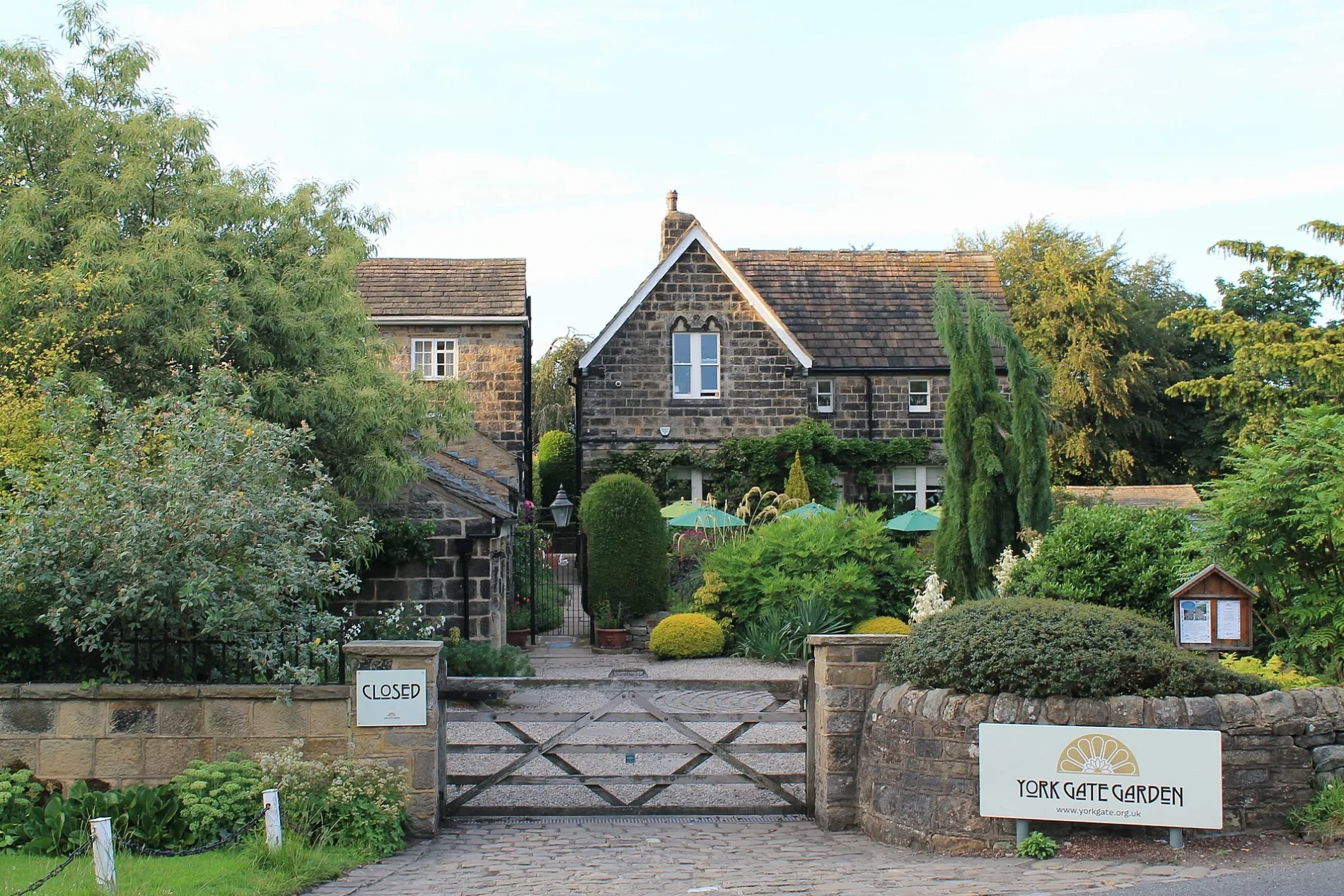
Roads nearby
Back Church Lane50 m
Long CausewayLong Causeway Oaklea Hall Close, Long Causeway St Helens Lane, Long Causeway Dunstarn Drive, Inspirations Nursery
250 m
Stairfoot Close250 m
Stairfoot View300 m
Adel Garth300 m
Eddison Close300 m
Adel Green350 m
East Causeway350 m
East Causeway Close400 m
Oak View400 m
East Causeway Crescent450 m
Sir George Martin DriveSir George Martin Drive Woodstock Drive, Sir George Martin Drive Woodstock Close, Long Causeway East Moor Lane, Adel Wood Stores, Little Free Library
450 m
Church LaneParking - Church of St John the Baptist, Adel War Memorial Association, AlbaRosa meeting point, Church Lane Little Church Lane, Church Lane Parkfield Terrace, Pudsey Park, RKS Brightsparks After School Club, Church Lane Manston Avenue, Dee's Barbers, Church Lane Manston Gardens, A1 News And Mini Market, Church Lane Mickletown Road, Church Lane St Marys Church, Church Lane Grange Avenue, Church Lane Station Fields, Church Lane, Church Lane Parkside Green, Sue Ryder, Betfred, Kutters, Greetings, The Cheesy Living Co, P5 Pudsey Market Place, Boots, Age UK, Mr Blue Market, Church Lane Pharmacy, Church Lane Mortimer Close, Cielo Express, Pudsey Post Office, B&M Bargains, P4 Pudsey Market Place
450 m
Derwent Drive450 m
Fir Avenue500 m
Crag Lane (Dales Way Link)500 m
Wharfe Close550 m
Stair Foot Lane550 m
East Causeway Vale550 m
East Moor LaneAdel East Moor
550 m
Wayland Croft600 m
Wayland Approach600 m
Meanwood Valley Trail650 m
Crag Lane650 m
Wayland Drive700 m
Meanwood Valley Trail (Dales Way Link)700 m
Wayland Court700 m
Adel Mead700 m
Mulberry Rise750 m
Moor Croft800 m
Adel Vale800 m
Mulberry Avenue800 m
Manor House Croft850 m
Woodstock Close850 m
Mulberry View900 m
Mulberry Garth900 m
Spring Hill900 m
Buildings nearby
Bridge Cottage350 m
Eastmoor Secure Unit (former)800 m
Doctor's practice nearby
Adel Surgery600 m
Golf courses nearby
Headingley Golf Club250 m
Pharmacies nearby
Adel Pharmacy600 m
Places of worship nearby
Saint John the Baptist Church200 m
Recreation grounds nearby
Bedquilts Recreation Ground300 m
Sports centres nearby
Adel Sports and Social Club400 m
Old Leo's Rugby Club850 m
Sports pitches nearby
Whinfield Crown Green Bowls Club400 m
Streams nearby
Adel Beck400 m
Woodlands nearby
Adel Woods750 m
| Inception | 1951 |
|---|---|
| Area | 1 |
| Heritage designation | Grade II listed park and garden |
| Located in | Leeds |
| Country | United Kingdom |
| Location | Adel |
 Public transport map Leeds Legend
| Railway | |
| Bus | |
| Tram |
 Cycling map Leeds Legend
| Cycle path | |
| Cycle lane on road | |
| Cycling on bus lane | |
| Bicycle street | |
| Cyclists allowed | |
| Cyclists allowed, good surface | |
| No cycling | |
| Cobblestones |
| Long-distance cycle route | (depending on scale) | |
| Long-distance cycle route |
 Walking map Leeds Legend
| Path |
| Long-distance hiking trail | (depending on scale) | |
| Long-distance hiking trail | ||
| No pedestrians |