
Purston Park Court in Featherstone, Wakefield
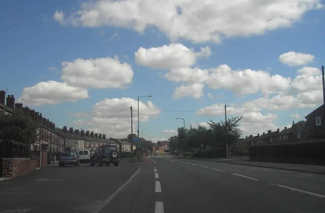
Purston Park Court in Featherstone in Wakefield is a residential street and runs in a northeast-southwest direction starting from Ackworth Road and ends in a cul-de-sac.
- Road Type
- residential street
- Route
- northeast-southwest
Image
Convenience stores
Cafés
Bus stops
Fast food restaurants
Pubs
Newsagent's
Social facility
Roads nearby
Ackworth RoadAckworth Road Purston Road, Ackworth Road Purston Lane, Ackworth Road Went Lane, Ackworth Road Wellgarth Road, Ackworth Road Wentbridge Road, Park Stores
150 m
Wesley PlaceHall Street Wesley Place
150 m
Briggs Row200 m
Hall Street200 m
Bedford Court200 m
Bedford Close250 m
Colliers Road250 m
Lea LanePurston Jaglin
300 m
Silkstone Road300 m
Friars Close300 m
Beech Tree Road300 m
Lidgett Close300 m
Nunn's Croft300 m
Mews Court350 m
Stanley Main Avenue350 m
Tarn Road350 m
St Thomas Road350 m
Nunn's Green350 m
Nunn's Lane350 m
Wentbridge RoadWentbridge Road Beech Tree Road, Wentbridge Road Little Lane, Park View Fisheries
350 m
Warren Court400 m
Beech Grove400 m
Stanley Main Close400 m
Nunn's Close400 m
Katrina Grove400 m
Green Acres400 m
Victoria Street400 m
Wellgarth Road450 m
Brookway450 m
Haigh Moor Drive450 m
Leatham Avenue450 m
Flockton Court450 m
Apple Tree Road500 m
High Hazel Close500 m
Henley Drive500 m
The Green500 m
Little LaneLittle Lane Tarn Road, Little Lane Store
550 m
Dixon Mews550 m
Pontefract RoadThe White House Inn, Pontefract Road Beech Grove, Houndhill Lane, Pontefract Road Houndhill Lane, Pontefract Road Little Lane, Munchbox, Travellers Rest, Dhami Newsagents And Off Licence, F5 Station Lane Brookway, F6 Station Lane Nunns Lane, Sunnydale, Farmer Copley's Farm Shop, Pontefract Road Monkroyd Cottage, Pontefract Road Purston Jaglin, Pontefract Road Hall Street, Happy Family
550 m
Went Lane650 m
Allotment gardens nearby
Vicarage Lane Allotments400 m
Pontefract Road Allotments500 m
Little Lane Allotments550 m
Farmyards nearby
Hawthorne Farm500 m
Guest house nearby
Glencoe Villa Guest House150 m
Parks nearby
Purston Park300 m
Places of worship nearby
St Thomas450 m
Residential areas nearby
Colliers Court450 m
Social facilities nearby
5 Towns Veterans Support Hub200 m
Public transport map Featherstone Legend
| Railway | |
| Bus | |
| Tram |
Cycling map Featherstone Legend
| Cycle path | |
| Cycle lane on road | |
| Cycling on bus lane | |
| Bicycle street | |
| Cyclists allowed | |
| Cyclists allowed, good surface | |
| No cycling | |
| Cobblestones |
| Long-distance cycle route | (depending on scale) | |
| Long-distance cycle route |
Walking map Featherstone Legend
| Path |
| Long-distance hiking trail | (depending on scale) | |
| Long-distance hiking trail | ||
| No pedestrians |