
Kolo Drive in Cherokee Village, Arkansas
Kolo Drive in Cherokee Village is a residential street and it runs in a northeast-southwest direction starting from Banho Circle and crosses Nokonda Road and ends at Ouachita Road.
- Road Type
- residential street
- Route
- northeast-southwest
Image
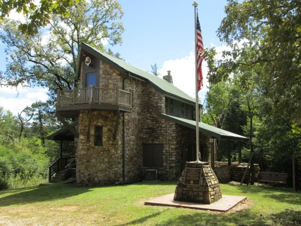
Fire stations
Artworks
Places of worship
Streets nearby
Kila Drive0.2 mi
Ouachita Road0.2 mi
Griffin Lane0.2 mi
Nokonda Road0.2 mi
Ohew Drive0.2 mi
Kewe Drive0.2 mi
Kiki Drive0.2 mi
Stone Falls Lane0.3 mi
Kawa Drive0.3 mi
Banho Circle0.3 mi
Flathead Drive0.3 mi
Hondo Circle0.4 mi
Griffin Circle0.4 mi
Bernard Road0.4 mi
Harmon Road0.4 mi
Griffin Road0.5 mi
Mohawk Circle0.5 mi
Bernard Circle0.5 mi
Stone Creek Road0.5 mi
Cisco Circle0.5 mi
Bernard Lane0.5 mi
Cherokee Road0.5 mi
Altakima Trace0.5 mi
Blackfoot Lane0.5 mi
Altakima Circle0.6 mi
Qua Circle0.6 mi
Riverview Circle0.6 mi
Indian Avenue0.6 mi
Tres Circle0.6 mi
Miramichee Circle0.6 mi
Miramichee Drive0.6 mi
Broken Bow Drive0.6 mi
Little Beaver Street0.6 mi
Riverview Lane0.6 mi
Cochise Trace0.6 mi
Crawdad Creek Drive0.6 mi
Little Crow Street0.6 mi
Warclub0.7 mi
View Lane0.7 mi
Tomahawk Drive0.7 mi
Kiwanie Cove0.7 mi
Choctaw Drive0.7 mi
Kiwanie Lane0.7 mi
Lake Kiwanie Circle0.7 mi
Cochise Road0.7 mi
Chief Day Break Drive0.7 mi
Gwaltney0.7 mi
Chism Trail0.8 mi
Harmond Road0.8 mi
Public transit map Cherokee Village Legend
| Railway | |
| Bus | |
| Streetcar |
Bicycle map Cherokee Village Legend
| Bike path | |
| Bike lane on roadway | |
| Cycling allowed on bus lane | |
| Bicycle street | |
| Open to cyclists | |
| Open to cyclists, good path | |
| Cycling prohibited | |
| Cobblestone |
| Long-distance bike route | (depending on scale) | |
| Long-distance bike route |
Pedestrian map Cherokee Village Legend
| Path |
| Long-distance hiking trail | (depending on scale) | |
| Long-distance hiking trail | ||
| Pedestrians prohibited |