
Hardy, Arkansas
Hardy is located in Sharp County. About 772 people live here. Between 2010 and 2020, the population declined from 772 to 743. The region is at 115 meters above sea level. The area covers about 14.0 square kilometers. There are about 186 streets in Hardy. The ZIP codes are 72542. The dialing code is 870. Hardy is city on border of Fulton and Sharp Counties in Arkansas, USA. Among other things, Hardy has restaurants, supermarkets, clothing Stores and museums.
Hardy – Facts
| Population | 743 |
|---|---|
| Area | 14.0 km² |
| Elevation | 115 m |
| Located in | Fulton County, Sharp County |
| Postal code | 72542 |
| Country | United States |
| Official name | Hardy |
Data source: Wikidata (CC0)
Photos from Hardy
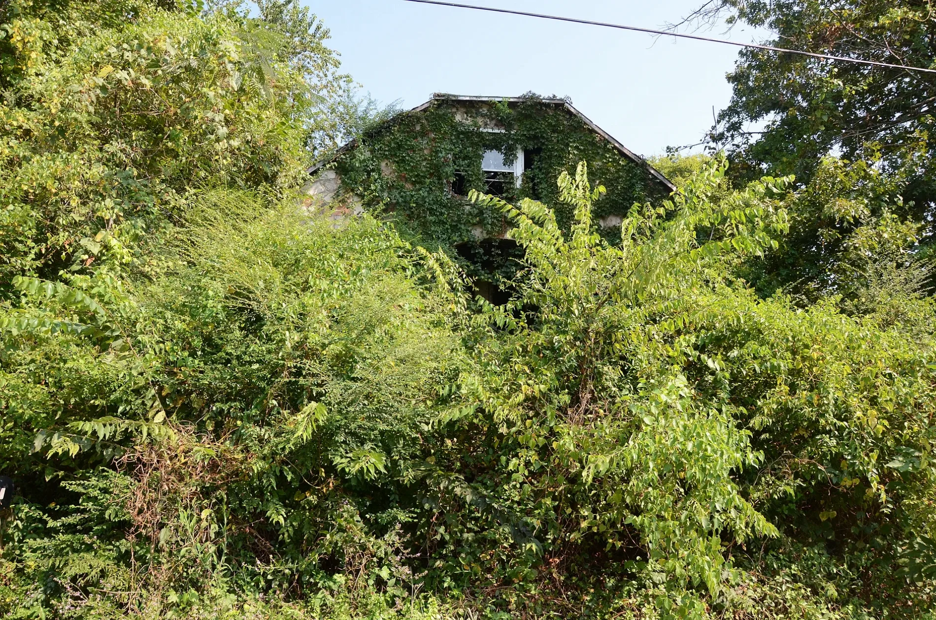
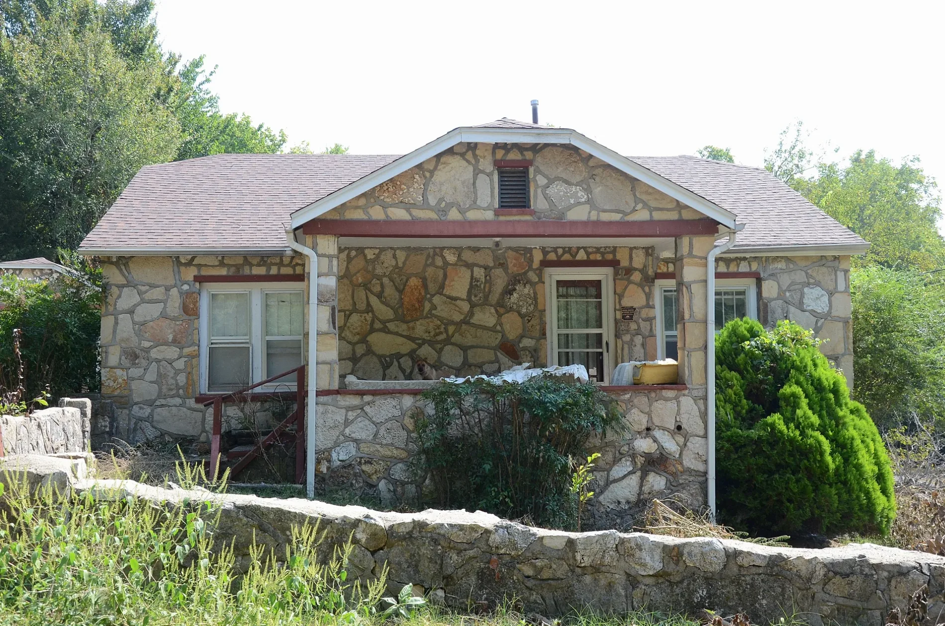
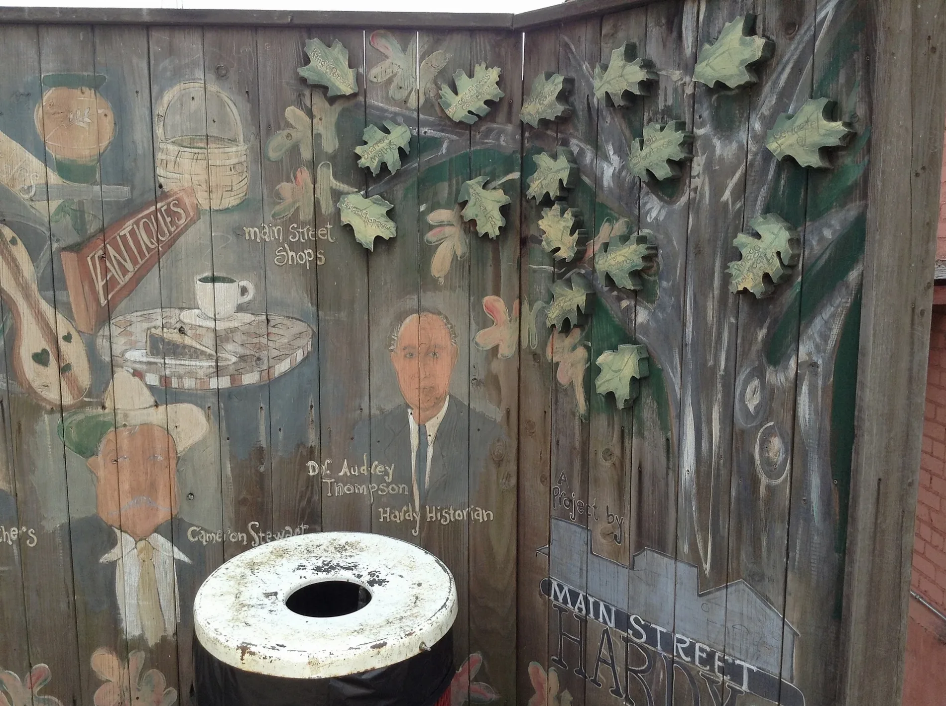
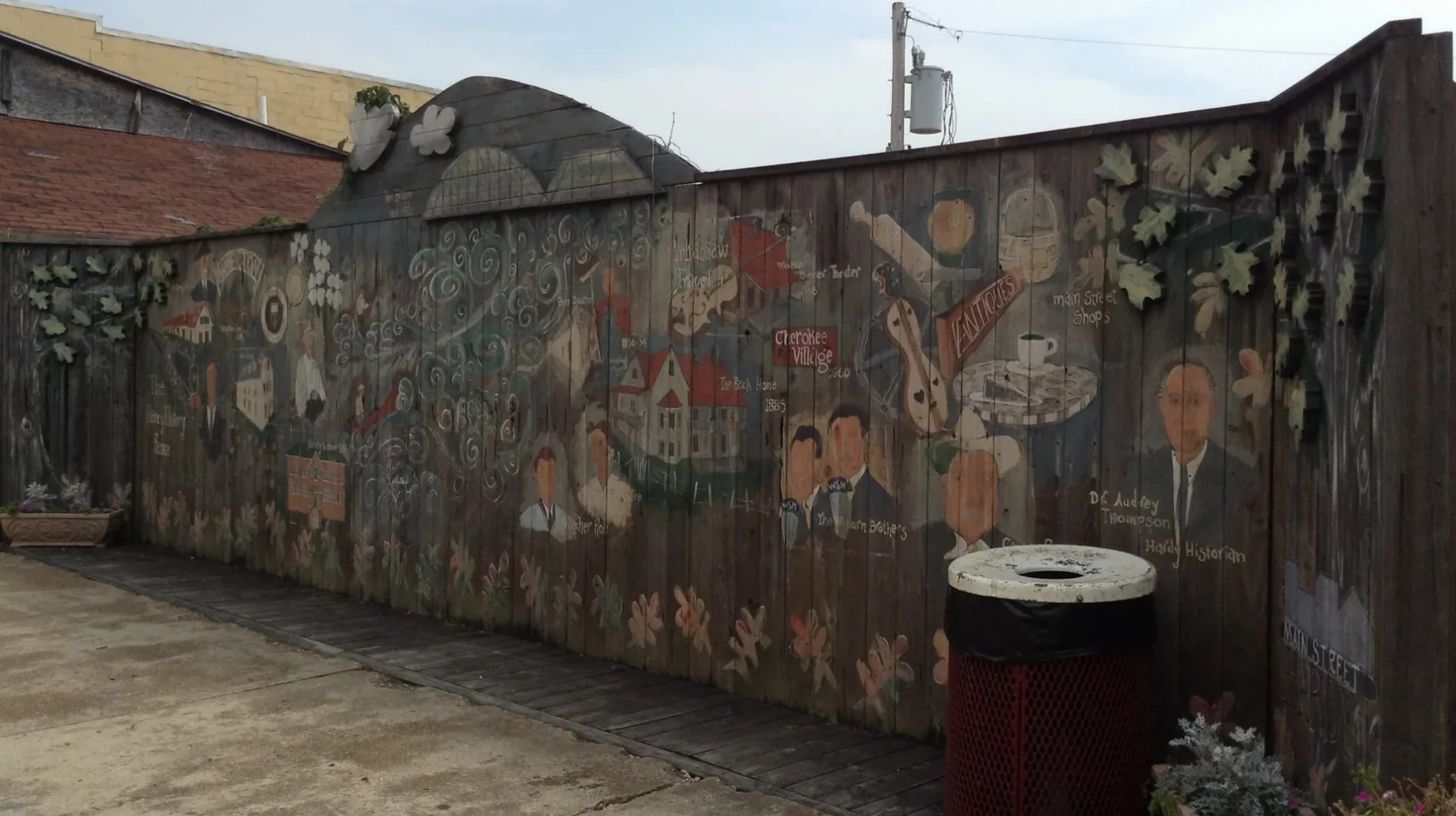
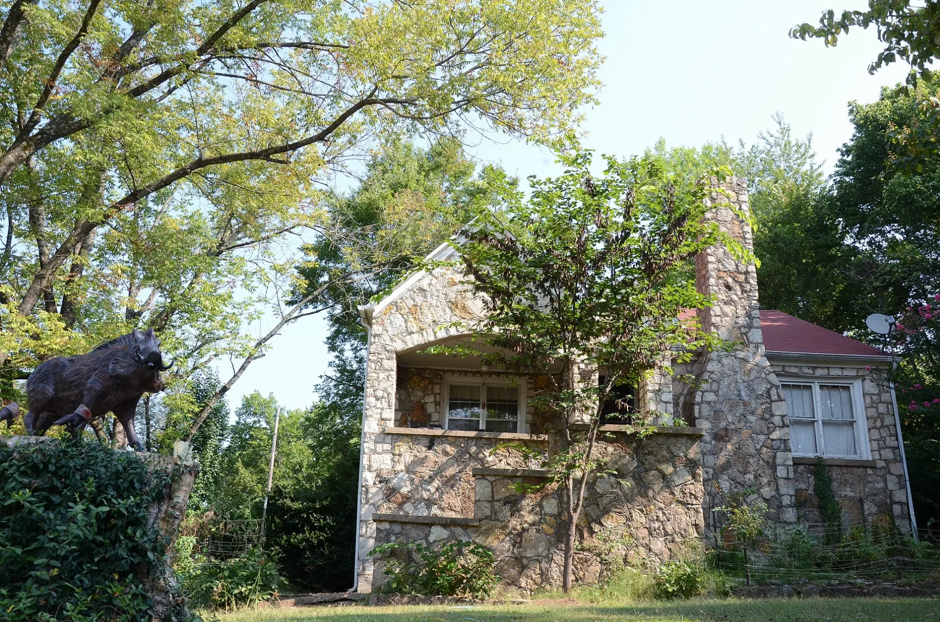
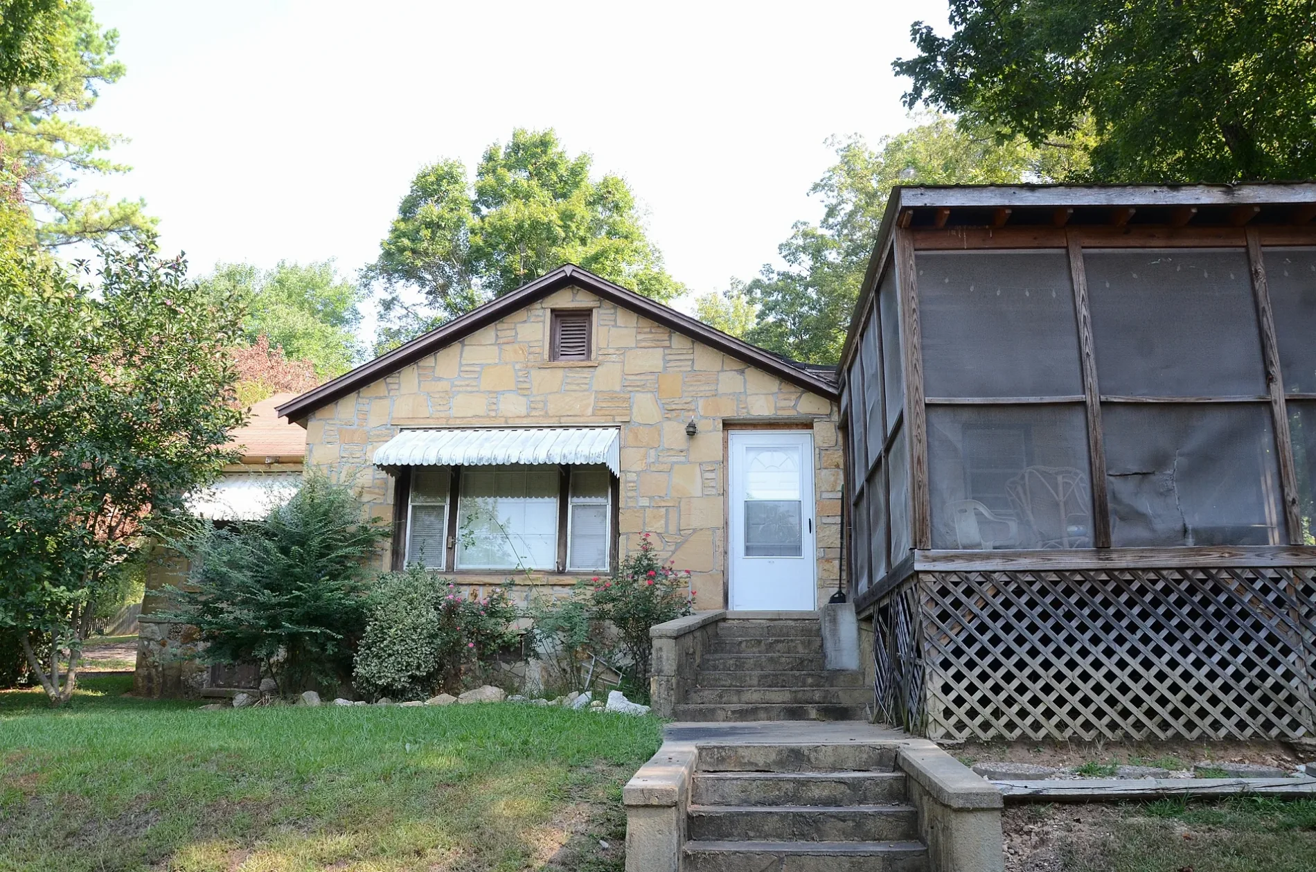
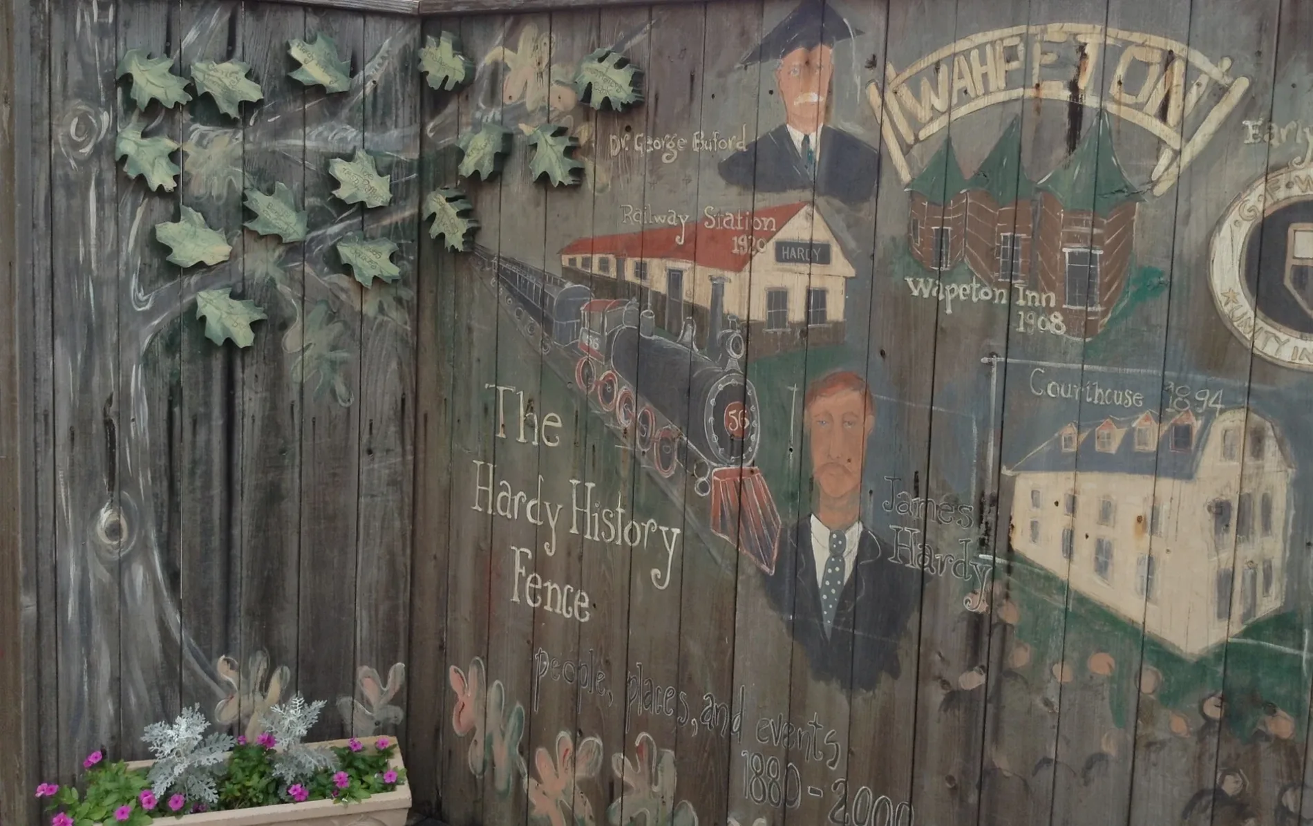
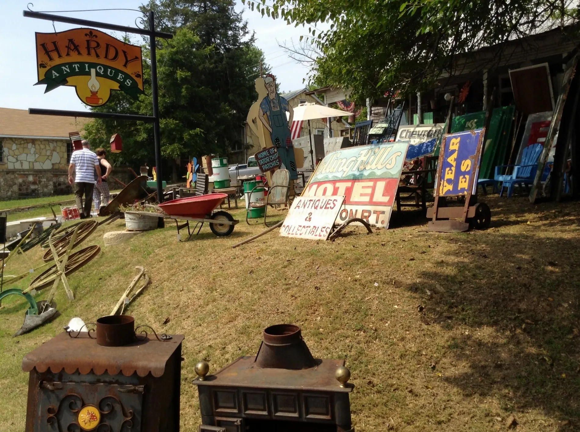
Streets in Hardy, Arkansas
Streets
East Main Street
CrossEyed Catfish, Sabai Thai Cuisine, Picker's Paradise, 3 Magi, Hardy Sweet Shop, Moss Antiques & Collectibles, Expressions Tattoos & Piercings, The Brass Cat, Wood -n- Things, Miller's Leather Shop
Dawson StreetValero, Hardy Police Department
Church StreetHardy Fire Department, The Happy Hippie
Jackson AvenuePrice Chopper
West 1st StreetBingo
Front StreetHardy History Museum
Echo LaneCenturytel
North Spring StreetHardy, Zen + Zeus Clothing Company
Old CCC Road
Loberg Drive
Boothe Road
Kelly Avenue
Tv Tower Road
Village Street
Dogwood Lane
Blue Bell Hollow
East Clayton Street
East 3rd Street
Pecan Grove Road
French Lane
Bobo Trace
Giles Road
Grafftin Drive
Alan A Dale Drive
Lancaster Road
Jo Jo Street
East 5th Street
Sherwood Forest Lane
Friar Tuck Drive
Briarwood Drive
Springwood Lane
Jonathan Road
Peach
West Fifth Street
Robin Hood Lane
Buckaroo Lane
Elm Street
Holden Lane
Pine Street
South Spring Street
Deer Cove
Begalske Way
East 4th Street
Don Caster
West 4th Street
Tom Lee
East Valley Road
King Henry Road
East Riverview Drive
Little John Road
Glenwood Drive
Groves Street
Bobo Drive
West Wahpeton Hill Road
School Street
Rainbow Drive
Springwood Drive
Cope Avenue
2nd Street
Ermine Drive
Rio Vista Circle
Steves Road
Sunny Lane
West 3rd Street
Short Street Road
Flint Cove
Little John Drive
Westwood DriveBanks
Buildings
Fast food restaurants
Gas stations
Parks
Rental services
Residential areas
Restaurants
Streams
Public transit map Hardy Legend
| Railway | |
| Bus | |
| Streetcar |
Bicycle map Hardy Legend
| Bike path | |
| Bike lane on roadway | |
| Cycling allowed on bus lane | |
| Bicycle street | |
| Open to cyclists | |
| Open to cyclists, good path | |
| Cycling prohibited | |
| Cobblestone |
| Long-distance bike route | (depending on scale) | |
| Long-distance bike route |
Pedestrian map Hardy Legend
| Path |
| Long-distance hiking trail | (depending on scale) | |
| Long-distance hiking trail | ||
| Pedestrians prohibited |