
East Main Street in Hardy, Arkansas
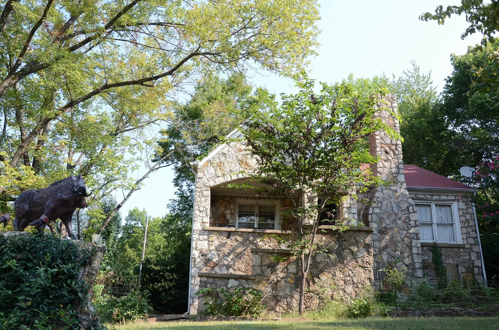
East Main Street in Hardy is an asphalted main road (Road number US 63 BUS). It runs in an east-west direction starting from West Main Street and crosses North Spring Street, Johnson, Kelly Avenue, Cope Avenue, Woodland Hills Road, Echo Lane, Springwood Drive, Village Street, Pecan Grove Road and Quarry Road. It ends in a cul-de-sac. This street is part of the highways NHS High Priority Corridor 8, 63B, 63, 412 and 62. Nearby you can find among others 2 restaurants, 2 antique stores, a marketplace and an ice cream shop. East Main Street also exists in Evening Shade and Sidney.
- Road Type
- main road
- Speed Limit
- 30 mph
- Route
- east-west
Image
Tattoo studios
Restaurants
Marketplaces
Leather goods stores
Streets nearby
Cope Avenue400 ft
Dawson StreetValero, Hardy Police Department
500 ft
East 1st Street0.1 mi
Kelly Avenue0.1 mi
East Valley Road0.2 mi
Echo LaneCenturytel
0.2 mi
Woodland Hills Road0.2 mi
Johnson0.2 mi
East 4th Street0.2 mi
East 3rd Street0.2 mi
Groves Street0.2 mi
Horn Street0.2 mi
Springwood Drive0.3 mi
Front StreetHardy History Museum
0.3 mi
2nd Street0.3 mi
East 5th Street0.3 mi
Newsom0.3 mi
Springwood Lane0.3 mi
West 1st StreetBingo
0.3 mi
West Main Street0.3 mi
Burton0.3 mi
West 4th Street0.3 mi
East Clayton Street0.3 mi
Pecan Grove Road0.3 mi
North Spring StreetHardy, Zen + Zeus Clothing Company
0.3 mi
Blue Bell Hollow0.4 mi
Sky High Drive0.4 mi
Rainbow Drive0.4 mi
Robin Hood Lane0.4 mi
South Spring Street0.4 mi
Beach Road0.4 mi
Begalske Way0.4 mi
Village Street0.4 mi
East Riverview Drive0.4 mi
Walnut0.5 mi
Dogwood Lane0.5 mi
Oak Street0.5 mi
Buckaroo Lane0.6 mi
East River Road0.7 mi
Shops nearby
Clearwater Corner Shop0.3 mi
Buildings nearby
Ruby's On Main0.2 mi
Dams nearby
Rainbow Lake Dam0.4 mi
Parks nearby
Walter Norman "Buck" Memorial Garden / Buford Beach0.5 mi
Places of worship nearby
Hardy United Methodist Church0.3 mi
Railways nearby
BNSF Thayer South Subdivision0.6 mi
Rental services nearby
RiverStop250 ft
Residential areas nearby
Spring River Apartments0.4 mi
Restaurants nearby
Corner Booth Restaurant0.3 mi
Rivers nearby
Spring River0.5 mi
Streams nearby
Forty Island Creek0.5 mi
Public transit map Hardy Legend
| Railway | |
| Bus | |
| Streetcar |
Bicycle map Hardy Legend
| Bike path | |
| Bike lane on roadway | |
| Cycling allowed on bus lane | |
| Bicycle street | |
| Open to cyclists | |
| Open to cyclists, good path | |
| Cycling prohibited | |
| Cobblestone |
| Long-distance bike route | (depending on scale) | |
| Long-distance bike route |
Pedestrian map Hardy Legend
| Path |
| Long-distance hiking trail | (depending on scale) | |
| Long-distance hiking trail | ||
| Pedestrians prohibited |