
Pacific Street in Roseville, California
Pacific Street in Roseville is a residential street and it ends at Lincoln Street and comes from Church Street. Nearby there is among others a restaurant. The nearest stops are Roseville, California- (RSV) and Roseville. The bus lines 3 AM, 6 PM and 20 as well as the train routes California Zephyr and Capitol Corridor serve this stop. Pacific Street also exists in Rocklin.
- Road Type
- residential street
Image
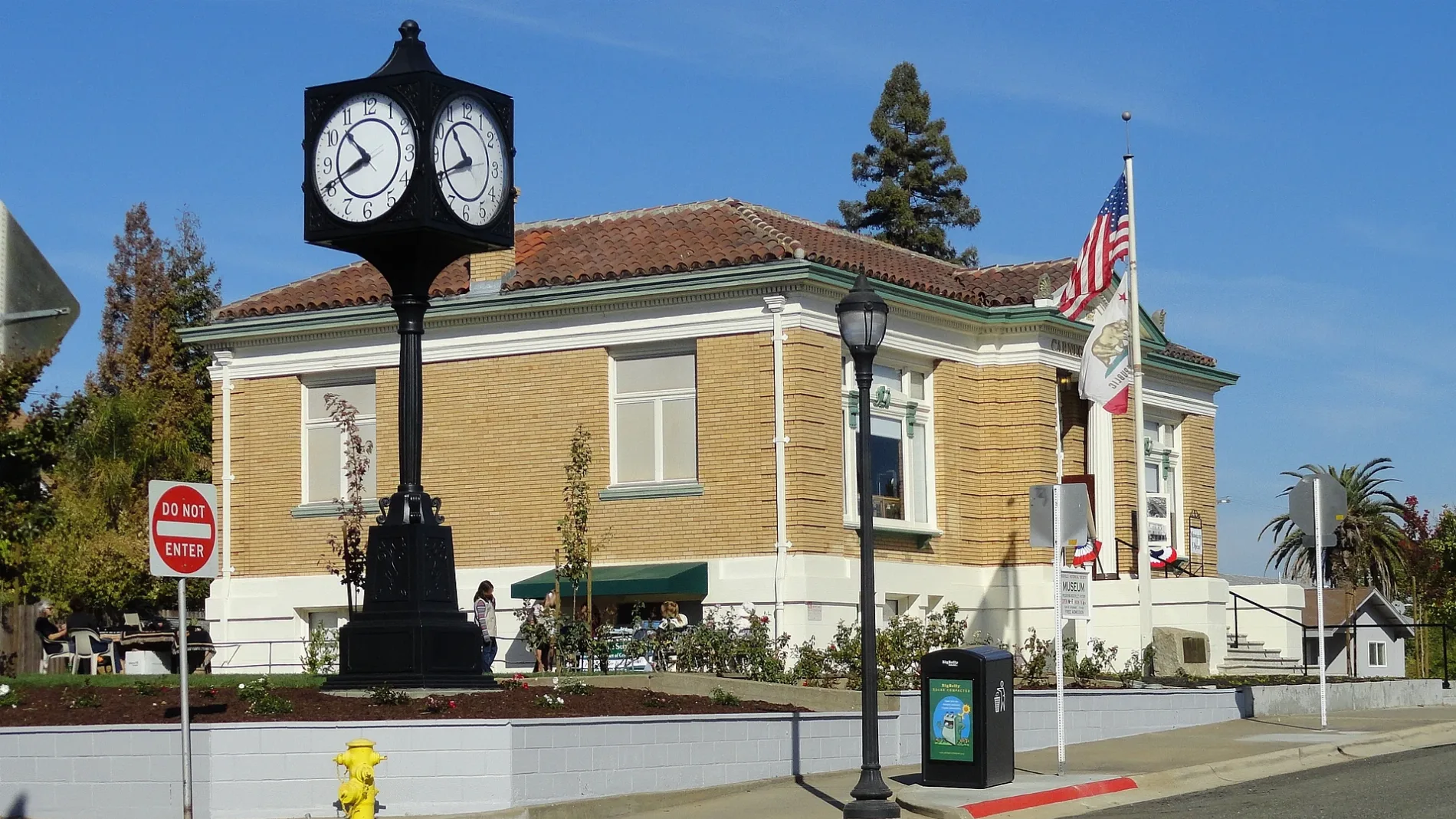
Restaurants
Platforms
- bus lines 3 AM, 6 PM, 20
- train routes California Zephyr, Capitol Corridor
Streets nearby
Atlantic StreetCP Yosemite, Atlantic at Center, Atlantic at Yosemite, Chevron, Atlantic Street Veterinary Hospital
400 ft
Church StreetThe Owl Club, Trocadero, One Eleven Music Lessons, Charmed Salon, The Garage, Old Town Pizza, Backstreet Salon, Lavish Beauty, Roseville, Roundhouse Deli
450 ft
Main StreetBar 101, Onyx Club, Opera House Saloon, Makeup Before You Wakeup, One Seventeen Salon, Edge Salon, Up Rock Studios, L & L Esthetics, Sassy’s Salon & Spa, Roseville, Main Street Grocery, Main at Washington, Main before Atkinson, Main before Foothills
0.1 mi
Ice House Road0.1 mi
Vernon StreetRoseville Telephone Museum, Bail Education Association, Bounty Hunters Cafe, Roseville Cyclery, Junction, Vernon past Taylor, Village General Store & Refillery, Root of Happiness Kava Bar, The Fig Tree Coffee, Vernon at Judah
0.1 mi
Washington BoulevardExtra Space Storage, Washington past Junction, Storage Direct, Washington at Pleasant Grove, All American City Animal Hospital, Jersey Mike's Subs, Noah's Bagels, Roku Japanese Cuisine, Chipotle, New York Pizza, Washington past All America City, Veritas Church, East Gate, Washington at Industrial
0.1 mi
Guava Alley0.1 mi
South Grant StreetUnited States Post Office
0.1 mi
Jefferson Street0.2 mi
Lincoln StreetMoose Lodge, The Beauty Bar, Boxing Donkey, El Charro Taqueria, Golden Honey, Roseville Tattoo Co., Bijou Beauty, Shades of Joy, Fig + Ivy, The Beauty Parlor, Terra Beauty, Fourscore Coffee House, Abstract Skateboarding, Scissors & Blades, Aesthetic Collective, Lavish Hair Studio
0.2 mi
Oak StreetRailroad Hobbies, Civic Center Transfer Point
0.2 mi
Placer Street0.2 mi
Roseville Street0.2 mi
Sierra Boulevard0.2 mi
Walnut Street0.2 mi
Brittain Street0.2 mi
Linda Drive0.3 mi
Folsom RoadGrocery Outlet, Once Upon a Child, BlueZone Sports, Wild Birds Unlimited
0.3 mi
Almond Street0.3 mi
Miner's Ravine TrailTandoori Nights
0.3 mi
Branstetter StreetAdelante High School
0.3 mi
Brookview Street0.3 mi
Sutter AvenueLions Clubs International
0.3 mi
Short Street0.3 mi
Coronado Avenue0.4 mi
Shasta StreetLaundry
0.4 mi
Doyle Street0.4 mi
Yosemite StreetFull Gospel Tabernacle
0.4 mi
Tahoe AvenuePlacer SPCA
0.4 mi
Buildings nearby
Roseville Tribune and Register Building350 ft
Owl Club Building350 ft
Bank of Italy Building350 ft
Chicago West Building550 ft
McRae Block0.1 mi
Annex on Main0.1 mi
105 Noshery0.2 mi
Veterans Memorial Building0.2 mi
Covered areas nearby
Train Watching Platform (a.k.a. The Gazebo)300 ft
Fire stations nearby
Carl J. Green Memorial Fire Station0.2 mi
Museums nearby
Carnegie Museum0.2 mi
Parks nearby
Royer Park0.2 mi
Places of worship nearby
First United Methodist Church550 ft
Pubs nearby
The Monk's Cellar0.1 mi
Railways nearby
UP Martinez Subdivision100 ft
UP Roseville Subdivision250 ft
UP Valley Subdivision0.2 mi
Stations nearby
Civic Center Transfer Point0.1 mi
Theaters nearby
Magic Circle Theatre0.1 mi
Town halls nearby
Roseville City Hall0.2 mi
Public transit map Roseville Legend
| Railway | |
| Bus | |
| Streetcar |
Bicycle map Roseville Legend
| Bike path | |
| Bike lane on roadway | |
| Cycling allowed on bus lane | |
| Bicycle street | |
| Open to cyclists | |
| Open to cyclists, good path | |
| Cycling prohibited | |
| Cobblestone |
| Long-distance bike route | (depending on scale) | |
| Long-distance bike route |
Pedestrian map Roseville Legend
| Path |
| Long-distance hiking trail | (depending on scale) | |
| Long-distance hiking trail | ||
| Pedestrians prohibited |