
10th Street in Downtown Riverside, California
10th Street in Riverside is a three-lane, asphalted local road. No bike lane available. It runs in a southeast-northwest direction and crosses Redwood Drive, Pine Street, Cedar Street, Locust Street, Brockton Avenue, Chestnut Street, Almond Street, Market Street, Main Street, Orange Street and Lemon Street and ends at Lime Street, while the other end is a cul-de-sac. Nearby you can find 3 artworks, a cafe and a hair salon. The nearest bus stop is K (about 250 m away). 10th Street also exists in Eastside.
- Road Type
- local road
- Lanes
- 3
- Speed Limit
- 25 mph
- Route
- southeast-northwest
Image
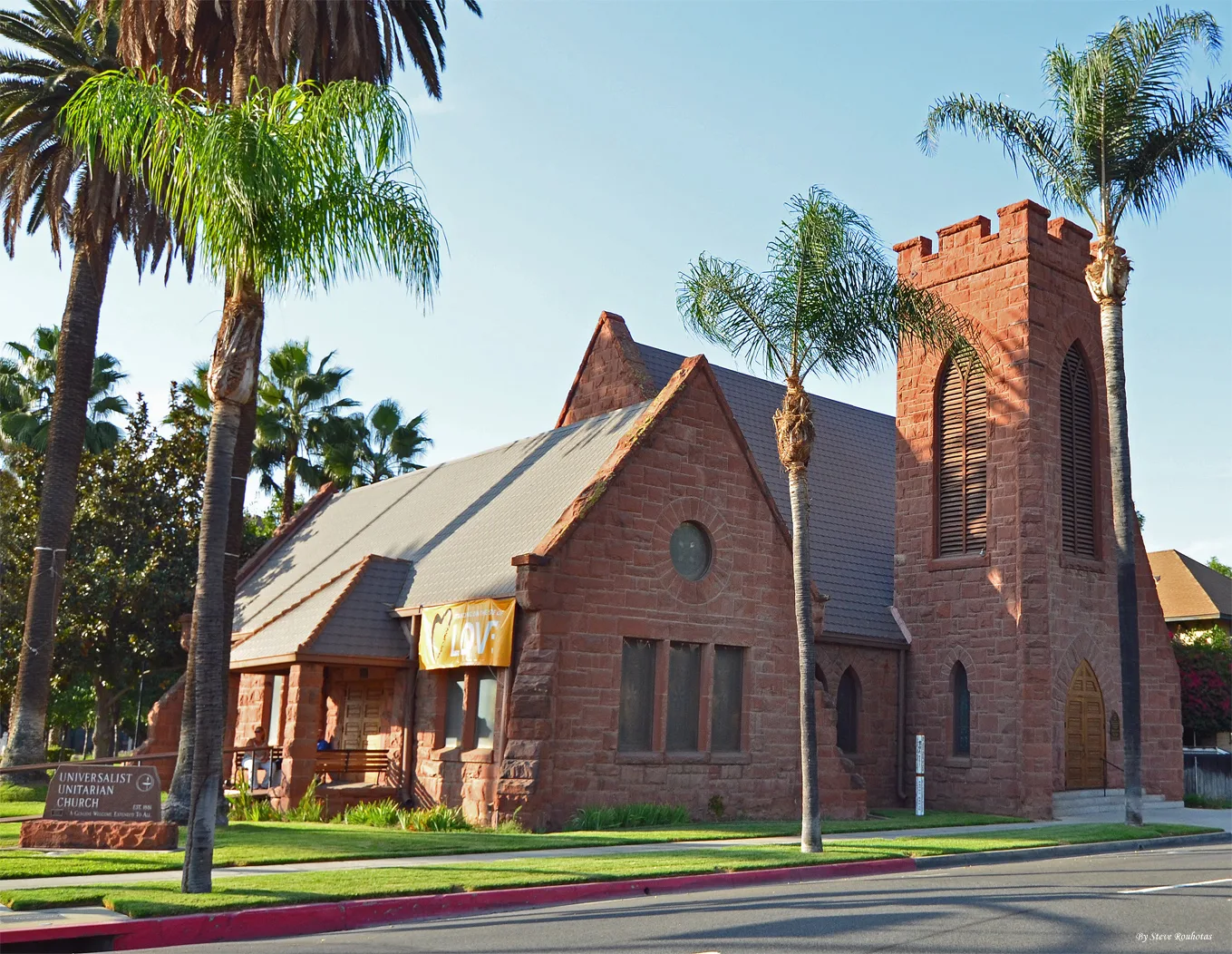
Artworks
Streets nearby
Lime StreetSaint Francis de Sales Catholic Church, Pizza Hut
200 ft
9th StreetUnited States Post Office, Tesla Supercharger, Lucky Dollar, bb.q Chicken, Le Chat Noir, Cupid's Coven Wedding Chapel
500 ft
Lemon StreetThe Church of Jesus Christ of Latter-day Saints, Riverside County Law Library
0.1 mi
Mulberry Street0.1 mi
12th StreetDe Anza Theater
0.2 mi
Eleventh Street0.2 mi
John G. Gabbert Judicial Plaza0.2 mi
Jack B Clarke Way0.2 mi
Orange Street12th & Orange, Riverside Citrus Labels, Sundial Clock, W at Worthington's, Downtown Experiment, Old City Hall, Albertaco's
0.2 mi
University AvenueMobil, Wingstop, Little Caesars, Boost Mobile, Cesar E. Chavez Community Center, Walgreens
0.2 mi
13th StreetSaint Francis School, Grant Elementary School
0.2 mi
Santa Fe Avenue0.2 mi
Main StreetGram's BBQ Restaurant & Catering, Cafe Oro Dos Aztecas, Riverside, UCR ARTS, Sower's Dream, Seth Thomas Clock, The Lobby Cocktail Lounge & Kitchen, Palenque Kitchen by Mezcal, Bella Trattoria Italian Bistro, Duane's Prime Steaks & Seafood, Lock in Your Love, Chrome Bumpers, Camera Obscura, Arcade Downtown, GRAY AREA, Casey's Cupcakes, Mission Galleria Antique Shoppe, Japanese Stone Lantern, Raincross, AMPM, Arco, Baker's, Let’s Go RV
0.3 mi
Olivewood Avenue0.3 mi
14th Street0.3 mi
Riverside Freeway0.3 mi
Orange Grove Avenue0.4 mi
Vine StreetF, El Patrón Downtown Riverside, CP SCRRA Junction, C, Vine Street Layover, Riverside Metrolink Southbound Lat, B, D, E, G, H, I, J, K, The Old Spaghetti Factory, Union Bank, A
0.4 mi
Kane Street0.4 mi
Commerce StreetRiverside–Downtown, CP Riverside, CP West Riverside
0.4 mi
Artworks nearby
Lime Street Pedestrian Bridge550 ft
Time, Talent, Treasure0.1 mi
How To Fly0.2 mi
Buildings nearby
Riverside County Administrative Center250 ft
3960 Orange Street500 ft
Lerner Building0.1 mi
M. H. Simons Undertaking Chapel0.2 mi
Riverside County Department of Facilities Management0.4 mi
Convenience stores nearby
7-Eleven0.3 mi
Courthouses nearby
Riverside Historic Courthouse0.2 mi
California Court of Appeal0.2 mi
United States Bankruptcy Court0.2 mi
United States District Court0.2 mi
Riverside Hall of Justice0.2 mi
Event venues nearby
Thee Olde Chapel0.3 mi
Fast food restaurants nearby
Jack in the Box0.3 mi
Gardens nearby
Mariposa Garden0.2 mi
Industrial areas nearby
Riverside Layover Facility North0.2 mi
Office buildings nearby
Riverside Centre100 ft
Citrus Tower550 ft
Parks nearby
Robert M. Howie Plaza250 ft
Places of worship nearby
St. Francis De Sales Catholic Church0.2 mi
Police stations nearby
Riverside County Sheriff's Department450 ft
Riverside Police Department0.1 mi
Railways nearby
BNSF San Bernardino Subdivision0.3 mi
UP Los Angeles Subdivision0.4 mi
Los Angeles Subdivision0.4 mi
Restaurants nearby
Applebee's0.2 mi
Retail buildings nearby
Aurea Vista Hotel Building0.1 mi
 Public transit map Downtown Riverside Legend
| Railway | |
| Bus | |
| Streetcar |
 Bicycle map Downtown Riverside Legend
| Bike path | |
| Bike lane on roadway | |
| Cycling allowed on bus lane | |
| Bicycle street | |
| Open to cyclists | |
| Open to cyclists, good path | |
| Cycling prohibited | |
| Cobblestone |
| Long-distance bike route | (depending on scale) | |
| Long-distance bike route |
 Pedestrian map Downtown Riverside Legend
| Path |
| Long-distance hiking trail | (depending on scale) | |
| Long-distance hiking trail | ||
| Pedestrians prohibited |