
University Avenue in Eastside, Riverside, California
University Avenue in Eastside in Riverside is a four-lane, asphalted main road. The street has bike paths (bike lane). It runs in an east-west direction and crosses Chicago Avenue, Ottawa Avenue, Dwight Avenue, Douglass Avenue, Kansas Avenue, Eucalyptus Avenue, Comer Avenue, Sedgewick Avenue, Victoria Avenue, Iowa Avenue, Cedar Street and Locust Street. It ends in a cul-de-sac and connects Eastside, University and Downtown Riverside. Nearby you can find among others 2 fast food restaurants, a gas station, a cell phone store and a community center. The nearest stop is Riverside–Downtown (about 250 m away).
- Bike Lane
- lane
- Road Type
- main road
- Lanes
- 4
- Speed Limit
- 35 mph
- Route
- east-west
Image
Fast food restaurants
Community centers
Streets nearby
Vine StreetF, El Patrón Downtown Riverside, CP SCRRA Junction, C, Vine Street Layover, Riverside Metrolink Southbound Lat, B, D, E, G, H, I, J, K, The Old Spaghetti Factory, Union Bank, A
100 ft
Jack B Clarke Way200 ft
Santa Fe Avenue400 ft
Riverside Freeway450 ft
Mulberry Street500 ft
Commerce StreetRiverside–Downtown, CP Riverside, CP West Riverside
0.1 mi
Mission Inn Avenue7th St
0.2 mi
9th StreetUnited States Post Office, Tesla Supercharger, Lucky Dollar, bb.q Chicken, Le Chat Noir, Cupid's Coven Wedding Chapel
0.2 mi
Lemon StreetThe Church of Jesus Christ of Latter-day Saints, Riverside County Law Library
0.2 mi
10th StreetRiverside–Downtown, L, M, N, O, P
0.2 mi
5th StreetCheba Hut "Toasted" Subs
0.3 mi
Lime StreetSaint Francis de Sales Catholic Church, Pizza Hut
0.3 mi
6th StreetEbenezer Asemblea de Dios, Longfellow Elementary School
0.3 mi
Orange Street12th & Orange, Riverside Citrus Labels, Sundial Clock, W at Worthington's, Downtown Experiment, Old City Hall, Albertaco's
0.3 mi
Park AvenueIglesia Universal, Iglesia de Dios en Riverside, Our Lady of Guadalupe Shrine, Second Missionary Baptist Church, Comunidad Dios Habla Hoy, Temporary SPC. Jesus S. Duran Eastside Library, Eastside Arthouse
0.4 mi
3rd StreetPower House Church of God
0.4 mi
4th Street0.4 mi
Artworks nearby
Time, Talent, Treasure0.2 mi
Apex Predator0.2 mi
Owls & Friends0.3 mi
Aspirations of the Eastside0.3 mi
Buildings nearby
Union Pacific Depot250 ft
Santa Fe Depot450 ft
The Appliance Outlet0.2 mi
Christian Science Reading Room0.2 mi
AT&T0.3 mi
Harada House0.4 mi
Event venues nearby
Avila's Historic 1929300 ft
Riverside Municipal Auditorium0.2 mi
Galleries nearby
Riverside Art Museum0.2 mi
Industrial areas nearby
Riverside Layover Facility South0.1 mi
Riverside Layover Facility North0.2 mi
Museums nearby
The Cheech Marin Center for Chicano Art & Culture of the Riverside Art Museum0.3 mi
Museum of Riverside0.3 mi
Office buildings nearby
Citrus Tower0.1 mi
Parks nearby
North Park400 ft
Pavilions nearby
Chinese Pavilion0.3 mi
Places of worship nearby
First Church of Christ, Scientist0.2 mi
First Congregational Church0.3 mi
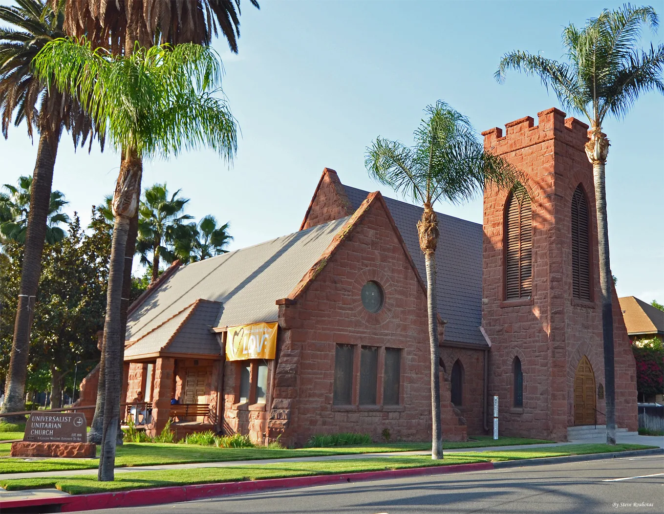
Universalist Unitarian Church of Riverside0.3 mi
Church of the Nazarene Riverside0.4 mi
Pubs nearby
Heroes0.2 mi
Railways nearby
BNSF San Bernardino Subdivision500 ft
San Bernardino Subdivision500 ft
Restaurants nearby
Applebee's250 ft
Retail buildings nearby
YMCA Building0.2 mi
Aurea Vista Hotel Building0.2 mi
Stationery stores nearby
OfficeMax0.3 mi
Supermarkets nearby
Smart & Final0.4 mi
 Public transit map Eastside Legend
| Railway | |
| Bus | |
| Streetcar |
 Bicycle map Eastside Legend
| Bike path | |
| Bike lane on roadway | |
| Cycling allowed on bus lane | |
| Bicycle street | |
| Open to cyclists | |
| Open to cyclists, good path | |
| Cycling prohibited | |
| Cobblestone |
| Long-distance bike route | (depending on scale) | |
| Long-distance bike route |
 Pedestrian map Eastside Legend
| Path |
| Long-distance hiking trail | (depending on scale) | |
| Long-distance hiking trail | ||
| Pedestrians prohibited |