
Mulberry Street in Eastside, Riverside, California
Mulberry Street in Eastside in Riverside is a three-lane, asphalted main road. No bike lane available. It runs as a one-way street in a southwest-northeast direction starting from 9th Street and crosses University Avenue and ends at Mission Inn Avenue. Mulberry Street also exists in Northside.
- Road Type
- main road
- Lanes
- 3
- Speed Limit
- 35 mph
- Route
- northeast-southwest
Image
Bus stops
- bus lines 1, 15, 22, 29, 49, 208
Restaurants
Platforms
- bus lines 1, 15, 22, 29, 49, 208
Streets nearby
10th StreetBeignet Spot, The Boy Scout, Concentric, Memories of a Child, The Boardwalk Barbershop
0.1 mi
Orange Street12th & Orange, Riverside Citrus Labels, Sundial Clock, W at Worthington's, Downtown Experiment, Old City Hall, Albertaco's
0.2 mi
9th StreetTesla Supercharger, Lucky Dollar, bb.q Chicken, United States Post Office, Le Chat Noir, Cupid's Coven Wedding Chapel
0.3 mi
6th StreetMission Inn Restaurant, Las Campanas Mexican Cuisine & Tequila Bar, The Stadler Building, MiCultura, ProAbition, Monty's Good Burger, Soho Ramen, AAMCO
0.3 mi
Mission Inn AvenueMission Inn Museum, The Coffee Bean & Tea Leaf, Angela's Wings, Molinos Coffee, The Hideaway Cafe & Lounge, The Stadler Building, First Congregational Church, Meet Me at The Cheech, Tio's Tacos
0.3 mi
Apartment buildings nearby
Imperial Hardware Lofts0.3 mi
Artworks nearby
Time, Talent, Treasure0.2 mi
Apex Predator0.2 mi
Owls & Friends0.2 mi
Mariposa Alley0.3 mi
How To Fly0.3 mi
Riverside Tales0.3 mi
Citrus Labels0.3 mi
Hello Riverside!0.4 mi
Historic Riverside0.4 mi
Buildings nearby
3960 Orange Street0.2 mi
Bonnett Building0.2 mi
Christian Science Reading Room0.2 mi
Arcade Building0.2 mi
Lerner Building0.2 mi
3601 Ninth Street0.2 mi
Roosevelt Building0.2 mi
Old City Hall0.3 mi
Walling Building0.3 mi
Jackson Building0.3 mi
Main+Nine0.3 mi
Mission Square0.3 mi
Loring Building0.4 mi
Commercial buildings nearby
California Tower0.3 mi
Event venues nearby
Riverside Municipal Auditorium0.2 mi
Galleries nearby
Riverside Art Museum0.2 mi
Gardens nearby
Mariposa Garden0.3 mi
Hotels nearby
The Mission Inn0.3 mi
Mission Inn0.3 mi
The Mission Inn Hotel & Spa0.3 mi
Museums nearby
Museum of Riverside0.2 mi
The Cheech Marin Center for Chicano Art & Culture of the Riverside Art Museum0.3 mi
California Museum of Photography and the Barbara & Art Culver Center of the Arts0.3 mi
California Museum of Photography0.3 mi
Office buildings nearby
Citrus Tower300 ft
Riverside Centre0.1 mi
Parks nearby
Robert M. Howie Plaza0.2 mi
Pavilions nearby
Chinese Pavilion0.3 mi
Places of worship nearby
First Congregational Church0.2 mi
First Church of Christ, Scientist0.2 mi
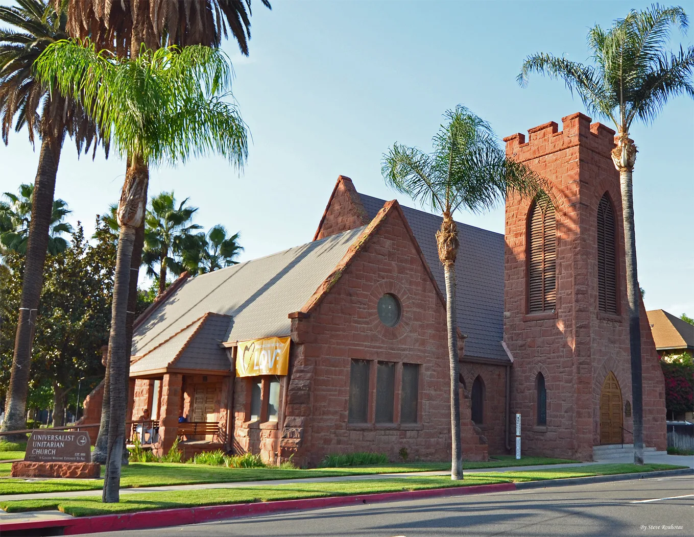
Universalist Unitarian Church of Riverside0.2 mi
Retail buildings nearby
Aurea Vista Hotel Building0.1 mi
YMCA Building0.2 mi
3646 Mission Inn Avenue0.3 mi
3700 Main Street0.3 mi
Public transit map Eastside Legend
| Railway | |
| Bus | |
| Streetcar |
Bicycle map Eastside Legend
| Bike path | |
| Bike lane on roadway | |
| Cycling allowed on bus lane | |
| Bicycle street | |
| Open to cyclists | |
| Open to cyclists, good path | |
| Cycling prohibited | |
| Cobblestone |
| Long-distance bike route | (depending on scale) | |
| Long-distance bike route |
Pedestrian map Eastside Legend
| Path |
| Long-distance hiking trail | (depending on scale) | |
| Long-distance hiking trail | ||
| Pedestrians prohibited |