
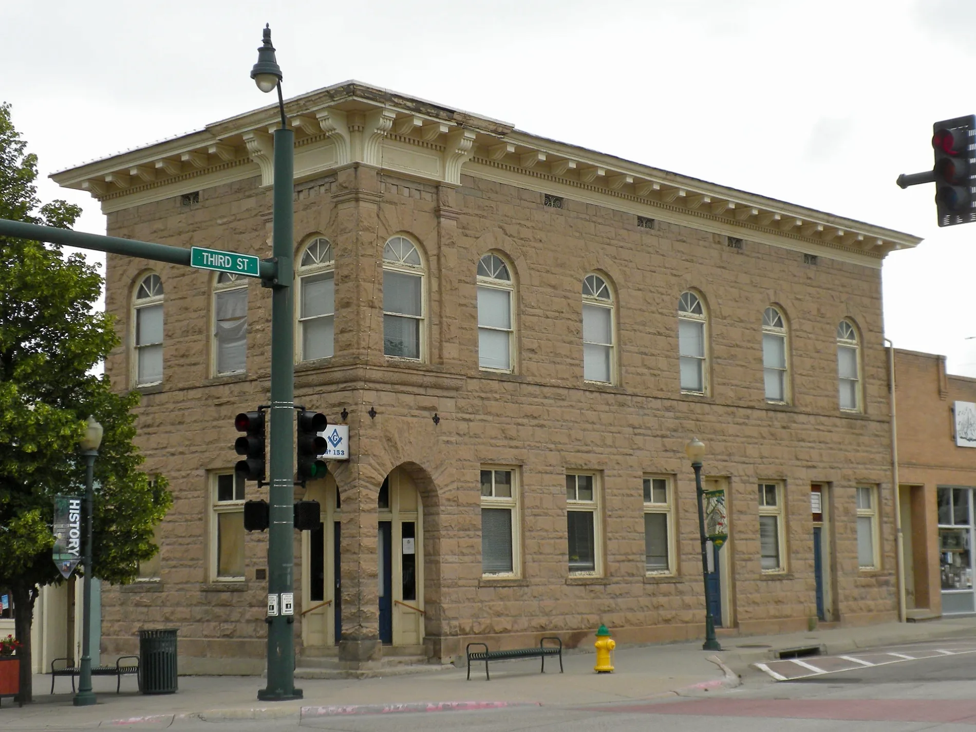
4th Street in Castle Rock, Colorado
4th Street in Castle Rock is a service road. It runs in an east-west direction starting from Elbert Street and crosses Jerry Street, North Wilcox Street and North Perry Street. Nearby you can find among others 2 clothing stores, 2 bars, 2 cafes and a computer store. 4th Street also exists in Jackson County, Routt County, Baca County, Bent County and Montezuma County.
- Road Type
- service road
- Route
- east-west
Image
Schools
Beauty salons
Clothing stores
Cafes
Streets nearby
Front StreetChuck & Don's Pet Food & Supplies, Discount Tire, Baskin-Robbins
0.1 mi
6th Street0.2 mi
North Lewis Street0.2 mi
Sellers Gulch Trail0.2 mi
North Cantril Street0.2 mi
1st Street0.2 mi
2nd Street0.3 mi
North Perry StreetLost Coffee, The Cake Company, Sienna, Castle Rock, The Emporium
0.3 mi
5th StreetCastle Rock Museum, Castle Valley Dental, Country Pedaler Bike Shop, Bobbin' Along
0.3 mi
5th Place0.3 mi
North Wilcox StreetGreat Divide Brewery, 7-Eleven, Crowfoot Valley Cafe & Crow Bar, Protech, Castle Rock Bank, Castle Rock Hormone Health, The Block & Bottle, Dos Santos
0.3 mi
South StreetScissors & Scotch, B’s Craft Deli & Market
0.3 mi
Anderson Street0.3 mi
North Gilbert Street0.3 mi
South Perry StreetStar Cleaners, Perry Point Liquor, Stumey's Pizzeria, Starbucks, Safeway
0.3 mi
South Lewis Street0.3 mi
Memmen Ridge TrailSouth Street Elementary School
0.3 mi
South Cantril Street0.3 mi
Vista Drive0.4 mi
Overlook Road0.4 mi
South Gilbert StreetMontessori School of Castle Rock, Faith Life Fellowship
0.4 mi
High Drive0.4 mi
Hillside Drive0.4 mi
Apartment buildings nearby
Riverwalk South0.2 mi
Beauty salons nearby
Wind & Water Salon0.1 mi
Buildings nearby
KC Mortgage LLC500 ft
CenturyLink0.1 mi
Iron Mule Brewery0.1 mi
Douglas County Motor Vehicle0.1 mi
Wild Blue Yonder Brewing Co.0.2 mi
Encore0.2 mi
Cafes nearby
Dazbog Coffee0.2 mi
Clothing stores nearby
Boho Boutique & Marketplace0.1 mi
Commercial buildings nearby
SmarterChaos.com0.1 mi
Ice rinks nearby
Rink at the Rock200 ft
Parks nearby
Festival Park0.2 mi
Centennial Park0.3 mi
Places of worship nearby
Eternal Rock Lutheran Church0.3 mi
Police stations nearby
Castle Rock Police Department0.2 mi
Railways nearby
UP Colorado Springs Subdivision0.1 mi
Restaurants nearby
Tamarind Indian Cuisine0.1 mi
Yolanda's Tacos0.1 mi
Retail buildings nearby
Sugar Spoon Candies500 ft
Sports fields nearby
Tennis Courts0.3 mi
Basketball0.3 mi
Streams nearby
Sellers Gulch0.3 mi
Supplement stores nearby
Castle Rock Nutrition0.1 mi
Swimming pools nearby
Centennial Park Pool0.3 mi
Town halls nearby
Castle Rock Town Hall0.2 mi
 Public transit map Castle Rock Legend
| Railway | |
| Bus | |
| Streetcar |
 Bicycle map Castle Rock Legend
| Bike path | |
| Bike lane on roadway | |
| Cycling allowed on bus lane | |
| Bicycle street | |
| Open to cyclists | |
| Open to cyclists, good path | |
| Cycling prohibited | |
| Cobblestone |
| Long-distance bike route | (depending on scale) | |
| Long-distance bike route |
 Pedestrian map Castle Rock Legend
| Path |
| Long-distance hiking trail | (depending on scale) | |
| Long-distance hiking trail | ||
| Pedestrians prohibited |