
Park Street in Castle Rock, Colorado
Park Street in Castle Rock is a two-lane local road. It runs in a north-south direction and crosses Park Court, Malibu Street, East Wolfensberger Road, 8th Street, Danny Street, Darren Street and Jason Street and ends at 5th Street, while the other end is a cul-de-sac. Nearby you can find among others 2 hair salons, 2 places of worship, a social facility and a pet grooming salon. Park Street also exists in Prowers County, Baca County, Las Animas County, Montezuma County and Clear Creek County.
- Road Type
- local road
- Lanes
- 2
- Route
- north-south
Image
Restaurants
Auto repair shops
Hair salons
Social facilities
Spice shops
Places of worship
Pet grooming salons
Electrical supply stores
Streets nearby
East Plum Creek Trail0.1 mi
Elbert Street0.1 mi
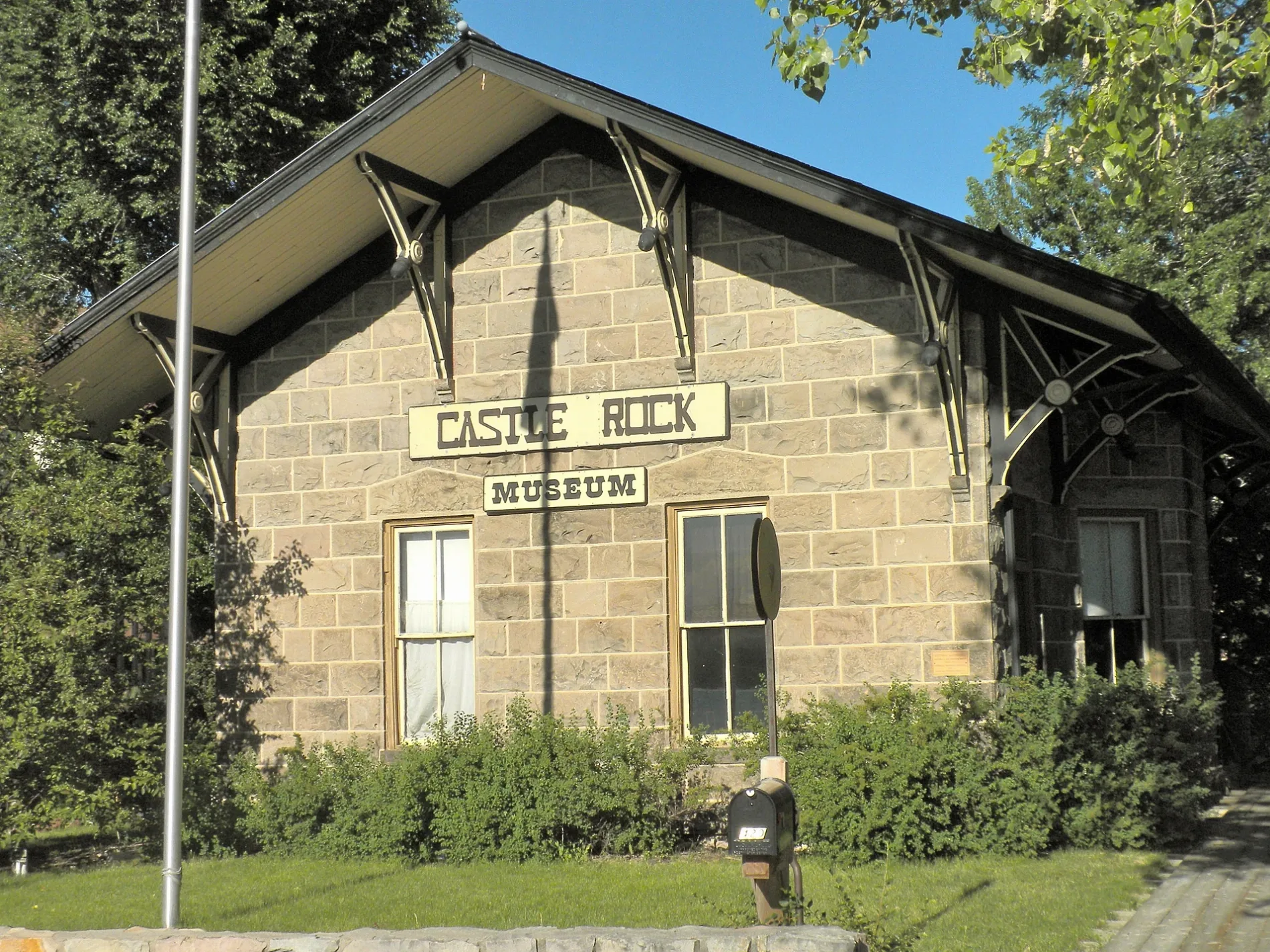
5th StreetCastle Rock Museum, Castle Valley Dental, Country Pedaler Bike Shop, Bobbin' Along
0.1 mi
Jason Street0.2 mi
4th StreetSalon on 4th, Next Door, Jack of All Macs, Cantril School, Haute Charisma, Branigan's Irish Pub, Miss M's Tea House, Castle Cafe, The Skin Company, Regina's Boutique
0.2 mi
Jerry StreetAngie's Restaurant, Hideaway Bar & Grill
0.2 mi
Darren Street0.2 mi
3rd StreetThe Barn - Antiques and Specialty Shops, Castle Rock Fire and Rescue Department - Station 151, The Mind Garden, Once upon a Horse, The Chapel
0.2 mi
Sam Hall Boulevard0.2 mi
Danny Street0.2 mi
8th Street0.3 mi
Topeka Way0.3 mi
Prairie Hawk DrivePediatric Denticare, 20 Mile Orthodontics, Front Range Retina, Orchard Med Spa, Meadows Familty Dentistry, Refresh Snoring & Sleep Apnea Center
0.3 mi
Kinner StreetSantiago's, Circle K, Burger King, Wendy's
0.4 mi
East Wolfensberger RoadKomo's Street Tacos, Christian Way School of Plum Creek, Shell, Circle K, Blue Rhino, Waffle House, McDonald's
0.4 mi
Atchison WayMil-Spec Liner of Douglas County, RVi
0.4 mi
Caprice DriveJack in the Box, The Old West Bar-B-Que
0.5 mi
Atchison Court0.5 mi
Malibu Street0.5 mi
Cherokee Mountain Road0.5 mi
Nemrick Place0.6 mi
Bennet Mountain Road0.6 mi
Lincoln Mountain Drive0.6 mi
Chimney Peak Drive0.6 mi
Red Peak Drive0.6 mi
Auto repair shops nearby
Wicked Collision Center0.3 mi
Michael's Auto Body0.3 mi
Buildings nearby
Phillip S. Miller Building0.2 mi
105 West Brewing Co0.5 mi
Public Safety Training Facility0.5 mi
Cafes nearby
Starbucks0.4 mi
Cemeteries nearby
Cedar Hill Cemetery0.4 mi
Churches nearby
Calvary Castle Rock0.5 mi
Fire stations nearby
Castle Rock Fire Department Training Center0.6 mi
Hardware stores nearby
Moore Lumber & Hardware0.5 mi
Harmony Railing0.6 mi
Hotels nearby
La Quinta Inn0.3 mi
Castle Inn0.4 mi
Industrial areas nearby
Westside Towing Inc0.4 mi
Liquor stores nearby
I-25 Liquors0.4 mi
Motels nearby
Super 80.4 mi
Places of worship nearby
The Connection Church of Nazarene0.6 mi
Railways nearby
BNSF Pikes Peak Subdivision350 ft
Residential areas nearby
Red Hawk Townhomes0.5 mi
Restaurants nearby
Guadalajara0.4 mi
Village Inn0.4 mi
Vehicle inspection stations nearby
Air Care Colorado - Castle Rock0.3 mi
Veterinary clinics nearby
Castle Rock Veterinary Clinic0.3 mi
Castle Rock Cat Hospital0.4 mi
 Public transit map Castle Rock Legend
| Railway | |
| Bus | |
| Streetcar |
 Bicycle map Castle Rock Legend
| Bike path | |
| Bike lane on roadway | |
| Cycling allowed on bus lane | |
| Bicycle street | |
| Open to cyclists | |
| Open to cyclists, good path | |
| Cycling prohibited | |
| Cobblestone |
| Long-distance bike route | (depending on scale) | |
| Long-distance bike route |
 Pedestrian map Castle Rock Legend
| Path |
| Long-distance hiking trail | (depending on scale) | |
| Long-distance hiking trail | ||
| Pedestrians prohibited |