
New Haven–Springfield Line in Windsor, Connecticut
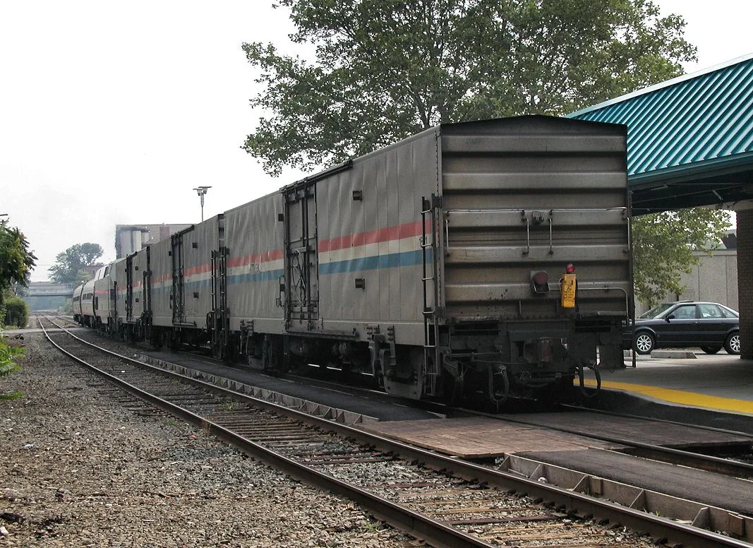
New Haven–Springfield Line in Windsor is a railway (Amtrak, 1435 mm, Main line). The train routes Vermonter, Valley Flyer, Northeast Regional and Hartford Line run here. New Haven–Springfield Line also exists in West Hartford, Newington, Hartford, New Britain and Windsor Locks. Ⓦ.
- Speed Limit
- 80 mph
- Operator
- Amtrak
Image
Public bookcases
Stations
- train routes Hartford Line, Northeast Regional, Valley Flyer, Vermonter
Computer stores
Bars
Community centers
Restaurants
Cafes
Hardware stores
Schools
Swap boxes
Hair salons
Fast food restaurants
Platforms
- train routes Hartford Line, Northeast Regional, Valley Flyer, Vermonter
Fire stations
Supermarkets
Museums
- Walter Fyler House Museum (Web) – approx. 0.5 mi.
Laundries
Streets nearby
Central StreetWindsor, Siam Corner Thai Kitchen & Pho
150 ft
Union StreetWindsor
400 ft
Broad StreetWindsor, Windsor Fire Marshal's Office, The Bean @226, Tulsi, Ace Hardware Winsdor, Likkle Patty Shop, PC Development Group, Dom's Broad St Eatery, Hairdresser On Fire
500 ft
Maple Avenue550 ft
Windsor Station Drive0.1 mi
Windsor Center River Trail0.1 mi
Upper Broad Street0.1 mi
Mechanic StreetBroad Street Green Historic District
0.1 mi
Prospect Street0.2 mi
Windsor River Trail0.2 mi
Phelps Street0.2 mi
Bloomfield AvenueSunoco, Windsor Police, McDonald's, Mobil
0.2 mi
Court StreetHair & Nail Gallery By Darlene
0.2 mi
Elm Street0.2 mi
Brown Avenue0.2 mi
Palisado AvenueBARTS burgers, Palisado Avenue Historic District
0.2 mi
Batchelder Road0.3 mi
Dorchester Drive0.3 mi
Spring Street0.3 mi
Elm Court0.3 mi
Sycamore Street0.3 mi
Green Street0.4 mi
Poquonock AvenueJim's Pizzaria, Tobacco Shed bar, WebsterBank, Bear's Smokehouse Barbecue, China Sea, Poquonock Post Office, Smoke Shop, Mahaney's, Ashley Beauty, Trendsetters, Buddy's Mini Mart, Dunkin', Mobil, Whole Deli, Windsor Pickle Deli, Best Dry Cleaner, Winloft Too, Pizza Rama, Subway
0.4 mi
Loomis Avenue0.4 mi
Stinson Place0.4 mi
Hayden Avenue0.4 mi
Hayden CourtHayden School
0.4 mi
Sycamore Circle0.4 mi
Welch Avenue0.4 mi
Ridgewood Road0.5 mi
Filley Street0.5 mi
Remington Road0.5 mi
Olin Street0.6 mi
Buildings nearby
Windsor Train Station100 ft
Parking Garage400 ft
Windsor Steak & Seafood BBQ0.2 mi
Windsor Housing Authority0.5 mi
Commercial buildings nearby
Happy Cat Hotel & Spa0.5 mi
Galleries nearby
Windsor Art Center200 ft
Libraries nearby
Windsor Public Library0.2 mi
Pharmacies nearby
CVS Pharmacy350 ft
Places of worship nearby
Grace Episcopal Church0.2 mi
Saint Gabriel Church0.3 mi
Post offices nearby
Windsor Post Office300 ft
Railways nearby
Hartford Division350 ft
Rivers nearby
Farmington River0.3 mi
Streams nearby
Mill Brook0.3 mi
Town halls nearby
Windsor Town Hall0.1 mi
Waters nearby
Loomis Pond0.4 mi
| Official opening | 1844 |
|---|---|
| Length | 99.8 |
| Located in | Connecticut, Massachusetts |
| Country | United States |
| Part of | Amtrak |
 Public transit map Windsor Legend
| Railway | |
| Bus | |
| Streetcar |
 Bicycle map Windsor Legend
| Bike path | |
| Bike lane on roadway | |
| Cycling allowed on bus lane | |
| Bicycle street | |
| Open to cyclists | |
| Open to cyclists, good path | |
| Cycling prohibited | |
| Cobblestone |
| Long-distance bike route | (depending on scale) | |
| Long-distance bike route |
 Pedestrian map Windsor Legend
| Path |
| Long-distance hiking trail | (depending on scale) | |
| Long-distance hiking trail | ||
| Pedestrians prohibited |