
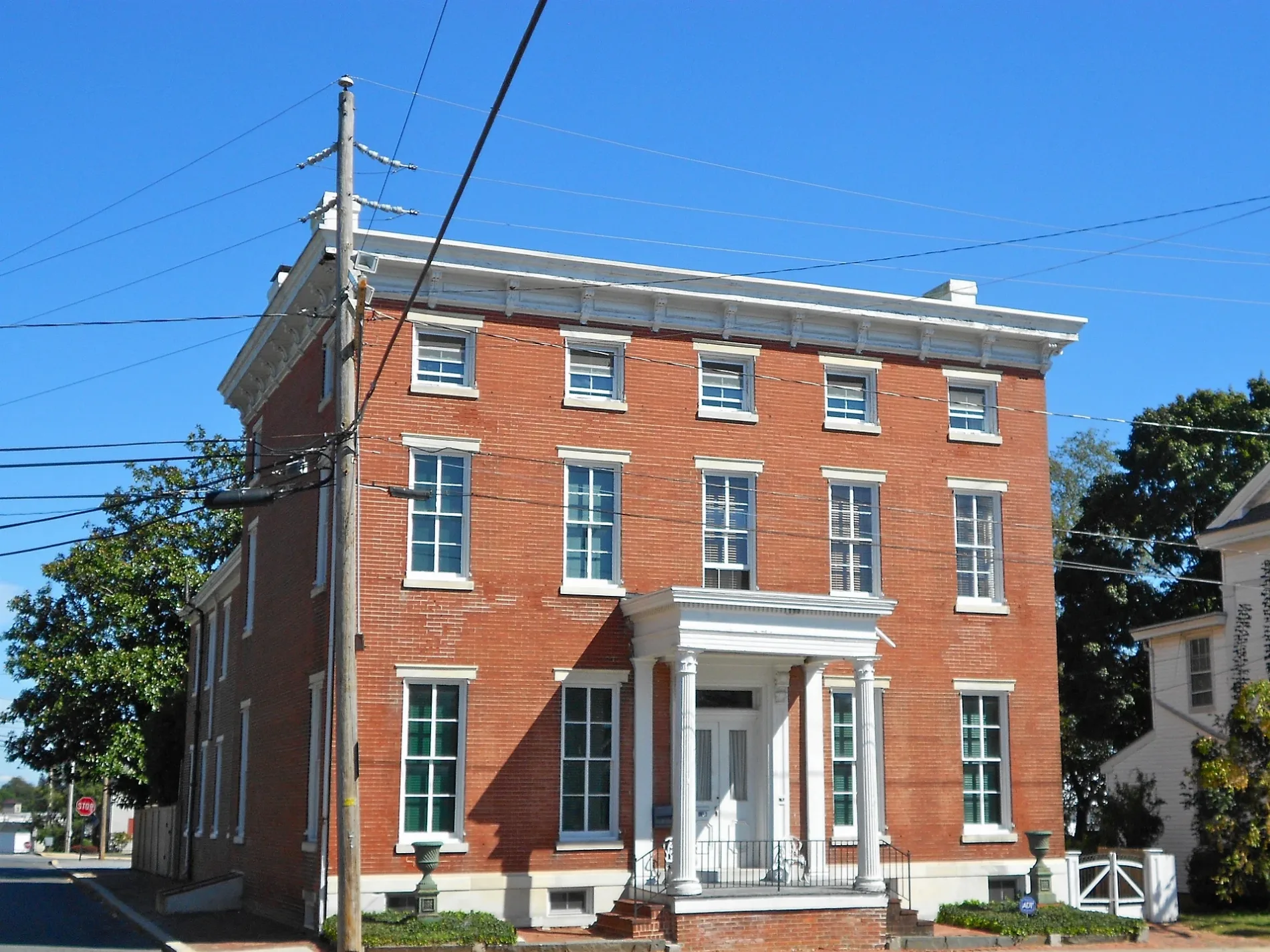
North Washington Street in Milford, Delaware
North Washington Street in Milford is a residential street and crosses a bridge. It runs in a north-south direction starting from North Rehoboth Boulevard and crosses Northeast 9th Street, Northeast 8th Street, Northeast 7th Street, Northeast 6th Street, Dorsey Lane, Northeast 5th Street, Northeast 4th Street, Northeast 2nd Street, Northeast Front Street and Park Avenue and ends at South Washington Street.
- Road Type
- residential street
- Route
- north-south
Image
Fast food restaurants
Pastry shops
Supermarkets
Craft stores
Auto parts stores
Pharmacies
Places of worship
Video game stores
Town halls
Variety stores
Clothing stores
Cafes
Restaurants
Banks
Galleries
Police stations
Hardware stores
Hair salons
Cell phone stores
Streets nearby
South Washington Street50 ft
Park AvenueMispillion Art League
300 ft
Denny Row350 ft
Pearl Alley400 ft
Southeast Front Street500 ft
North Walnut StreetMilford Church of God, Dolce Bakery and Coffee Shop, Red Bandana
550 ft
South Walnut StreetMilford City Hall
0.1 mi
North Street0.2 mi
Southwest Front StreetMy Sister’s Fault
0.2 mi
East Street0.2 mi
Ball Park Lane0.2 mi
Northeast 2nd Street0.2 mi
North Church StreetAvenue United Methodist Church, Christ Episcopal Church
0.2 mi
Northwest 2nd Street0.2 mi
Barker Street0.2 mi
South Church Street0.3 mi
South Maple Avenue0.3 mi
Northwest 3rd Street0.3 mi
Causey Avenue0.3 mi
Mispillion RiverwalkArenas Deli and Bar, Milford
0.3 mi
Shawnee Road0.3 mi
Northwest Front StreetCitizens Bank
0.3 mi
Mill Street0.3 mi
West Street0.3 mi
Northwest 4th Street0.3 mi
Maple Avenue0.3 mi
Jefferson Avenue0.3 mi
Corn Cob Alley0.4 mi
Truitt Avenue0.4 mi
Silver Hill0.4 mi
Northwest 5th Street0.4 mi
Buildings nearby
Milford City Hall0.2 mi
Cafes nearby
The Well CoffeeHouse200 ft
Dams nearby
Silver Lake Dam - Milford0.3 mi
Gardens nearby
Senior Center Meditation Garden250 ft
Ice cream shops nearby
North Pole Creamery350 ft
Libraries nearby
Milford Public Library250 ft
Liquor stores nearby
Upton Liquors0.1 mi
Parks nearby
Library Portico and Amphitheater Park400 ft
BIcentennial Greenway450 ft
Milford Riverfront Theatre550 ft
City Hall Park0.1 mi
Places of worship nearby
Avenue United Methodist Church0.2 mi
Post offices nearby
United States Postal Service0.3 mi
Public buildings nearby
Customer Service0.1 mi
Retail areas nearby
Riverwalk Center at Milford0.2 mi
Rivers nearby
Mispillion River0.2 mi
Stations nearby
Historic Milford Railroad Station0.3 mi
Thrift stores nearby
God's Way Thrift Store0.3 mi
Public transit map Milford Legend
| Railway | |
| Bus | |
| Streetcar |
Bicycle map Milford Legend
| Bike path | |
| Bike lane on roadway | |
| Cycling allowed on bus lane | |
| Bicycle street | |
| Open to cyclists | |
| Open to cyclists, good path | |
| Cycling prohibited | |
| Cobblestone |
| Long-distance bike route | (depending on scale) | |
| Long-distance bike route |
Pedestrian map Milford Legend
| Path |
| Long-distance hiking trail | (depending on scale) | |
| Long-distance hiking trail | ||
| Pedestrians prohibited |