
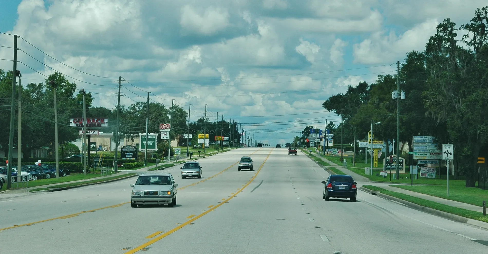
Gulf to Lake Highway in Inverness, Florida
Gulf to Lake Highway in Inverness is a two-lane, asphalted main road (Road number FL 44). The street has partly a sidewalk as well as bike paths (separated bike path). It runs in a southeast-northwest direction and crosses Independence Highway, Crystal Boulevard, Kim Avenue, Harriet Drive, North Central Avenue, Colonade Street, Richards Street, Forest Drive, Main Street and Pleasant Grove Road. This street is part of the highway "44". Nearby you can find a car wash and a pawn shop.
- Road Type
- main road
- Lanes
- 5
- Speed Limit
- 45 mph
- Route
- southeast-northwest
Image
Streets nearby
Richards Street300 ft
Silverwood Street0.1 mi
West Main Street0.1 mi
Country Walk0.2 mi
Colonade StreetEveryone's Massage Therapy Services
0.2 mi
Main StreetCulver's, Chili's, Panera Bread, Pizza Hut, AutoZone, Joe's
0.3 mi
Heights Avenue0.3 mi
Kimberly Lane0.3 mi
Shepard Street0.4 mi
Tuttle Street0.4 mi
Carter Street0.4 mi
Hugo Street0.4 mi
Forest Drive0.4 mi
Kirt Street0.4 mi
Colby Street0.4 mi
Harriet Drive0.4 mi
North Central Avenue0.4 mi
Arrowood Lane0.4 mi
Crestview Avenue0.5 mi
Crossleaf Lane0.5 mi
Coralberry Lane0.5 mi
South Central Avenue0.5 mi
Whispering Pines Boulevard0.5 mi
South Boulevard0.5 mi
Poinsettia Avenue0.5 mi
Juneberry Lane0.6 mi
Pleasant Grove Road0.6 mi
Wilda Avenue0.6 mi
Orvista Circle0.6 mi
Langley Street0.6 mi
Elderberry Lane0.6 mi
Longwood Avenue0.6 mi
Hiawatha Avenue0.6 mi
Montgomery Avenue0.7 mi
West Highland Boulevard0.7 mi
Sterling Road0.7 mi
Camellia Avenue0.7 mi
Tina Avenue0.8 mi
Druid Road0.8 mi
Hendrix Avenue0.8 mi
West Dampier StreetWithlacoochee Area Vocational-Technical Center
0.8 mi
South Montgomery Avenue0.8 mi
Buildings nearby
Whispering Pines Park Pool0.7 mi
Fast food restaurants nearby
Long John Silver's0.7 mi
Post offices nearby
Inverness US Post Office0.7 mi
Restaurants nearby
Applebee's0.2 mi
Outback Steakhouse0.3 mi
Supermarkets nearby
Winn-Dixie0.6 mi
Publix0.7 mi
Public transit map Inverness Legend
| Railway | |
| Bus | |
| Streetcar |
Bicycle map Inverness Legend
| Bike path | |
| Bike lane on roadway | |
| Cycling allowed on bus lane | |
| Bicycle street | |
| Open to cyclists | |
| Open to cyclists, good path | |
| Cycling prohibited | |
| Cobblestone |
| Long-distance bike route | (depending on scale) | |
| Long-distance bike route |
Pedestrian map Inverness Legend
| Path |
| Long-distance hiking trail | (depending on scale) | |
| Long-distance hiking trail | ||
| Pedestrians prohibited |