
Hickman Drive in Athens, Georgia
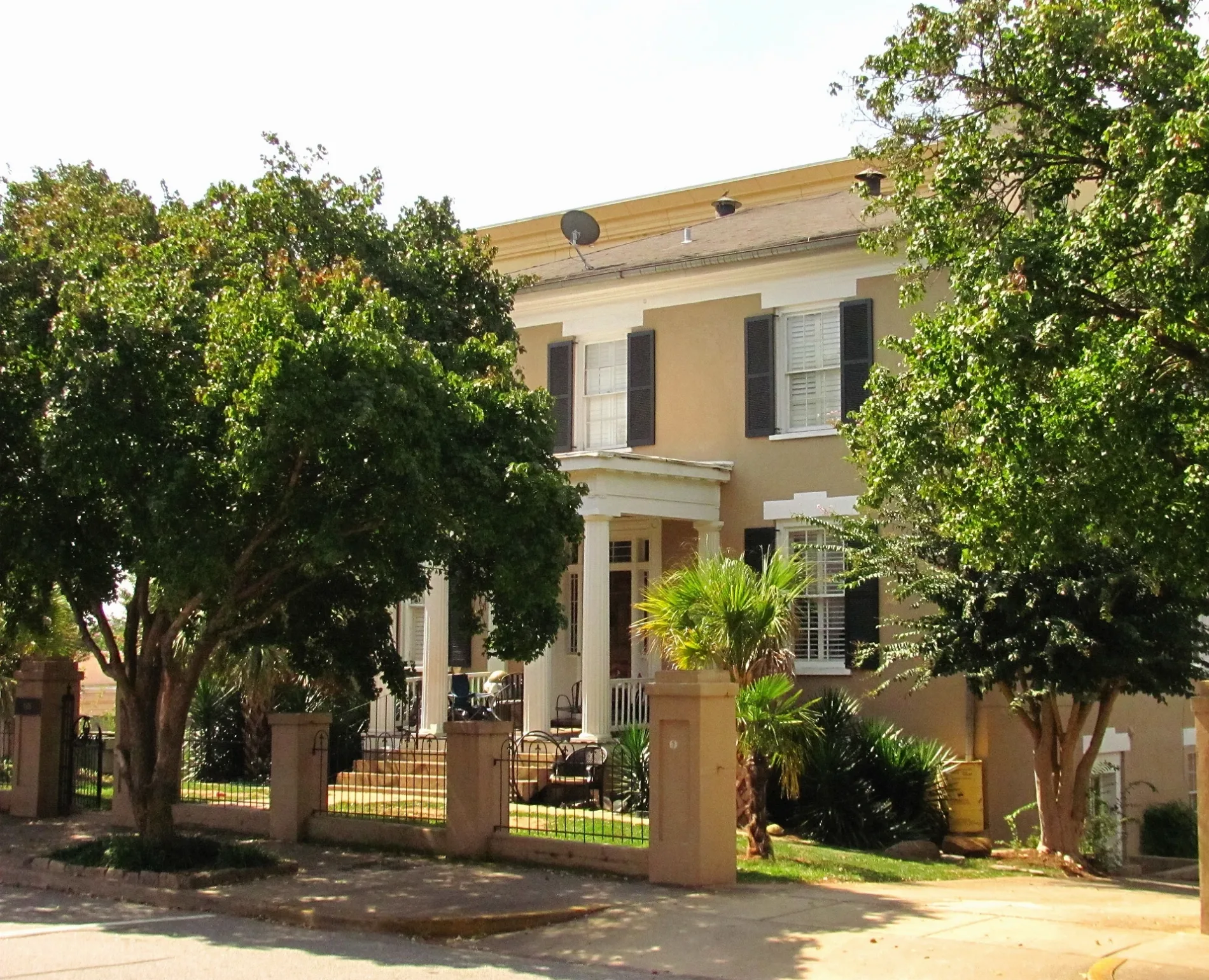
Hickman Drive in Athens is a service road. It runs in an east-west direction starting from North Lumpkin Street and ends at College Avenue.
- Road Type
- service road
- Route
- east-west
Image
Artworks
Places of worship
Convenience stores
Cafes
Bars
Hair salons
Movie theaters
Restaurants
Bus stops
Event venues
Stationery stores
Streets nearby
East Dougherty Street1000 Faces Coffee
400 ft
West Dougherty StreetAthens Blueprint & Copy Shop, Live Wire Athens, Dougherty Street at Hull Street, 227 West Dougherty Street
400 ft
Strong Street450 ft
Madison AvenueCentral Baptist Church
0.1 mi
North Hull StreetManhattan Cafe, Little Kings Shuffle Club, Dawg Gone Good BBQ, The World Famous, Brown’s Barber Shop, Wilson's His & Hers Styling Shop, Morton Theater, Blair’s Belts, Tame Style Bar, Five Bar, DressUp
0.1 mi
Hoyt StreetRobo Dawg, The Foundry
0.2 mi
State Street0.2 mi
College AvenueWalker's Coffee and Pub, The Grill, Ben & Jerry's, Arden’s Garden, Marvin's Shoe Service, Vape Dynamics, Pageboy Salon, The Clubhouse, Gyro Wrap, College Square, The Silver Dollar Bar, Athens-Clarke County Police Downtown Substation, OK! Coffee, City Bar, SandBar
0.2 mi
Monroe Street0.2 mi
West Hancock AvenueDowntown Dawg, Frogger, Chandelier, The National, Ciné, Biotest Dawg, Honey Comb, J.C. Laundry, Creature Comforts
0.2 mi
Meigs StreetTapped Athens, Athens Area Vocational School, Big City Bread Cafe
0.3 mi
North Newton Street0.3 mi
Ware StreetLife Church of Athens
0.3 mi
Pulaski Heights TrailGraffiti Bridge
0.3 mi
Childs Street0.3 mi
Pulaski Heights0.3 mi
Barrow Street0.3 mi
Prince AvenuePrince Avenue at Childs Street, Labels Resale Boutique, Prince Aveue @ Park Avenue, Athens Regional Medical Center, 2000 Prince Ave, Prince Avenue and Sunset Drive Inbound, Taziki's Mediterranean Cafe, Hendershot’s, Pretty Boy, Little Free Library, Seabear Oyster Bar, Blüm Nail Bar, Poquitos, Emmy Squared Pizza, Athens Cooks, Prince Market, Yossi Kitchen, 1490 Prince Avenue, Health Sciences Campus (Prince Avenue), Petals on Prince, The Lark, Prince Avenue @ Chase Street (to main campus), Georgia Power Dawg, Prince Avenue @ Chase Street (to HSC), Prince Avenue at Pulaski Street, Farm Burger, 347 Prince Avenue, Revival Yarns, Prince Avenue @ Milledge Avenue (to main campus), Prince Avenue @ Milledge Avenue (to Health Sciences), The Sparrow's Nest, Piedmont College, Prince Avenue at Grady Avenue, Tribe Hair Co., Care Medical, Normaltown, 1650 Prince Avenue, Prince Aveue @ King Avenue, Prince Avenue @ Nacoochee Avenue, Nacoochee Avenue, The Flying Biscuit Cafe, Barberitos, Daily Groceries Co-Op, 1390 Prince Avenue, Lucky Cobra Tattoo, Normal Bar, Reboot Computer, Normal Hardware, Fully Loaded Pizza, Hi-Lo Lounge, The Old Pal, Prince Aveue @ Georgia Avenue, Agua Linda, Chispa House, Marti's at Midday, Sam's, 2090 Prince Ave
0.3 mi
Pulaski StreetThe Rook & Pawn
0.3 mi
Barber StreetBarber at Prince Avenue Inbound, Bobby Snipes Building Outbound, Barber Street at Cleveland Avenue Outbound, Buvez!, State, Athens Area Emergency Food Bank, Barber and Boulevard Outbound, 140 Barber Street
0.3 mi
Hendrix Ave0.4 mi
Apartment buildings nearby
Uncommon350 ft
One Hundred Prince0.2 mi
Banks nearby
Synovus0.1 mi
Buildings nearby
Ware-Lyndon House0.2 mi
CSX Athens Depot0.3 mi
Car washes nearby
Kwik Car Wash0.3 mi
Chapels nearby
The Chapel Athens0.2 mi
Clinics nearby
Athens Neighborhood Health Center550 ft
Clothing stores nearby
Half Moon Outfitters0.3 mi
Commercial buildings nearby
The Leathers Building0.4 mi
Community centers nearby
Athens Community Council on Aging0.2 mi
Convenience stores nearby
Costa de Jalisco0.3 mi
Fire stations nearby
Fire Station #10.1 mi
Hotels nearby
Hotel Indigo550 ft
Office buildings nearby
Dougherty Street Government Building400 ft
Jessie B. Denney Tower0.1 mi
Athens Area Chamber of Commerce0.2 mi
Chastain Building0.2 mi
Parks nearby
Boulevard Woods0.4 mi
Places of worship nearby
First African Methodist Episcopal Church500 ft
First Christian Church0.2 mi
First Baptist Church0.3 mi
Public buildings nearby
United States Post Office and Court House0.1 mi
Railways nearby
CSX Abbeville Subdivision0.3 mi
Residential areas nearby
Bethel Midtown Village450 ft
The Lofts0.3 mi
Restaurants nearby
Taqueria del Sol0.3 mi
Veterinary clinics nearby
Boulevard Animal Hospital0.3 mi
 Public transit map Athens Legend
| Railway | |
| Bus | |
| Streetcar |
 Bicycle map Athens Legend
| Bike path | |
| Bike lane on roadway | |
| Cycling allowed on bus lane | |
| Bicycle street | |
| Open to cyclists | |
| Open to cyclists, good path | |
| Cycling prohibited | |
| Cobblestone |
| Long-distance bike route | (depending on scale) | |
| Long-distance bike route |
 Pedestrian map Athens Legend
| Path |
| Long-distance hiking trail | (depending on scale) | |
| Long-distance hiking trail | ||
| Pedestrians prohibited |