
South Hull Street in Athens, Georgia
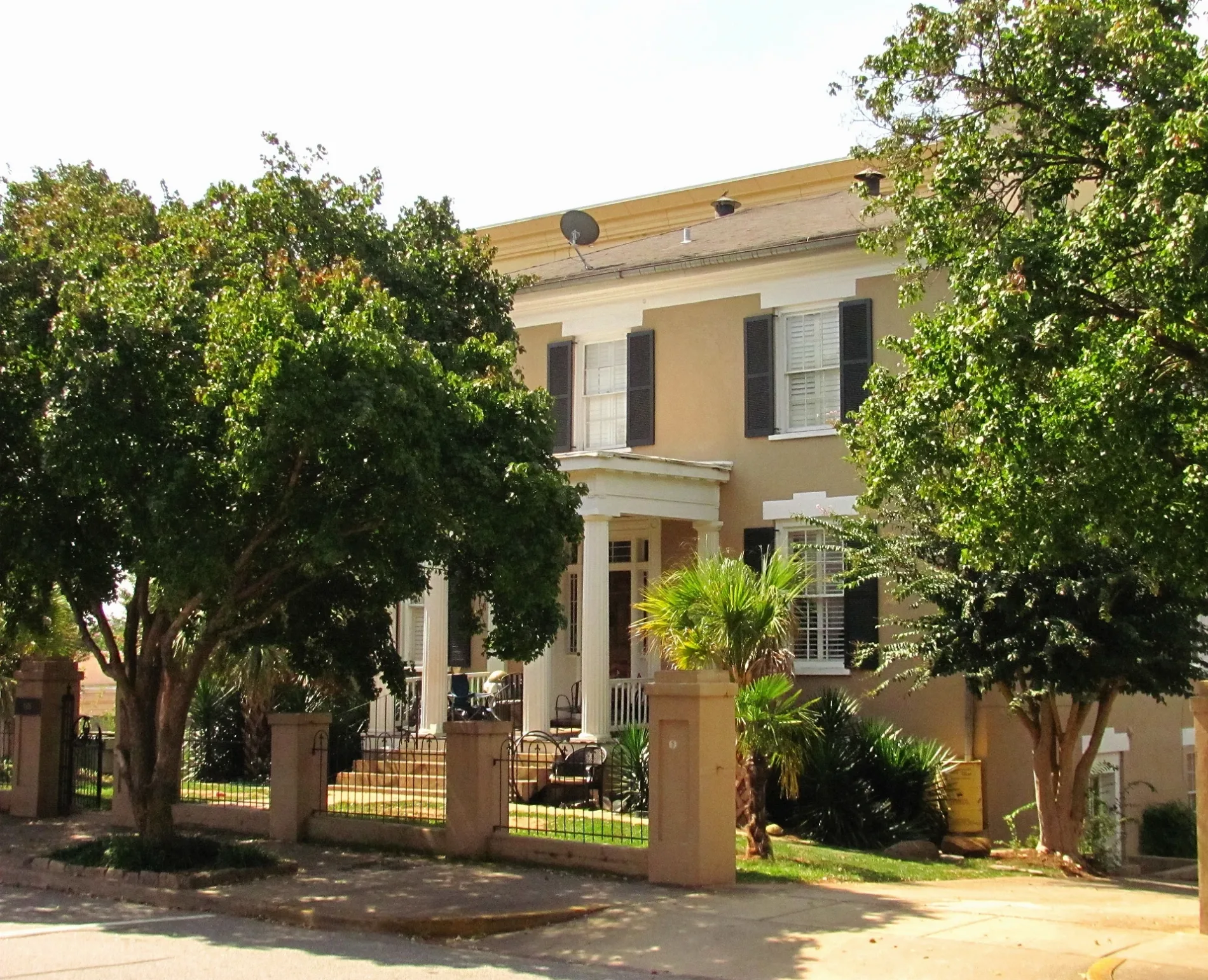
South Hull Street in Athens is a two-lane, asphalted unclassified road. The street has bike paths (bike lane). It runs in a north-south direction starting from North Hull Street and crosses West Broad Street and Wray Street and ends at Waddell Street. Nearby you can find among others an artwork, a charging station and a cafe. The nearest stops are Special Collections Library and Hull Street and Baxter Street Inbound. The bus lines 5, 6 and 20 serve this stop. South Hull Street also exists in Screven County.
- Road Type
- unclassified road
- Lanes
- 2
- Route
- north-south
Image
Bus stops
- bus lines 5, 6, 20
Cafes
Streets nearby
Florida Avenue0.2 mi
Pulaski StreetThe Rook & Pawn
0.2 mi
South Newton Street0.2 mi
North Newton Street0.2 mi
Weir Circle0.2 mi
Dearing Street0.3 mi
South Finley StreetTree That Owns Itself
0.3 mi
Judy Circle0.3 mi
South Pope Street0.3 mi
Waddell Street0.4 mi
Buildings nearby
Interior Design Studios0.1 mi
Environmental Design Studios0.1 mi
Drawing & Painting Studios0.1 mi
Facilities Management North0.1 mi
District Energy Plant #10.2 mi
Cobb-Jackson-Ward-Erwin House0.3 mi
Rowland House0.3 mi
Churches nearby
Student Station0.1 mi
Convenience stores nearby
Bulldog Corner0.4 mi
Dormitories nearby
Morris Hall0.1 mi
Mell Hall0.3 mi
Gas stations nearby
Marathon0.4 mi
Hotels nearby
SpringHill Suites Athens Downtown/University Area300 ft
Georgia Gameday Center0.2 mi
Holiday Inn Express0.2 mi
Libraries nearby
Richard B. Russell Special Collections Library0.1 mi
Parking lots nearby
Hull Street Parking Deck0.2 mi
Places of worship nearby
Baptist Collegiate Ministries0.2 mi
Redeemer Presbyterian Church0.2 mi
Hillel UGA0.4 mi
Residential areas nearby
Parkview Homes0.2 mi
Rambler0.3 mi
Restaurants nearby
Chuck's Fish0.1 mi
Single-family houses nearby
Latin American and Caribbean Studies Institute, Portugese Flagship Program, and Institute of Native American Studies150 ft
Wray-Nicholson House250 ft
UGA Internal Auditing Division250 ft
Wray-Nicholson Property 150300 ft
Wray-Nicholson Property 154400 ft
UGA Office of Government Relations450 ft
Dominie House0.3 mi
Park-Soule House0.3 mi
Pond-Abney House0.3 mi
Booth-Bair House0.3 mi
Meeker-Pope-Barrow House0.3 mi
Hutchins-Paddock Cottage0.3 mi
University buildings nearby
Correll Hall0.2 mi
Moore-Rooker Hall0.2 mi
Sanford and Barbara Orkin Hall0.2 mi
Amos Hall0.2 mi
Public transit map Athens Legend
| Railway | |
| Bus | |
| Streetcar |
Bicycle map Athens Legend
| Bike path | |
| Bike lane on roadway | |
| Cycling allowed on bus lane | |
| Bicycle street | |
| Open to cyclists | |
| Open to cyclists, good path | |
| Cycling prohibited | |
| Cobblestone |
| Long-distance bike route | (depending on scale) | |
| Long-distance bike route |
Pedestrian map Athens Legend
| Path |
| Long-distance hiking trail | (depending on scale) | |
| Long-distance hiking trail | ||
| Pedestrians prohibited |