
South Lumpkin Street in Athens, Georgia
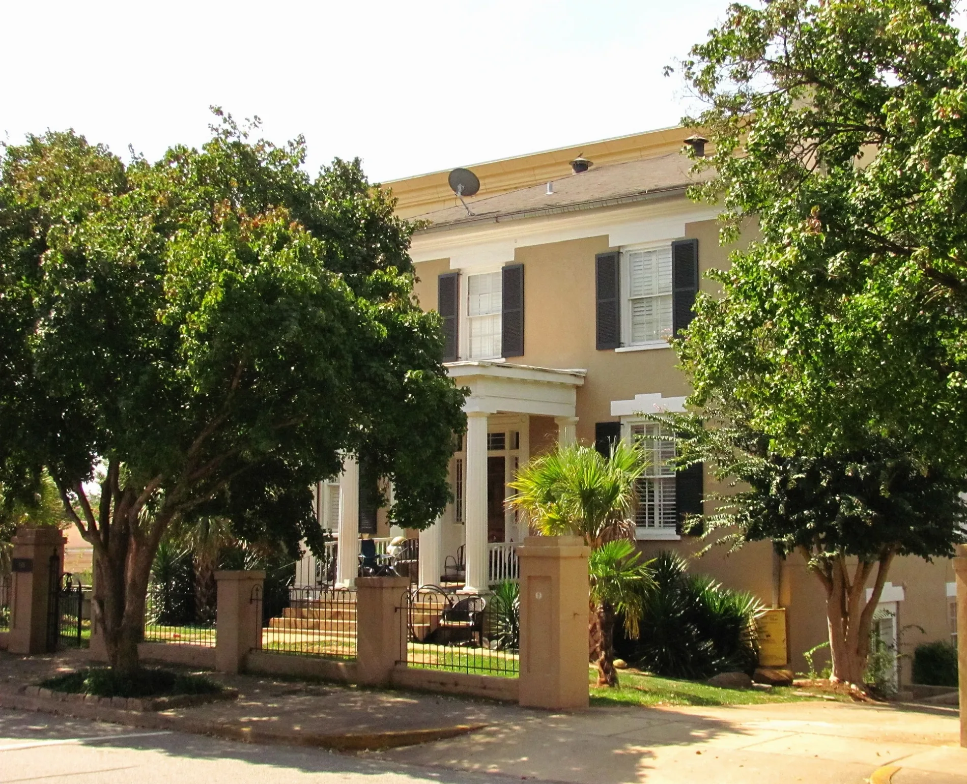
South Lumpkin Street in Athens is a three-lane, asphalted secondary road. The street has bike paths (bike lane). It runs in a north-south direction starting from North Lumpkin Street and crosses East Broad Street, West Broad Street, Bocock Street, Wray Street, Baldwin Street, Baxter Street, Cedar Street, University Court, Green Street, Carlton Street and Smith Street. It ends in a cul-de-sac. This street is part of the Bicycle route "US:GA 60". Nearby you can find among others 5 restaurants, 2 clothing stores, a tourist information and a game store. The nearest stops include Correll Hall, Lumpkin Street at Wray Street, Five Points Outbound, Princeton United Methodist Church Outbound and Lumpkin Street @ Rutherford Street (to Five Points). The bus lines 5, 6, 9, 12, 14, 20 and 28 serve this stop. South Lumpkin Street also exists in Walton County and Pulaski County.
- Road Type
- secondary road
- Lanes
- 2
- Speed Limit
- 30 mph
- Route
- north-south
Image
Tourist information centers
Florists
Veterinary clinics
Bakeries
Clothing stores
Bookstores
Bus stops
- bus lines 5, 6, 9, 12, 14, 20, 28
Restaurants
Game stores
Pharmacies
Antique stores
Hair salons
Chocolate shops
Supermarkets
Streets nearby
Wray StreetDormitories nearby
Morris HallLibraries nearby
Richard B. Russell Special Collections LibraryParks nearby
Herty FieldPlaces of worship nearby
Baptist Collegiate MinistriesSingle-family houses nearby
Wray-Nicholson Property 150University buildings nearby
Garden Club of Georgia| Railway | |
| Bus | |
| Streetcar |
| Bike path | |
| Bike lane on roadway | |
| Cycling allowed on bus lane | |
| Bicycle street | |
| Open to cyclists | |
| Open to cyclists, good path | |
| Cycling prohibited | |
| Cobblestone |
| Long-distance bike route | (depending on scale) | |
| Long-distance bike route |
| Path |
| Long-distance hiking trail | (depending on scale) | |
| Long-distance hiking trail | ||
| Pedestrians prohibited |