
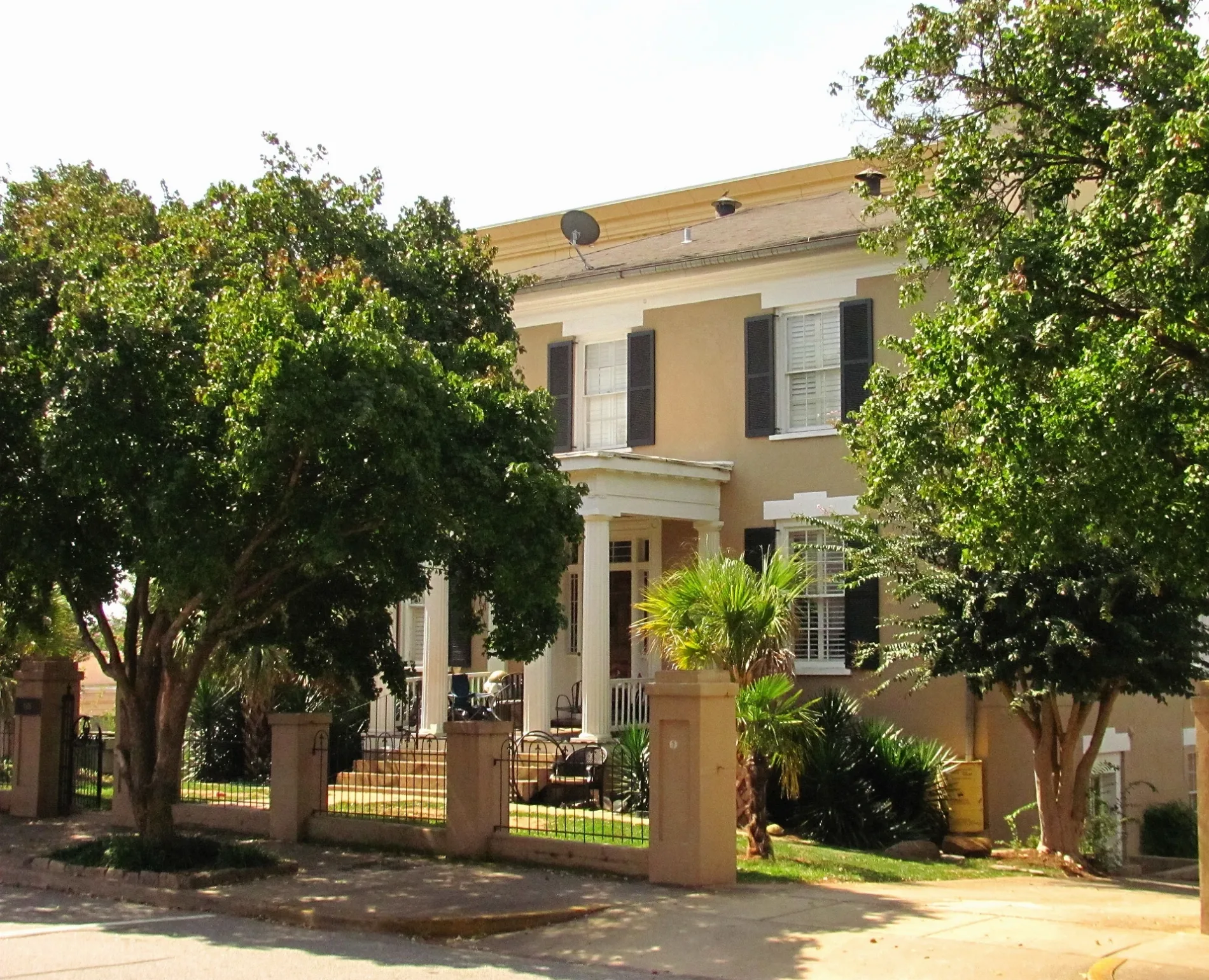
Wray Street in Athens, Georgia
Wray Street in Athens is a two-lane unclassified road. It runs in a northeast-southwest direction and crosses South Hull Street, Bocock Street and South Lumpkin Street. It ends in a cul-de-sac. Wray Street also exists in Houston County.
- Road Type
- unclassified road
- Lanes
- 2
- Route
- northeast-southwest
Bus stops
- bus lines 5, 6, 20
Pharmacies
Supermarkets
Attractions
Artworks
Fast food restaurants
Clothing stores
Bars
Streets nearby
Bocock Street100 ft
South Lumpkin StreetSouth Lumpkin Street at 2136 South Lumpkin Street Outbound, Birchmore Trail at Memorial Park, Correll Hall, Lumpkin Street at Wray Street, ZZ & Simone's, Five Points, Tyche's Games, Brett Glenn Floral Design, ADD Drug, Animal Eye Care Clinic, Doma, Independent Baking Company, Panache Hair Designs, Suska, LRG Provisions, South Lumpkin Street at West Lake Drive Outbound, South Lumpkin Street at Westview Drive Outbound, Five Points Outbound, J. Christopher’s, Condor Chocolates, Avid Bookshop, Earth Fare, Princeton United Methodist Church Outbound, South Lumpkin Street at Cemetery Outbound, Lumpkin Street @ Rutherford Street (to Five Points), South Lumpkin Street at West Rutherford Street Outbound, Gilbert Hall, Hoke-Smith Annex Inbound, 1250 South Lumpkin Outbound, Presbyterian Center, Mediterranean Grill, Smoothie King, Rutherford Street (Lumpkin to Campus), South Lumpkin Street at Rutherford Street Inbound, Emacity Boutique, Sonder Aesthetica, South Lumpkin at Woodrow Outbound, Billy & Beau's Coffee, South Lumpkin Street at Riverview Outbound, South Lumpkin Street at Old Princeton Road Outbound, Princeton, Baddies
400 ft
North Herty Drive450 ft
Herty DriveBernard Ramsey
550 ft
Baldwin StreetMillion Dollar Staircase
0.2 mi
South Jackson StreetUGA Main Library, UGA Human Resources, Magnolia's, Terrell Archie Jackson
0.2 mi
South Herty Drive0.2 mi
Williams Family Plaza0.2 mi
Chapels nearby
UGA Chapel0.1 mi
Dormitories nearby
Morris Hall0.1 mi
Gift shops nearby
University of Georgia Bookstore0.3 mi
Libraries nearby
UGA Main Library0.2 mi
Parks nearby
Herty Field450 ft
Franklin Quad0.1 mi
South Quad0.2 mi
Places of worship nearby
Baptist Collegiate Ministries0.2 mi
Single-family houses nearby
Bishop House0.2 mi
University buildings nearby
Gilbert Hall150 ft
Candler Hall300 ft
Hosch Law Library Annex300 ft
Denmark Hall350 ft
Garden Club of Georgia400 ft
Caldwell Hall500 ft
Garden Club Annex500 ft
Moore Hall550 ft
New College0.1 mi
Alexander Campbell King Law Library0.1 mi
Joseph E. Brown Hall0.1 mi
Hirsch Hall0.1 mi
Sanford Hall0.1 mi
Old College0.1 mi
Dean Rusk Hall0.1 mi
Lustrat House0.2 mi
Waddel Hall0.2 mi
Robert E. Park Hall0.2 mi
Administration Building0.2 mi
Peabody Hall0.2 mi
Correll Hall0.2 mi
Military Building Army ROTC0.2 mi
Fine Arts Scenery Workshop0.2 mi
LeConte Hall0.2 mi
Benson Hall0.2 mi
Fine Arts Building0.2 mi
Jackson Street Building0.2 mi
Zell B. Miller Student Learning Center0.2 mi
Journalism Building0.2 mi
Baldwin Hall0.3 mi
Psychology Building0.3 mi
Memorial Hall0.3 mi
 Public transit map Athens Legend
| Railway | |
| Bus | |
| Streetcar |
 Bicycle map Athens Legend
| Bike path | |
| Bike lane on roadway | |
| Cycling allowed on bus lane | |
| Bicycle street | |
| Open to cyclists | |
| Open to cyclists, good path | |
| Cycling prohibited | |
| Cobblestone |
| Long-distance bike route | (depending on scale) | |
| Long-distance bike route |
 Pedestrian map Athens Legend
| Path |
| Long-distance hiking trail | (depending on scale) | |
| Long-distance hiking trail | ||
| Pedestrians prohibited |