
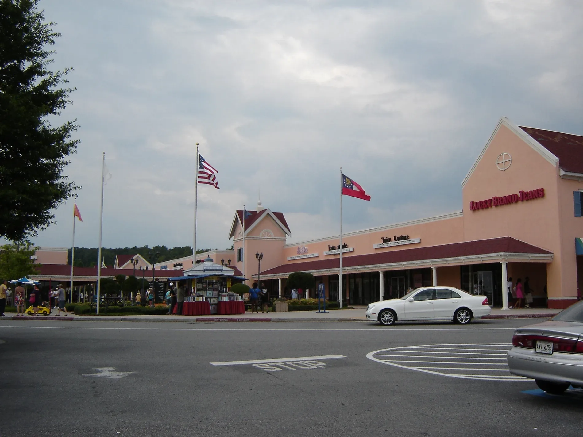
North Georgia Avenue in Dawsonville, GA 30534
North Georgia Avenue in Dawsonville, GA 30534 (Dawson County) is an asphalted unclassified road. It runs in a north-south direction starting from Dawson County Industrial Park and crosses Donut Drive.
- Road Type
- unclassified road
- Route
- north-south
Image
Streets nearby
Donut DriveDunkin'
200 ft
J & M Drive0.1 mi
Dawson County Industrial ParkExpress Oil Change & Tire Engineers
0.2 mi
Peach StreetNorth Georgia Premium Outlets
0.2 mi
Pecan StreetCalvin Klein, Polo Ralph Loren
0.2 mi
Power Center DriveLongHorn Steakhouse, Popeyes, Panera Bread, Five Guys, Chick-fil-A
0.2 mi
Bradford Place0.2 mi
Dawson 400 Circle0.3 mi
Alder Circle0.3 mi
Maple Lane0.3 mi
Magnolia StreetG H Bass, The North Face, Caribou Coffee
0.3 mi
Birchwood Close0.3 mi
Wallace Circle0.3 mi
Oak Street0.3 mi
Orchard Lane0.3 mi
Crepe Myrtle Court0.3 mi
Ashwood Glen0.4 mi
Lumpkin Campground Road SouthLumpkin, Byrd Cemetery, North Georgia Premium Car Wash
0.4 mi
Fernwood Circle0.4 mi
Pecan Lane0.4 mi
Green Forest Drive0.4 mi
Dogwood StreetBrooks Brothers, Chico's Outlet, Roxy Moxy, The Uniform Outlet, Aerie, Samsonite, Atlanta Suits Outlet, Aeropostale, Adidas, Tory Burch, Ann Taylor, J.Crew Factory, Levi's, Canvas Art's, Timberland, Carhartt, City Produce, Carter's
0.4 mi
Mulberry Way0.4 mi
Elmwood Court0.4 mi
South 400 Center LaneIngles, Oasis Coin Laundry, Goodwill, Georgia Home Furniture, Bear Smoke Smokeshop, Dawson Pharmacy
0.4 mi
Leyland Trail0.4 mi
South Dawson Village WaySunTrust, Rite Aid
0.4 mi
Dawson Forest Road East0.4 mi
Banks nearby
Truist0.4 mi
Associated Credit Union0.5 mi
Drugstores nearby
Rite Aid0.4 mi
Fast food restaurants nearby
Captain D's0.2 mi
Culver's0.3 mi
Zaxby's0.3 mi
Arby's0.4 mi
McDonald's0.5 mi
Gas stations nearby
Mobil0.2 mi
Chevron0.4 mi
Hardware stores nearby
The Home Depot0.2 mi
Hotels nearby
Quality Inn & Suites0.3 mi
Ice cream shops nearby
Bruster's Ice Cream250 ft
Motels nearby
Motel 6150 ft
Restaurants nearby
Wild Wing Cafe350 ft
Kani House0.4 mi
IHOP0.4 mi
Chili's0.5 mi
Streams nearby
Thompson Creek0.5 mi
Supermarkets nearby
Walmart Supercenter0.4 mi
Publix0.5 mi
 Public transit map Dawson County Legend
| Railway | |
| Bus | |
| Streetcar |
 Bicycle map Dawson County Legend
| Bike path | |
| Bike lane on roadway | |
| Cycling allowed on bus lane | |
| Bicycle street | |
| Open to cyclists | |
| Open to cyclists, good path | |
| Cycling prohibited | |
| Cobblestone |
| Long-distance bike route | (depending on scale) | |
| Long-distance bike route |
 Pedestrian map Dawson County Legend
| Path |
| Long-distance hiking trail | (depending on scale) | |
| Long-distance hiking trail | ||
| Pedestrians prohibited |