
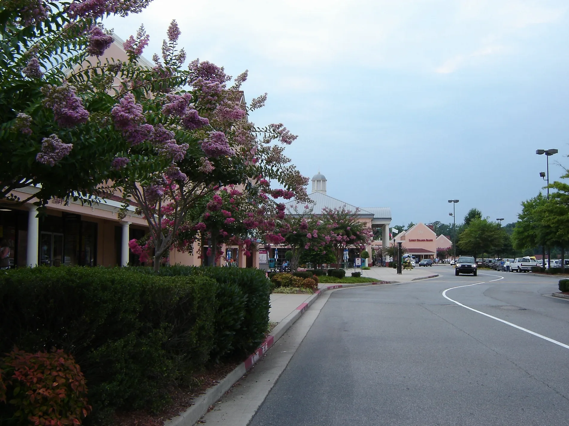
Power Center Drive in Dawson County, Georgia
Power Center Drive in Dawson County is a single-lane, asphalted unclassified road. It runs in a northeast-southwest direction starting from Dawson County Industrial Park and crosses Dawson Forest Road East. Nearby you can find 4 fast food restaurants and a restaurant.
- Road Type
- unclassified road
- Lanes
- 1
- Route
- northeast-southwest
Image
Restaurants
Fast food restaurants
Streets nearby
Peach StreetNorth Georgia Premium Outlets
0.2 mi
Donut DriveDunkin'
0.2 mi
Birchwood Close0.2 mi
Alder Circle0.2 mi
North Georgia Avenue0.2 mi
Oak Street0.3 mi
Magnolia StreetG H Bass, The North Face, Caribou Coffee
0.3 mi
Bradford Place0.3 mi
Dogwood StreetBrooks Brothers, Chico's Outlet, Roxy Moxy, The Uniform Outlet, Aerie, Samsonite, Atlanta Suits Outlet, Aeropostale, Adidas, Tory Burch, Ann Taylor, J.Crew Factory, Levi's, Canvas Art's, Timberland, Carhartt, City Produce, Carter's
0.3 mi
Ashwood Glen0.3 mi
Maple Lane0.3 mi
Fernwood Circle0.3 mi
Orchard Lane0.3 mi
Pecan StreetCalvin Klein, Polo Ralph Loren
0.3 mi
Dawson County Industrial ParkExpress Oil Change & Tire Engineers
0.3 mi
Crepe Myrtle Court0.3 mi
Green Forest Drive0.3 mi
Pecan Lane0.3 mi
Mulberry Way0.3 mi
Wallace BoulevardMiller's Ale House, Outback Steakhouse, Tire Discounters, Whataburger
0.4 mi
Elmwood Court0.4 mi
Leyland Trail0.4 mi
Marketplace ParkwayJohn Megel Chevrolet
0.4 mi
Dawson Forest Road East0.5 mi
Marketplace BoulevardDawson Dental
0.5 mi
Club Forest Road0.5 mi
Dawson Market WayStarbucks, MOD Pizza, Marco's Pizza
0.5 mi
Shops nearby
Dawsonville Crossroads0.4 mi
Banks nearby
Associated Credit Union0.2 mi
Fast food restaurants nearby
Arby's0.2 mi
KFC0.3 mi
Panda Express0.4 mi
Freddy's0.5 mi
Gas stations nearby
Mobil0.3 mi
Hardware stores nearby
The Home Depot0.1 mi
Hotels nearby
Quality Inn & Suites0.3 mi
Ice cream shops nearby
Bruster's Ice Cream0.3 mi
Motels nearby
Motel 60.3 mi
Pet stores nearby
PetSmart0.4 mi
Petco0.4 mi
Restaurants nearby
IHOP0.2 mi
Wild Wing Cafe0.2 mi
Chili's0.3 mi
Olive Garden0.3 mi
Retail buildings nearby
Blush Ivory Boutique0.3 mi
El Mexicano0.5 mi
Streams nearby
Thompson Creek0.4 mi
Supermarkets nearby
Walmart Supercenter0.2 mi
Publix0.3 mi
 Public transit map Dawson County Legend
| Railway | |
| Bus | |
| Streetcar |
 Bicycle map Dawson County Legend
| Bike path | |
| Bike lane on roadway | |
| Cycling allowed on bus lane | |
| Bicycle street | |
| Open to cyclists | |
| Open to cyclists, good path | |
| Cycling prohibited | |
| Cobblestone |
| Long-distance bike route | (depending on scale) | |
| Long-distance bike route |
 Pedestrian map Dawson County Legend
| Path |
| Long-distance hiking trail | (depending on scale) | |
| Long-distance hiking trail | ||
| Pedestrians prohibited |