
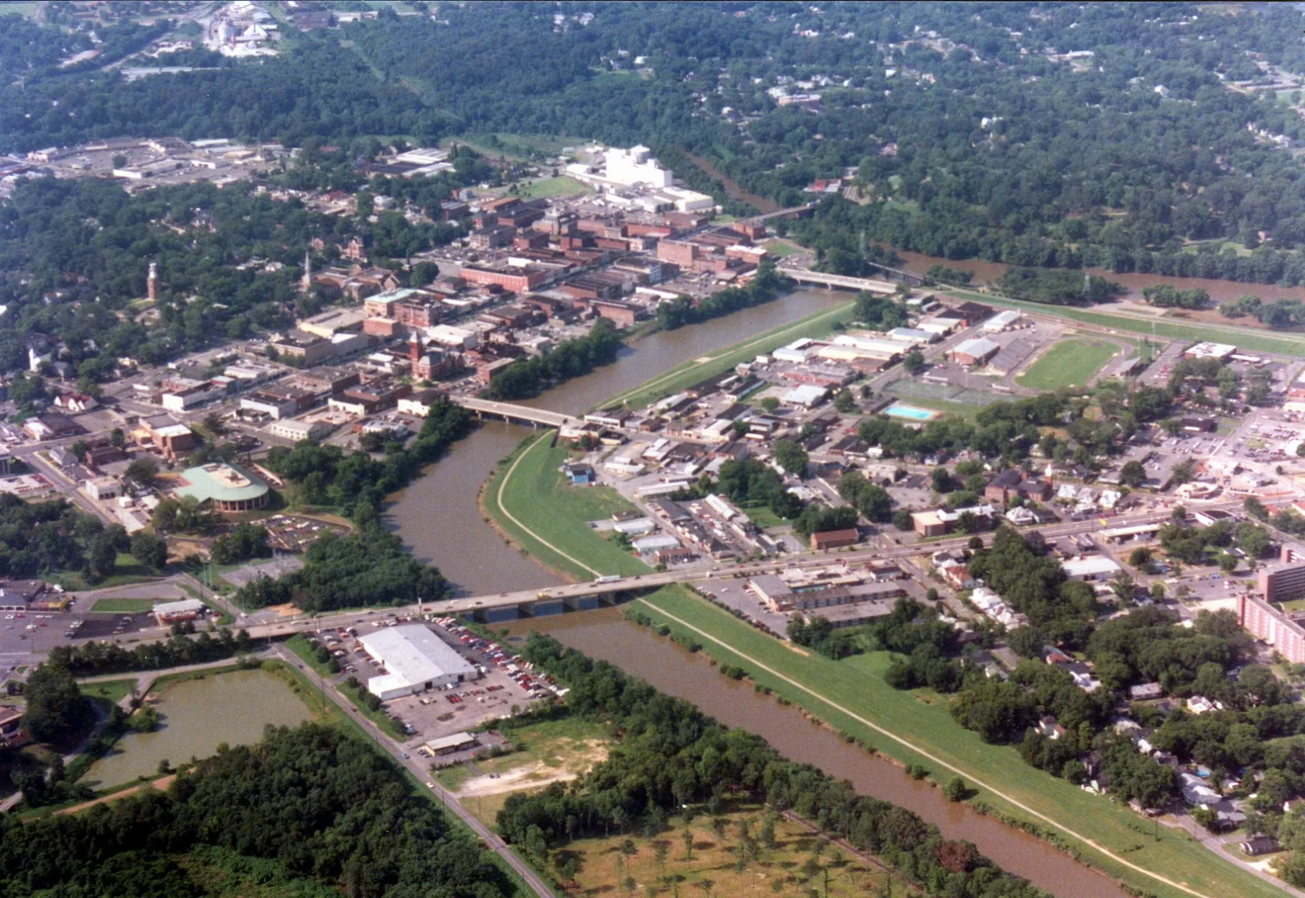
Vaughn Road in Rome, Georgia
Vaughn Road in Rome is a residential street. It runs in a north-south direction starting from Dogwood Drive and crosses Dogwood Drive Northeast and ends at West Ross Street. Vaughn Road also exists in Cobb County and Clarke County.
- Road Type
- residential street
- Route
- north-south
Image
Fast food restaurants
Copy shops
Gas stations
Fire stations
Prisons
Courthouses
Places of worship
Auto repair shops
Schools
Beauty salons
Gift shops
Hair salons
Convenience stores
Town halls
Museums
- Chieftains Museum (opening hours: Wed–Sun 10–17, Web) – approx. 0.9 mi.
Streets nearby
Jackson Street0.1 mi
Merriam Street0.1 mi
Wright Street0.1 mi
Harvey StreetNorth Rome, North Broad Baptist Church
0.2 mi
Dogwood Drive Northeast0.2 mi
Jackson Hill Drive0.2 mi
Copeland Street0.2 mi
Camp Street0.2 mi
Roseway Circle0.2 mi
Reece Street0.2 mi
Howell Street0.2 mi
Pine Street0.2 mi
Lindberg Drive0.3 mi
West Callahan StreetNorthside School
0.3 mi
Evans Street0.3 mi
Foster Avenue0.3 mi
Calhoun AvenueNorth Rome United Methodist Church
0.3 mi
Heard Street0.3 mi
Davis Street0.4 mi
Jennings Street0.4 mi
Pearl Street0.4 mi
Forsyth Street0.4 mi
Duke StreetBroad Street Baptist Church
0.4 mi
Reservoir StreetHell's Hollow
0.4 mi
Smith Street0.4 mi
Dwinell Street0.4 mi
Grady Avenue0.4 mi
Civic Center Drive0.4 mi
East Callahan StreetFox
0.4 mi
Gregory Street0.4 mi
North Broad Street0.4 mi
Watters Street0.5 mi
Griffin Street0.5 mi
Reservoir Drive0.5 mi
Dogwood Drive0.5 mi
Gibbons StreetThankful Baptist Church
0.5 mi
Turner McCall BoulevardPapa John's, Calvary Baptist Church, Citgo, Rome, Kroger Pharmacy
0.5 mi
Green and Gold Boulevard0.5 mi
West Ross Street0.5 mi
Martin Luther King Junior BoulevardHolsey Sinai Christian Methodist Episcopal Church, Marathon, Circle K
0.6 mi
Broad StreetRome City Hall, Rock-n-Roll Ice Cream Rolls, Old Havana Cigar Co.
0.6 mi
Spider Webb Drive0.6 mi
Abandoned railways nearby
Rome Railroad0.6 mi
Fast food restaurants nearby
Steak 'n Shake0.5 mi
Hotels nearby
Hampton Inn & Suites0.6 mi
Places of worship nearby
Saint Mary Catholic Church0.6 mi
Railways nearby
NS Atlanta North District0.3 mi
Restaurants nearby
Ole Tymer0.6 mi
Streams nearby
Burwell Creek0.3 mi
 Public transit map Rome Legend
| Railway | |
| Bus | |
| Streetcar |
 Bicycle map Rome Legend
| Bike path | |
| Bike lane on roadway | |
| Cycling allowed on bus lane | |
| Bicycle street | |
| Open to cyclists | |
| Open to cyclists, good path | |
| Cycling prohibited | |
| Cobblestone |
| Long-distance bike route | (depending on scale) | |
| Long-distance bike route |
 Pedestrian map Rome Legend
| Path |
| Long-distance hiking trail | (depending on scale) | |
| Long-distance hiking trail | ||
| Pedestrians prohibited |