
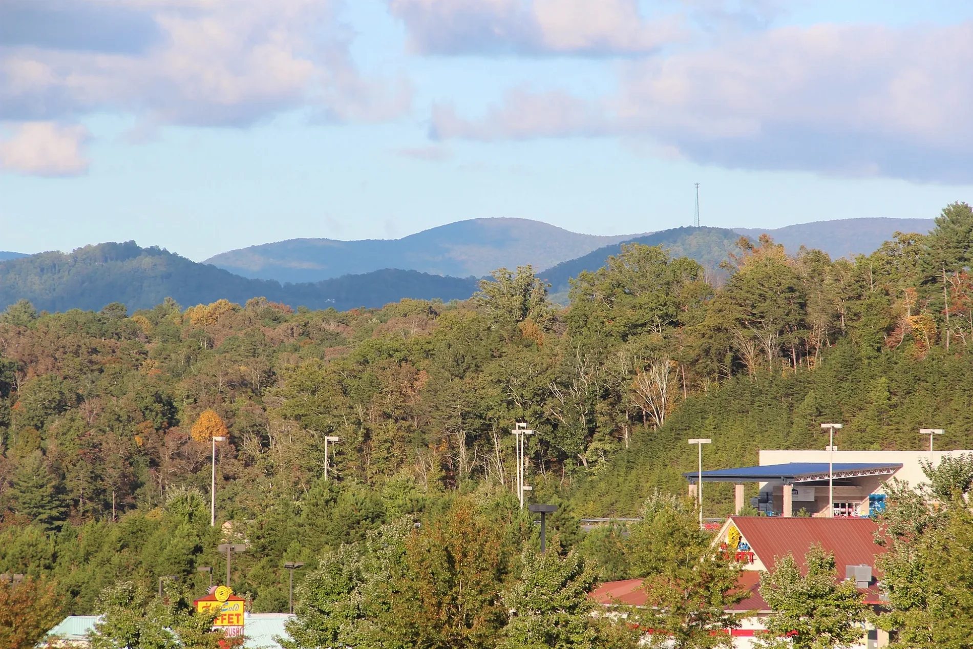
Howard Simmons Road in East Ellijay, Georgia
Howard Simmons Road in East Ellijay is a two-lane, asphalted unclassified road. It runs in an east-west direction and crosses APD Highway and ends at Highland Parkway, while the other end is a cul-de-sac. Nearby you can find a fast food restaurant, a convenience store and an ATM.
- Road Type
- unclassified road
- Lanes
- 2
- Speed Limit
- 35 mph
- Route
- east-west
Image
Fast food restaurants
ATMs
Streets nearby
Highland Drive0.3 mi
Highland Crossing South0.3 mi
Water Wheel Way0.3 mi
Casey Drive0.3 mi
Highland ParkwayTotal Joint Specialists - Ellijay, Bank OZK
0.3 mi
Candler Road0.3 mi
Loper Lane0.4 mi
Howard Simmons Road0.4 mi
West Highlands DrivePiedmont Mountainside - Ellijay
0.4 mi
Old Highway 5 SouthGreen's Country Store
0.4 mi
APD HighwayNorthcutt
0.4 mi
Highland Ridge Road0.4 mi
Mountain View Drive0.4 mi
Highland CrossingSouth State Bank, Subway, Marco's Pizza, Great Clips, Nails and Spa, Bojangles', Mavis Tires & Brakes
0.5 mi
Progress Road0.5 mi
Highland South Crossing0.5 mi
Auto parts stores nearby
AutoZone0.1 mi
Banks nearby
South State Bank0.4 mi
Buildings nearby
Berkshire Hathaway HomeServices0.4 mi
Wilson Pruitt0.5 mi
Cafes nearby
Starbucks0.3 mi
Car washes nearby
Squiggles0.3 mi
Cell phone stores nearby
Verizon0.2 mi
Clinics nearby
MainStreet Family Care0.3 mi
Piedmont0.4 mi
Drugstores nearby
CVS Pharmacy0.2 mi
Fast food restaurants nearby
Chick-fil-A0.1 mi
Zaxby's0.2 mi
Captain D's0.2 mi
Wendy's0.2 mi
Shane's Rib Shack0.3 mi
Krystal0.3 mi
Moe's Southwest Grill0.4 mi
Taco Bell0.4 mi
Popeyes0.5 mi
Fire stations nearby
Gilmer County Fire Station #1350 ft
Gas stations nearby
Valero0.2 mi
Murphy USA0.3 mi
Hardware stores nearby
Lowe's0.4 mi
Hotels nearby
Comfort Inn & Suites0.4 mi
Liquor stores nearby
Appalachian Beverage0.5 mi
Railways nearby
Georgia Northeastern Railroad0.4 mi
Restaurants nearby
El Rey0.2 mi
Ruby Tuesday0.2 mi
LongHorn Steakhouse0.3 mi
IHOP0.3 mi
Buffalo Lukes0.3 mi
Pueblo Cantina0.4 mi
Specialty stores nearby
Brown Haven Homes0.4 mi
Supermarkets nearby
Walmart Supercenter0.4 mi
Public transit map East Ellijay Legend
| Railway | |
| Bus | |
| Streetcar |
Bicycle map East Ellijay Legend
| Bike path | |
| Bike lane on roadway | |
| Cycling allowed on bus lane | |
| Bicycle street | |
| Open to cyclists | |
| Open to cyclists, good path | |
| Cycling prohibited | |
| Cobblestone |
| Long-distance bike route | (depending on scale) | |
| Long-distance bike route |
Pedestrian map East Ellijay Legend
| Path |
| Long-distance hiking trail | (depending on scale) | |
| Long-distance hiking trail | ||
| Pedestrians prohibited |