
East Ellijay, Georgia
East Ellijay is located in Gilmer County. About 1,625 people live here. Between 2010 and 2024, the population grew from 546 to 1,625. The region is at 430 meters above sea level. The area covers about 8.8 square kilometers. There are about 296 streets in East Ellijay. The ZIP codes are 30539. East Ellijay is human settlement in Gilmer County, Georgia, United States of America. Among other things, East Ellijay has restaurants, supermarkets, banks, hair Salons, doctors and pharmacies.
East Ellijay – Facts
| Population | 1625 |
|---|---|
| Area | 8.8 km² |
| Elevation | 430 m |
| Located in | Gilmer County |
| Postal code | 30539 |
| Country | United States |
| Official name | East Ellijay |
Data source: Wikidata (CC0)
Photos from East Ellijay
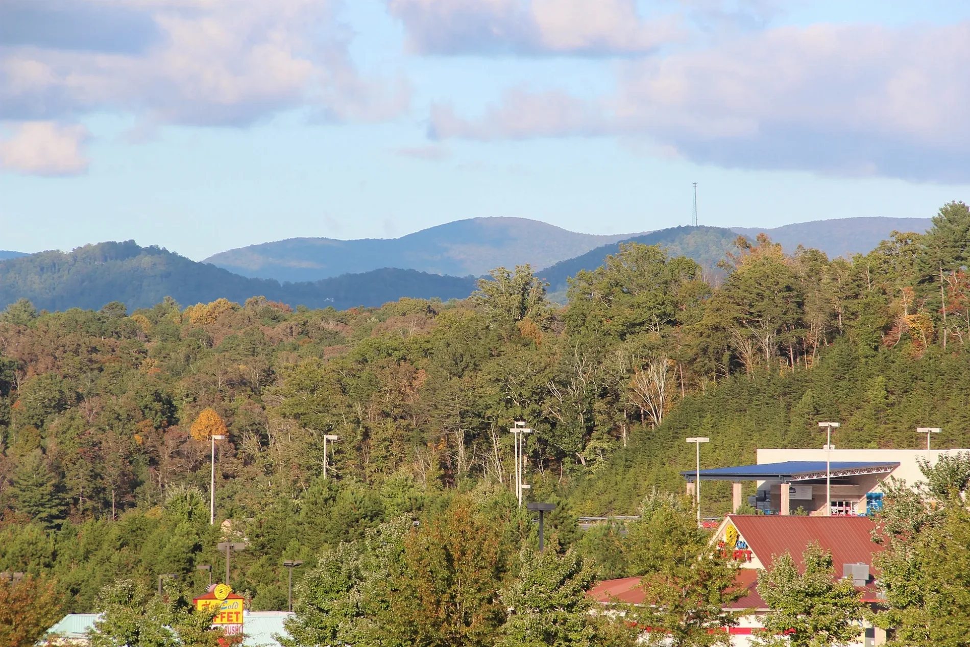
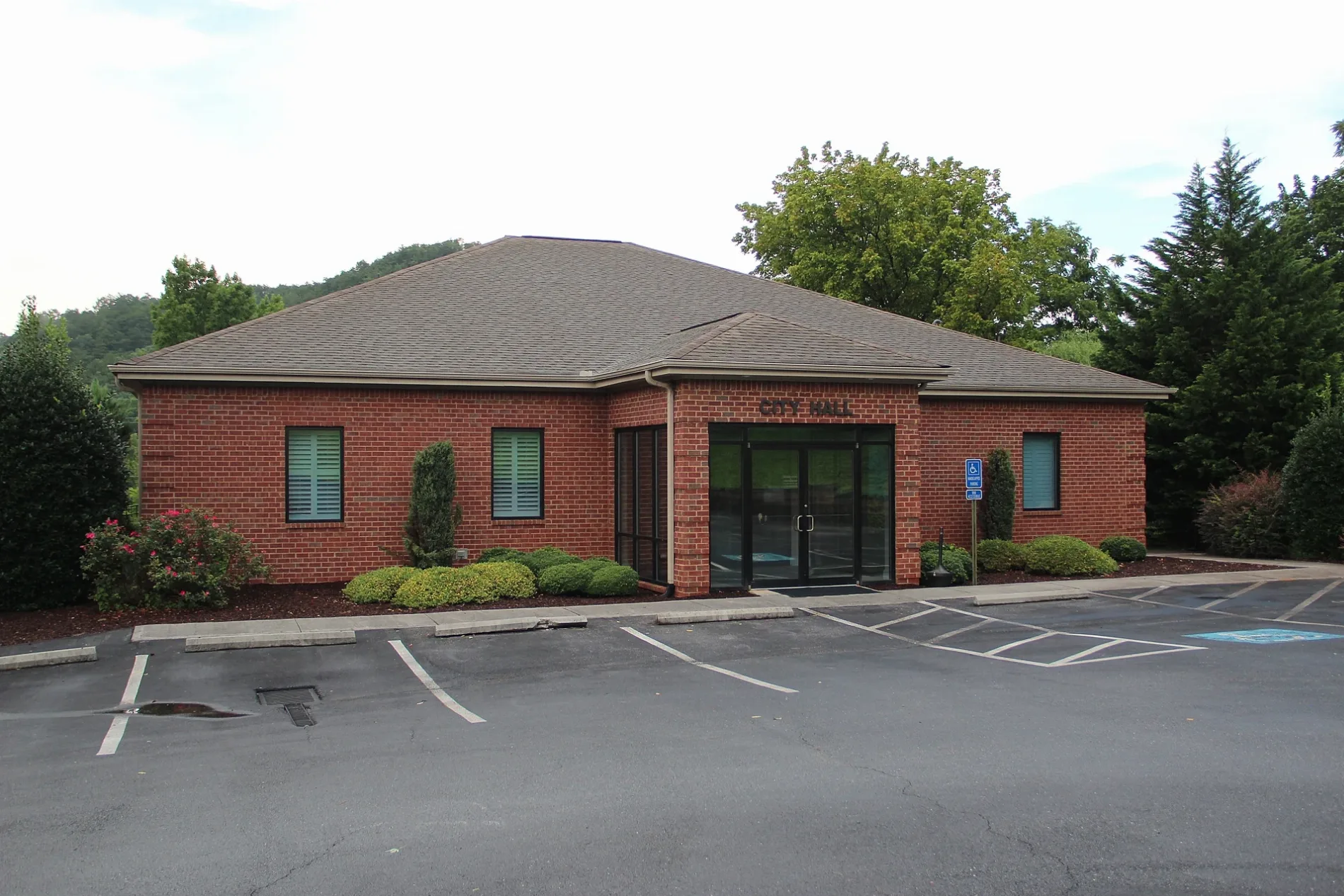
Streets in East Ellijay, Georgia
Streets
Craig Street
Maddox Circle
Spring Street
East Ellijay Police Department
West Avenue
Keener Lane
East Oak Street
Maple StreetWalgreens
Hefner Street
Highland CrossingSouth State Bank, Subway, Marco's Pizza, Great Clips, Nails and Spa, Bojangles', Mavis Tires & Brakes
Mulberry Street
Dogwood DriveLin's Garden
Eller Drive
Maddox DriveHootenanny's Music
Cherry Street
1st Avenue
Laurel StreetEast Ellijay
Independence Circle
Sycamore Street
Fowler StreetHouse Of Applejay Foodtruck, House Of Applejay Tasting Room
Highway 52 East
Willow Street
School Street
East Cross Street
Hill Street
Monticello Road
Holly Ridge
Riverside Drive
Orchard Drive
Green Field Road
APD HighwayAldi
Walnut Street
Mutzu Lane
West Cross Street
Lanning Road
Oak Ridge Street
Oak Ridge Court
Oak Ridge Trail
Oak Creek Drive
Highland Crossing South
Mountain View Drive
Highland Drive
Highland ParkwayTotal Joint Specialists - Ellijay, Bank OZK
Highland Ridge Road
Eric Simpson Drive
Coosawatee Drive
Old Orchard SquareIngles Pharmacy, East Ellijay Post Office, Pizza King, Okinawa Restaurant
Industrial BoulevardBank OZK, Piedmont Physicians of Gilmer
Talona Lake Drive
West Highlands DrivePiedmont Mountainside - Ellijay
Howard Simmons RoadDunkin', Power Market, Allpoint
Mike DrivePapa's Pizza
Russell Drive
Swamp Creek Lane
Oak Ridge Road
Eller Road
Greenfield Ridge
Ridgehaven Trail
Beasley Trail
Westbrook BoulevardAntique stores
Auto parts stores
Auto repair shops
Banks
Buildings
Cafes
Car dealerships
Car washes
Cell phone stores
Cemeteries
Clinics
Commercial buildings
Dams
Department stores
Drugstores
Fast food restaurants
Fire stations
Gas stations
Gun stores
Hardware stores
Liquor stores
Movie theaters
Places of worship
Railways
Restaurants
Specialty stores
Supermarkets
Tire dealers
Town halls
Variety stores
Veterinary clinics
 Public transit map East Ellijay Legend
| Railway | |
| Bus | |
| Streetcar |
 Bicycle map East Ellijay Legend
| Bike path | |
| Bike lane on roadway | |
| Cycling allowed on bus lane | |
| Bicycle street | |
| Open to cyclists | |
| Open to cyclists, good path | |
| Cycling prohibited | |
| Cobblestone |
| Long-distance bike route | (depending on scale) | |
| Long-distance bike route |
 Pedestrian map East Ellijay Legend
| Path |
| Long-distance hiking trail | (depending on scale) | |
| Long-distance hiking trail | ||
| Pedestrians prohibited |