
Cherry Street in East Ellijay, Georgia
Cherry Street in East Ellijay is a residential street and it runs in a northeast-southwest direction and ends at Walnut Street, while the other end is a cul-de-sac. Cherry Street also exists in Effingham County, Burke County, Charlton County, Chatham County and Richmond County.
- Road Type
- residential street
- Route
- northeast-southwest
Image
Pharmacies
Banks
Music stores
Hospitals
Supermarkets
Restaurants
Bars
Hair salons
Auto repair shops
Fast food restaurants
Police stations
Post offices
Beauty salons
Department stores
Streets nearby
Walnut Street500 ft
Laurel StreetEast Ellijay
0.2 mi
Holly Ridge0.2 mi
Spring StreetEast Ellijay Police Department
0.2 mi
East Oak Street0.2 mi
Orchard Drive0.2 mi
Mutzu Lane0.2 mi
West Avenue0.3 mi
Mulberry Street0.3 mi
Riverside Drive0.3 mi
Maple StreetWalgreens
0.3 mi
Willow Street0.3 mi
Sycamore Street0.3 mi
Old Orchard Road0.4 mi
Industrial BoulevardBank OZK, Piedmont Physicians of Gilmer
0.4 mi
Granny Smith Lane0.4 mi
School Street0.4 mi
Possum Hollar0.4 mi
East Cross Street0.4 mi
River StreetRiver Street Tavern, Emily's Bar and Restaurant, Ellijay Wood Fired Pizza
0.4 mi
1st Avenue0.4 mi
Black Walnut Place0.4 mi
Keener Lane0.4 mi
APD HighwayAldi
0.5 mi
West Cross Street0.5 mi
Lanning Road0.5 mi
Hill Street0.5 mi
Whispering Oaks Drive0.5 mi
Highway 52 EastCartecay, Oak Hill, Oak Hill Church, Squidbillies Early Cuyler Statue
0.5 mi
West River Trace0.6 mi
Jeff Drive0.6 mi
Eric Lane0.6 mi
Old Bennett Road0.7 mi
Aspen Avenue0.7 mi
Ovaline Trace0.8 mi
Shops nearby
Tractor Supply Company0.6 mi
Antique stores nearby
Southern Flair Antiques and Interiors0.4 mi
Buildings nearby
OAK HILL INDEPT CHURCH0.4 mi
Commercial buildings nearby
House Of Applejay Distillery0.4 mi
Convenience stores nearby
Conoco0.3 mi
Dollar Dawg0.6 mi
Drugstores nearby
Walgreens0.3 mi
Fast food restaurants nearby
Hardee's0.4 mi
Arby's0.4 mi
Restaurants nearby
Charlie's Italian Restaurant0.5 mi
Poole's Real Pit BBQ0.5 mi
Supermarkets nearby
Food Lion0.5 mi
Town halls nearby
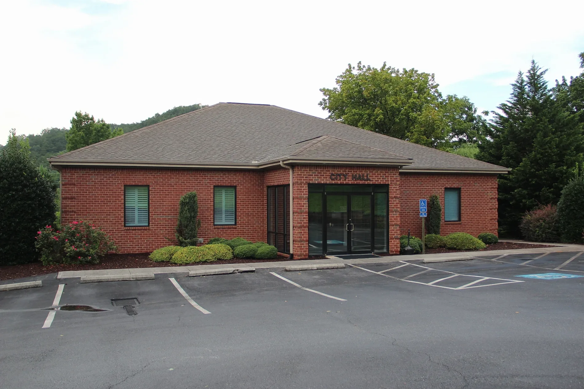
CITY HALL CITY OF EAST ELLIJAY0.2 mi
Veterinary clinics nearby
VCA Appalachian Animal Hospital0.3 mi
Public transit map East Ellijay Legend
| Railway | |
| Bus | |
| Streetcar |
Bicycle map East Ellijay Legend
| Bike path | |
| Bike lane on roadway | |
| Cycling allowed on bus lane | |
| Bicycle street | |
| Open to cyclists | |
| Open to cyclists, good path | |
| Cycling prohibited | |
| Cobblestone |
| Long-distance bike route | (depending on scale) | |
| Long-distance bike route |
Pedestrian map East Ellijay Legend
| Path |
| Long-distance hiking trail | (depending on scale) | |
| Long-distance hiking trail | ||
| Pedestrians prohibited |