
School Street in East Ellijay, Georgia
School Street in East Ellijay is a two-lane, asphalted unclassified road and runs in a north-south direction starting from Industrial Boulevard and ends at Fowler Street. School Street also exists in Columbia County, Lincoln County, Towns County, Union County and Fannin County.
- Road Type
- unclassified road
- Lanes
- 2
- Route
- north-south
Image
Pharmacies
Banks
Post offices
Beauty salons
Supermarkets
Restaurants
Police stations
Hospitals
Auto repair shops
Fast food restaurants
Bars
Music stores
Hair salons
Department stores
Streets nearby
Industrial BoulevardBank OZK, Piedmont Physicians of Gilmer
450 ft
Lanning Road550 ft
Maple StreetWalgreens
0.1 mi
River StreetRiver Street Tavern, Emily's Bar and Restaurant, Ellijay Wood Fired Pizza
0.1 mi
Highway 52 East0.1 mi
Willow Street0.1 mi
Hill Street0.2 mi
Sycamore Street0.2 mi
West Cross Street0.2 mi
West Avenue0.2 mi
East Cross Street0.2 mi
East Oak Street0.2 mi
Laurel StreetEast Ellijay
0.3 mi
Jeff Drive0.3 mi
Fowler StreetHouse Of Applejay Foodtruck, House Of Applejay Tasting Room
0.3 mi
Orr Street0.3 mi
Kiker Street0.3 mi
1st Avenue0.3 mi
Craig Street0.4 mi
Eric Simpson Drive0.4 mi
Hefner Street0.5 mi
APD HighwayAldi
0.5 mi
Maddox DriveHootenanny's Music
0.6 mi
Shops nearby
Tractor Supply Company0.5 mi
Auto parts stores nearby
Advance Auto Parts0.5 mi
Banks nearby
BB&T0.6 mi
Buildings nearby
Stratford Motor Inn0.6 mi
Car washes nearby
Clock Tower Auto Wash0.5 mi
Cemeteries nearby
East Ellijay Baptist Church Cementary0.4 mi
Commercial buildings nearby
House Of Applejay Distillery0.1 mi
Convenience stores nearby
Conoco0.1 mi
Holt's Drive Thru Convenience Store0.3 mi
Drugstores nearby
Walgreens550 ft
Fast food restaurants nearby
Hardee's150 ft
Arby's150 ft
The Chili Dog0.2 mi
McDonald's0.5 mi
Burger King0.6 mi
Gas stations nearby
BP0.6 mi
Shell0.6 mi
Motels nearby
Budget Inn Motel0.3 mi
Post offices nearby
Ellijay Post Office0.4 mi
Railways nearby
Georgia Northeastern Railroad0.4 mi
Restaurants nearby
Charlie's Italian Restaurant0.2 mi
Poole's Real Pit BBQ0.4 mi
Waffle House0.5 mi
Supermarkets nearby
Food Lion500 ft
Town halls nearby
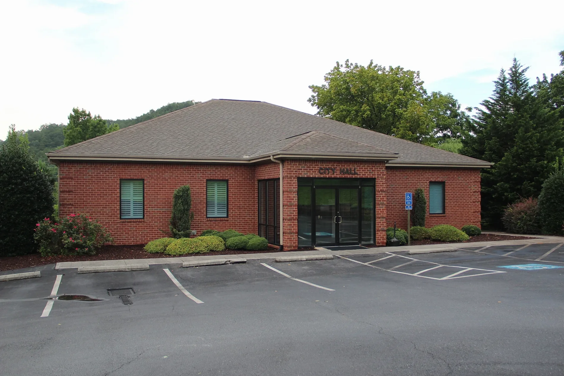
CITY HALL CITY OF EAST ELLIJAY0.2 mi
Veterinary clinics nearby
VCA Appalachian Animal Hospital0.2 mi
Public transit map East Ellijay Legend
| Railway | |
| Bus | |
| Streetcar |
Bicycle map East Ellijay Legend
| Bike path | |
| Bike lane on roadway | |
| Cycling allowed on bus lane | |
| Bicycle street | |
| Open to cyclists | |
| Open to cyclists, good path | |
| Cycling prohibited | |
| Cobblestone |
| Long-distance bike route | (depending on scale) | |
| Long-distance bike route |
Pedestrian map East Ellijay Legend
| Path |
| Long-distance hiking trail | (depending on scale) | |
| Long-distance hiking trail | ||
| Pedestrians prohibited |