
Highway 52 East in Ellijay, Georgia
Highway 52 East in Ellijay is a two-lane, asphalted main road (Road number GA 52). It runs in a northeast-southwest direction and ends at River Street, while the other end is a cul-de-sac. This street is part of the highway "52" as well as the Bicycle route "US:GA 90".
- Road Type
- main road
- Lanes
- 2
- Speed Limit
- 35 mph
- Route
- northeast-southwest
Image
Clothing stores
Housewares stores
Self storages
Cafes
Massage therapy clinics
Restaurants
Banks
Convenience stores
Beauty salons
Furniture stores
Secondhand stores
ATMs
Doctor's offices
Hair salons
Schools
Antique stores
Streets nearby
River StreetRiver Street Tavern, Emily's Bar and Restaurant, Ellijay Wood Fired Pizza
0.1 mi
1st Avenue0.1 mi
Keener Lane0.1 mi
Industrial BoulevardBank OZK, Piedmont Physicians of Gilmer
0.1 mi
Highway 52 East0.2 mi
West Avenue0.2 mi
Kiker Street0.2 mi
Mulberry Street0.2 mi
Jeff Drive0.2 mi
School Street0.2 mi
East Oak Street0.2 mi
Maple StreetWalgreens
0.3 mi
Winkle Road0.3 mi
Holly Ridge0.3 mi
Lanning Road0.3 mi
Laurel StreetEast Ellijay
0.3 mi
Depot StreetCajun Depot Grill
0.3 mi
Willow Street0.3 mi
Spring StreetEast Ellijay Police Department
0.3 mi
Walnut Street0.4 mi
Hill Street0.4 mi
APD HighwayAldi
0.4 mi
Sycamore Street0.4 mi
Craig Street0.4 mi
Orr Street0.4 mi
West Cross Street0.4 mi
East Cross Street0.4 mi
Sailors Drive0.4 mi
Ward Lane0.4 mi
Creamery Lane0.5 mi
Fowler StreetHouse Of Applejay Foodtruck, House Of Applejay Tasting Room
0.5 mi
Auto parts stores nearby
NAPA Auto Parts0.4 mi
Buildings nearby
OAK HILL INDEPT CHURCH0.1 mi
Ellijay Old Train Depot0.3 mi
Commercial buildings nearby
House Of Applejay Distillery0.3 mi
Convenience stores nearby
Conoco0.2 mi
Holt's Drive Thru Convenience Store0.4 mi
Drugstores nearby
Walgreens0.2 mi
Fast food restaurants nearby
Hardee's0.2 mi
Arby's0.2 mi
The Chili Dog0.3 mi
Motels nearby
Budget Inn Motel0.2 mi
Paint stores nearby
Sherwin-Williams0.5 mi
Post offices nearby
Ellijay Post Office0.4 mi
Railways nearby
Georgia Northeastern Railroad0.4 mi
Restaurants nearby
Cajun Depot Grill0.3 mi
Charlie's Italian Restaurant0.5 mi
Supermarkets nearby
Food Lion0.3 mi
Town halls nearby
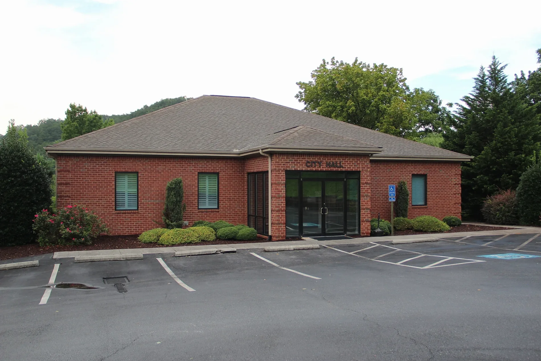
CITY HALL CITY OF EAST ELLIJAY0.2 mi
Veterinary clinics nearby
VCA Appalachian Animal Hospital0.1 mi
 Public transit map Ellijay Legend
| Railway | |
| Bus | |
| Streetcar |
 Bicycle map Ellijay Legend
| Bike path | |
| Bike lane on roadway | |
| Cycling allowed on bus lane | |
| Bicycle street | |
| Open to cyclists | |
| Open to cyclists, good path | |
| Cycling prohibited | |
| Cobblestone |
| Long-distance bike route | (depending on scale) | |
| Long-distance bike route |
 Pedestrian map Ellijay Legend
| Path |
| Long-distance hiking trail | (depending on scale) | |
| Long-distance hiking trail | ||
| Pedestrians prohibited |