
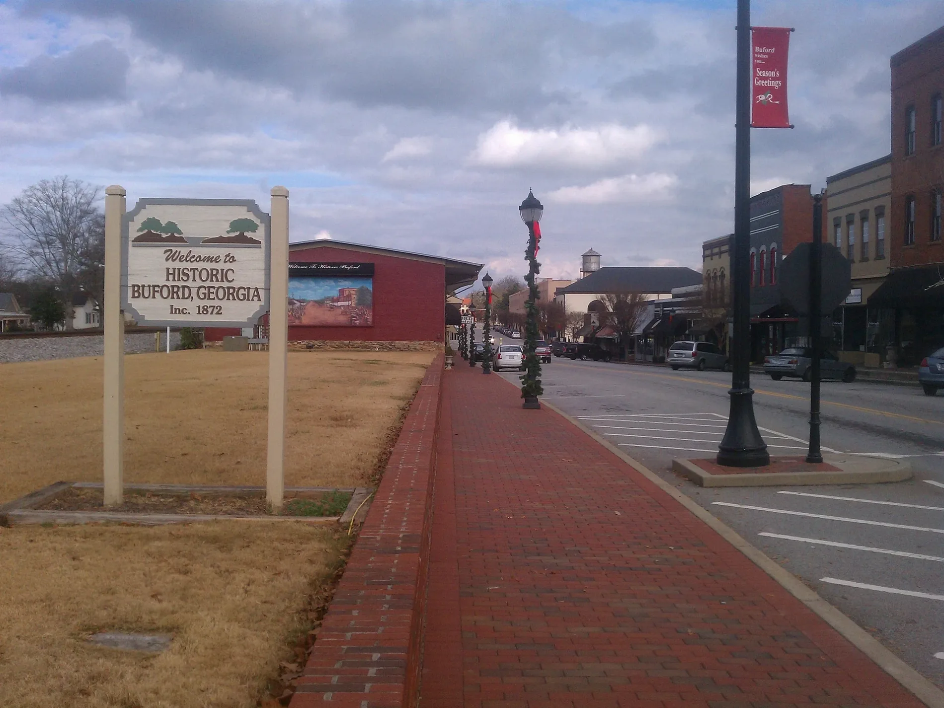
North Harris Street in Buford, Georgia
North Harris Street in Buford is a residential street. It runs in a southeast-northwest direction starting from East Jackson Street and crosses Garner Street and ends at North Harris Street Northeast. North Harris Street also exists in Monroe County and Washington County.
- Road Type
- residential street
- Route
- southeast-northwest
Image
Fast food restaurants
Police stations
Restaurants
Arts centers
Car dealerships
Places of worship
Hair salons
Car washes
Charging stations
Clothing stores
Music stores
Schools
Gas stations
Town halls
Auto repair shops
Clinics
Cell phone stores
Streets nearby
Garner Street250 ft
North Harris Street Northeast400 ft
Spring Street0.1 mi
East Jones Alley Northeast0.2 mi
South Harris StreetBuford
0.2 mi
Silas King Street0.2 mi
Garnett Street Northeast0.2 mi
Scott Street0.2 mi
West Jones Alley Northeast0.2 mi
East Main Street NortheastAdvanced Coloration Salon
0.2 mi
Hill Street0.2 mi
South Gwinnett Street Northeast0.2 mi
North Alexander Street Northeast0.2 mi
East Jackson Street0.2 mi
Gwinnett Street0.3 mi
East Shadburn Avenue0.3 mi
Pine L Drive Northeast0.3 mi
Latimore Avenue0.3 mi
Bell Street0.3 mi
5th Street0.3 mi
East Park Street0.3 mi
New Street0.3 mi
Sawnee Avenue0.3 mi
New Street Northeast0.3 mi
Pirkle Alley Northeast0.3 mi
Wilson Street Northeast0.3 mi
Edwards Street0.3 mi
East Moreno StreetMister Car Wash - Buford
0.3 mi
West Jackson Street0.3 mi
West Park Street0.4 mi
West Main StreetBuford
0.4 mi
Wilson Avenue0.4 mi
North Lee Street0.4 mi
Highland Avenue0.4 mi
South Church Street0.4 mi
South Alexander Street0.4 mi
West Moreno StreetFirst Baptist Church of Buford
0.4 mi
South Hill StreetChargePoint, First United Methodist Church of Buford
0.4 mi
Williams Street Northeast0.4 mi
South Lee StreetBuford Church of God, Rick Hendrick Chevrolet
0.4 mi
Cloud Street0.4 mi
Pirkle Avenue0.5 mi
Cole Street0.5 mi
Garnett Street0.5 mi
South Church Street Northeast0.5 mi
Espy Street0.5 mi
Railways nearby
NS Greenville District0.2 mi
Restaurants nearby
Buford Grill0.4 mi
Rico's World Kitchen0.4 mi
Public transit map Buford Legend
| Railway | |
| Bus | |
| Streetcar |
Bicycle map Buford Legend
| Bike path | |
| Bike lane on roadway | |
| Cycling allowed on bus lane | |
| Bicycle street | |
| Open to cyclists | |
| Open to cyclists, good path | |
| Cycling prohibited | |
| Cobblestone |
| Long-distance bike route | (depending on scale) | |
| Long-distance bike route |
Pedestrian map Buford Legend
| Path |
| Long-distance hiking trail | (depending on scale) | |
| Long-distance hiking trail | ||
| Pedestrians prohibited |