
Tallulah Falls, Georgia
Tallulah Falls is located in Habersham County. About 199 people live here (as of 2020). Between 2010 and 2020, the population grew from 168 to 199. The region is at 524 meters above sea level. The area covers about 22.1 square kilometers. There are about 164 streets in Tallulah Falls. The ZIP codes are 30573. The dialing code is 706. Tallulah Falls is town in Habersham and Rabun Counties, Georgia, United States of America. Among other things, Tallulah Falls has restaurants and cafés.
Tallulah Falls – Facts
| Population | 199 |
|---|---|
| Area | 22.1 km² |
| Elevation | 524 m |
| Located in | Habersham County, Rabun County |
| Postal code | 30573 |
| Country | United States |
| Official name | Tallulah Falls |
Data source: Wikidata (CC0)
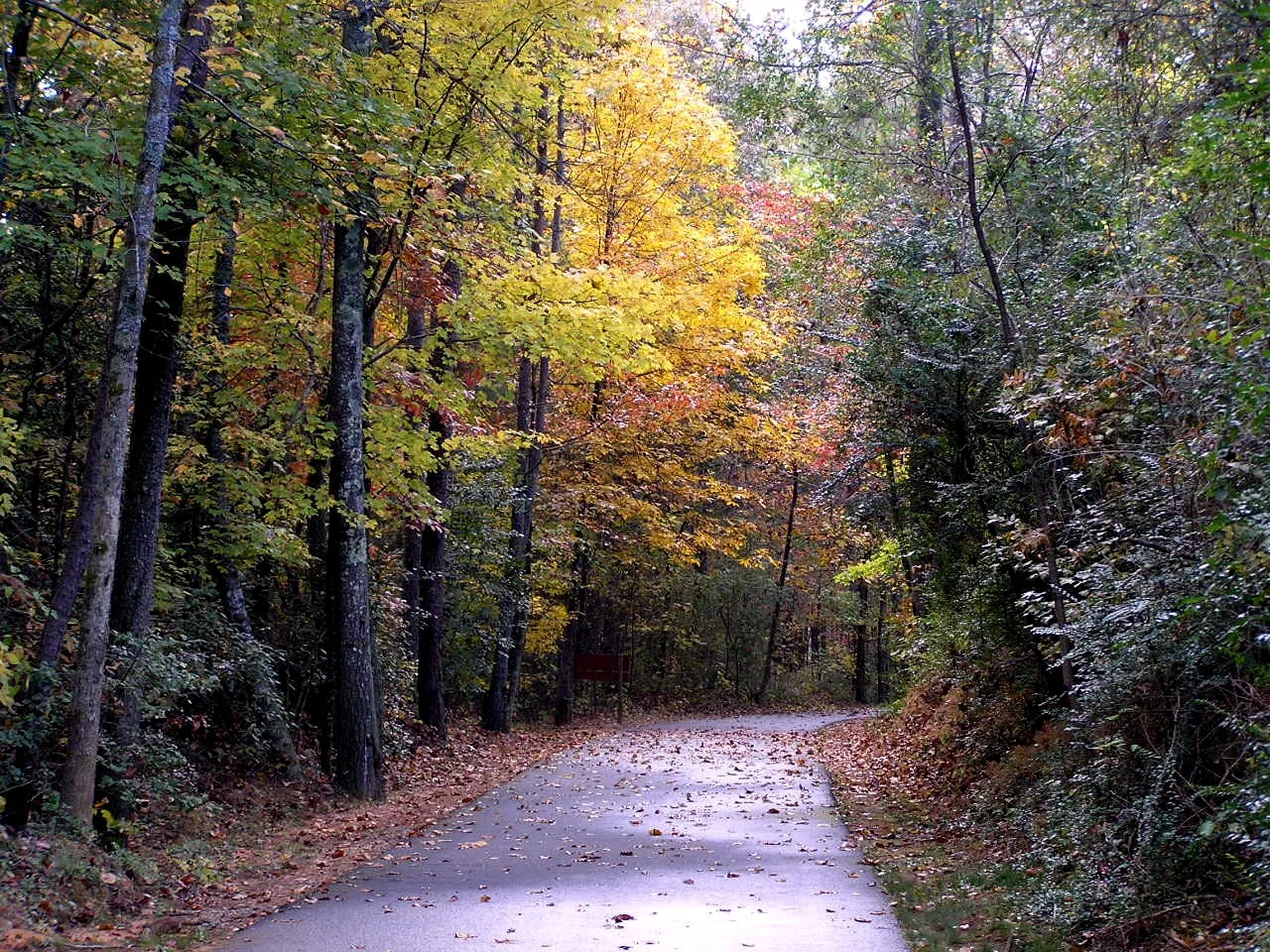
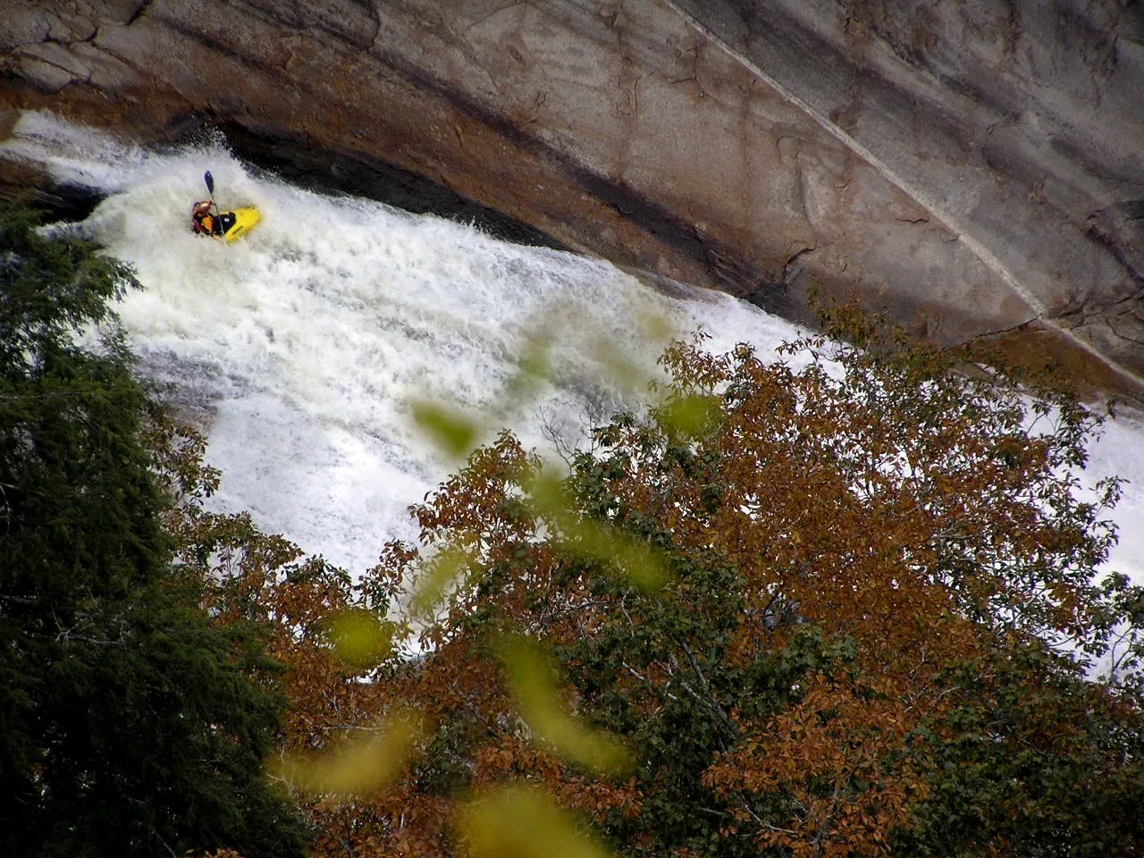
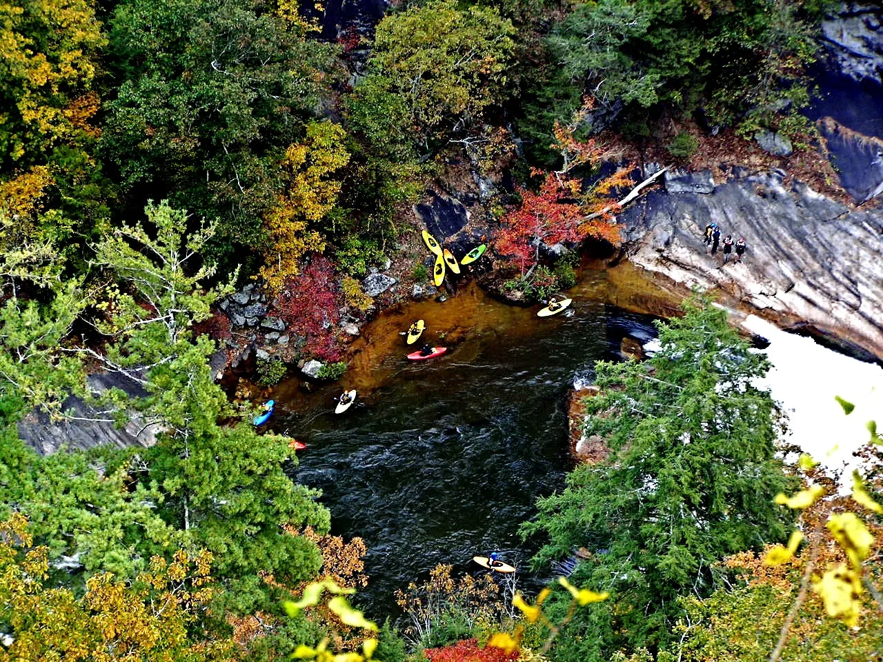
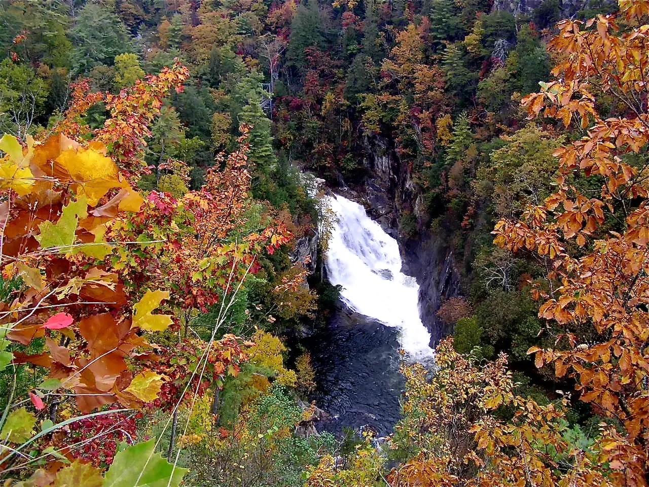
Photos from Tallulah Falls

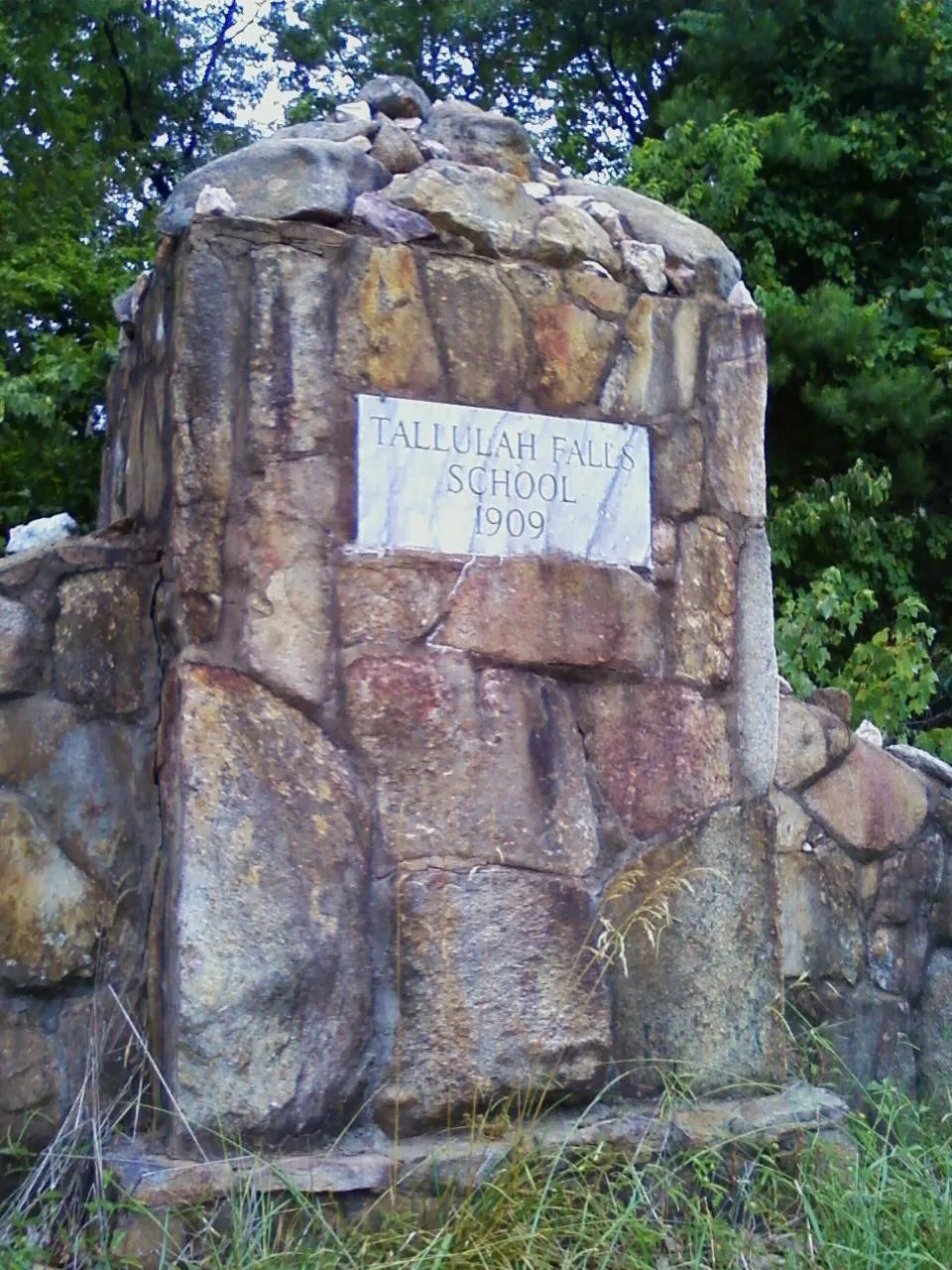
Streets in Tallulah Falls, Georgia
Streets
North Rim Trail
Overlook 3, Overlook 1A, Helen Dortch Longstreet Trail System, Prescribed Burning, Overlook 5, Overlook 4, Overlook2, Hawthome Pool
South Rim TrailOverlook 8, Fire in Tallulah Gorge, Overlook 7, Overlook 6, Overlook 10, Overlook 9
High Bluff TrailBackcountry Campsite #2, Backcountry Campsite #3
Inspiration LoopOverlook 1, Inspiration Point
Tallulah Gorge TrailHurricane Falls Overlook
Moss StreetTallulah 1882
River StreetUgly Mug Tavern
Jane Hurt Yarn Road
Hickory Street
Gorge View Drive
Main Street
School Drive
Gilbert Gate Road
Victory Home Lane
Stone Street
School RoadTallulah Falls Main Gate, Tallulah Falls
Nunnaly Road
Faculty Circle
Tallulah Gorge Scenic Loop
Harvey Terrace
Terrora Circle
Tallulah Gorge Floor Trail
Hickory Nut Road
Hurricane falls Stairs Bridge
Tallulah Falls Railway Trail
Tallulah Falls Rail-Trail
Tugaloo Village RoadTugaloo
Williams Street
School Nature Road
Bay Shadows Road
Y Camp Road
Stone Place Trail
High Street
Upper Terrora Nature Trail
Old Stone Place Road
Vandiver Street
Spring Street
Viola Scott Circle
Washington Street
Bay Shadows Drive
Stone Place Trail & High Bluff Trail
Norcup Avenue
Jackson Place
Campus DriveAbandoned railways
Campgrounds
Cemeteries
Industrial areas
Industrial buildings
Museums
Places of worship
Restaurants
School buildings
Secondhand stores
Tourist information centers
Public transit map Tallulah Falls Legend
| Railway | |
| Bus | |
| Streetcar |
Bicycle map Tallulah Falls Legend
| Bike path | |
| Bike lane on roadway | |
| Cycling allowed on bus lane | |
| Bicycle street | |
| Open to cyclists | |
| Open to cyclists, good path | |
| Cycling prohibited | |
| Cobblestone |
| Long-distance bike route | (depending on scale) | |
| Long-distance bike route |
Pedestrian map Tallulah Falls Legend
| Path |
| Long-distance hiking trail | (depending on scale) | |
| Long-distance hiking trail | ||
| Pedestrians prohibited |