
Tallulah Gorge Trail in Tallulah Falls, Georgia
Tallulah Gorge Trail in Tallulah Falls is a path. The trail is a mountain hiking trail. It is a pedestrian bridge and runs in a southeast-northwest direction. Nearby there is a viewpoint.
- Road Type
- path
- Route
- southeast-northwest
Image
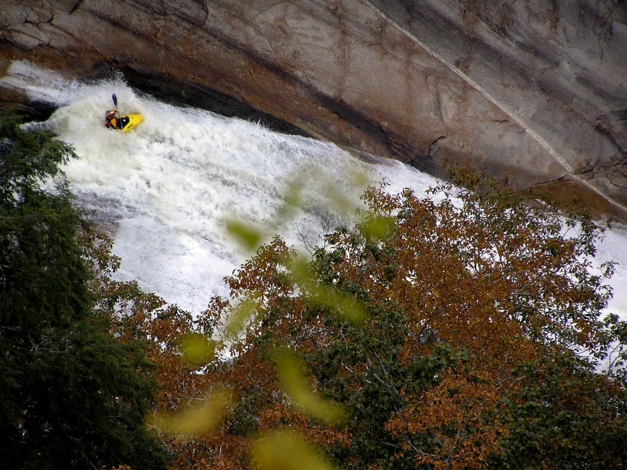
Viewpoints
Streets nearby
Hurricane falls Stairs Bridge400 ft
Tallulah Gorge Floor Trail450 ft
South Rim TrailOverlook 8, Fire in Tallulah Gorge, Overlook 7, Overlook 6, Overlook 10, Overlook 9
0.1 mi
Moss StreetTallulah 1882
0.2 mi
North Rim TrailOverlook 3, Overlook 1A, Helen Dortch Longstreet Trail System, Prescribed Burning, Overlook 5, Overlook 4, Overlook2, Hawthome Pool
0.2 mi
Main Street0.2 mi
Hickory Street0.2 mi
Williams Street0.2 mi
Stone Street0.2 mi
High Street0.3 mi
Inspiration LoopOverlook 1, Inspiration Point
0.3 mi
School RoadTallulah Falls Main Gate, Tallulah Falls
0.3 mi
Spring Street0.3 mi
North Rock Mountain Road0.3 mi
River StreetUgly Mug Tavern
0.3 mi
Old Stone Place Road0.4 mi
Vandiver Street0.4 mi
Norcup Avenue0.4 mi
School Drive0.4 mi
Viola Scott Circle0.4 mi
High Bluff TrailBackcountry Campsite #2, Backcountry Campsite #3
0.4 mi
Gorge View Drive0.4 mi
Campus Drive0.4 mi
Rock Mountain Road0.4 mi
Stone Place Trail0.4 mi
Tallulah Gorge Scenic Loop0.5 mi
Cartledge Street0.5 mi
Jane Hurt Yarn Road0.5 mi
Harvey Terrace0.7 mi
Jackson Place0.7 mi
Terrora Circle0.7 mi
Tallulah Falls Railway Trail0.7 mi
Upper Terrora Nature Trail0.8 mi
Abandoned railways nearby
Tallulah Falls Railway0.7 mi
Campgrounds nearby
Terrora Campground0.5 mi
Cemeteries nearby
Tallulah Falls Cemetery0.5 mi
Dams nearby
Tallulah Falls Dam0.2 mi
Museums nearby
Old Tallulah Falls Jail0.6 mi
Places of worship nearby
Tallulah Falls Baptist Church0.3 mi
Restaurants nearby
Tallulah Adventures0.3 mi
School buildings nearby
Westmoreland Hall0.5 mi
Fitzpatrick Hall0.5 mi
Lipscomb Cottage0.5 mi
Evans Student Center0.5 mi
Willet Administration Building0.5 mi
Federation Dining Hall0.6 mi
The Circle Building0.6 mi
Streams nearby
Slaughter Pen Branch0.5 mi
Tourist information centers nearby
Jane Hurt Yarn Interpretive Center450 ft
Public transit map Tallulah Falls Legend
| Railway | |
| Bus | |
| Streetcar |
Bicycle map Tallulah Falls Legend
| Bike path | |
| Bike lane on roadway | |
| Cycling allowed on bus lane | |
| Bicycle street | |
| Open to cyclists | |
| Open to cyclists, good path | |
| Cycling prohibited | |
| Cobblestone |
| Long-distance bike route | (depending on scale) | |
| Long-distance bike route |
Pedestrian map Tallulah Falls Legend
| Path |
| Long-distance hiking trail | (depending on scale) | |
| Long-distance hiking trail | ||
| Pedestrians prohibited |