
Terrora Circle in Lakemont, GA 30552
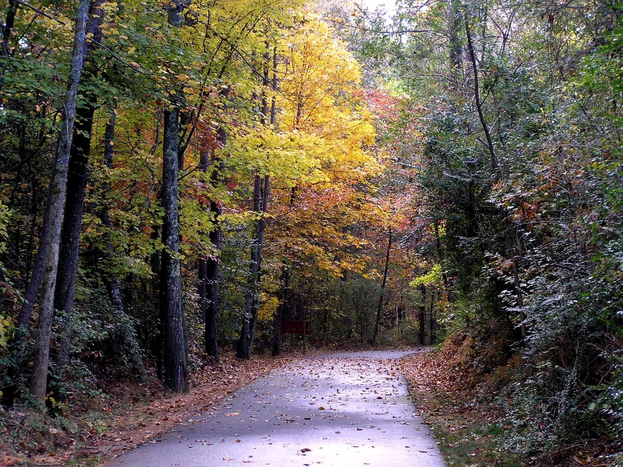
Terrora Circle in Lakemont, GA 30552 (Rabun County) is an asphalted local road and runs in a northeast-southwest direction and ends at Old 441, while the other end is a cul-de-sac. This street is part of the Bicycle route "US:GA 85".
- Road Type
- local road
- Route
- northeast-southwest
Image
Streets nearby
Old 441350 ft
Tallulah Falls Rail-Trail0.3 mi
Sand Pump Lane0.5 mi
Y Camp Road0.6 mi
Tallulah Falls Railway Trail0.6 mi
Old 441 SouthTiger Mountain Vineyards, Lakemont
0.7 mi
Dalmation Drive0.7 mi
Old Dairy Road0.9 mi
Upper Terrora Nature Trail1.0 mi
Mountain Stream Lane1.0 mi
Jane Hurt Yarn Road1.1 mi
Viola Scott Circle1.1 mi
North Rock Mountain Road1.1 mi
Sentry Lane1.1 mi
Ezzard Lane1.1 mi
Old Stone Place Road1.2 mi
Koala Circle1.2 mi
Camp Creek Road1.2 mi
Kennedy Lane1.3 mi
North Rim TrailOverlook 3, Overlook 1A, Helen Dortch Longstreet Trail System, Prescribed Burning, Overlook 5, Overlook 4, Overlook2, Hawthome Pool
1.3 mi
Keever Worley Road1.3 mi
Bluebird Lane1.3 mi
Main Street1.3 mi
Joy Bridge1.3 mi
Tallulah Gorge TrailHurricane Falls Overlook
1.4 mi
Burch Lane1.4 mi
South Rim TrailFire in Tallulah Gorge, Overlook 8, Overlook 7, Overlook 6, Overlook 10, Overlook 9
1.4 mi
Harvey Terrace1.4 mi
Stone Street1.4 mi
McKay Road1.4 mi
Tanglewood Lane1.5 mi
Abandoned railways nearby
Tallulah Falls Railway1.2 mi
Campgrounds nearby
River Falls at the Gorge0.5 mi
Athens YMCA Camp0.9 mi
Terrora Campground1.1 mi
Camp Chattooga1.2 mi
Cemeteries nearby
Tallulah Falls Cemetery1.2 mi
Joy Baptist Church Cemetery1.4 mi
Dams nearby
Mathis & Terrora Dam1.2 mi
Tallulah Falls Dam1.4 mi
Industrial areas nearby
Terrora Hydroelectric Station0.8 mi
Museums nearby
Old Tallulah Falls Jail1.2 mi
Restaurants nearby
Tallulah Adventures1.3 mi
Rivers nearby
Tallulah River0.5 mi
Streams nearby
Slaughter Pen Branch1.0 mi
Tourist information centers nearby
Jane Hurt Yarn Interpretive Center1.4 mi
Waters nearby
Tallulah Falls Lake0.9 mi
Athens YMCA Camp Lake1.1 mi
Other nearby
Terrora Substation0.7 mi
Public transit map Rabun County Legend
| Railway | |
| Bus | |
| Streetcar |
Bicycle map Rabun County Legend
| Bike path | |
| Bike lane on roadway | |
| Cycling allowed on bus lane | |
| Bicycle street | |
| Open to cyclists | |
| Open to cyclists, good path | |
| Cycling prohibited | |
| Cobblestone |
| Long-distance bike route | (depending on scale) | |
| Long-distance bike route |
Pedestrian map Rabun County Legend
| Path |
| Long-distance hiking trail | (depending on scale) | |
| Long-distance hiking trail | ||
| Pedestrians prohibited |